Detroit Will Be The Best Place To Live As Climate Worsens
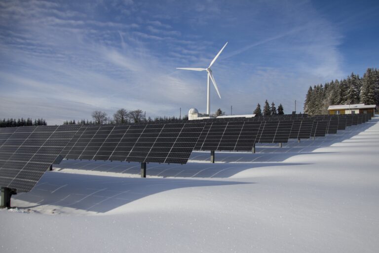
A persistent question is asked by the world’s leading experts in climate science. What would be the safest place to live as floods, drought, hurricanes, and thunderstorms increase frequency and severity? The risk of earthquakes is often added, even though their deadly effects are unrelated to global warming. These forecasts create imaginary geographic zones that will be the most habitable in 2050, the start of the decade when climate change is predicted to make many areas uninhabitable if the world does not reach specific greenhouse gas emission targets. These are also a critical part of the goals of the Paris Agreement.
Other American cities: New Orleans is running out of drinking water.
Around the world: 8 billion people as the world boils.
The most famous forecast of where people will be safest from climate change was made by Parag Khanna, a leading expert in geopolitics and globalization, In his book “MOVE: The Forces Uprooting Us,” published in 2021. He looked at the effects of climate change and demographics to determine where people would find climate-safe havens. Famously, he suggested the Great Lakes region and Michigan in particular. In a much less visible forecast made in 2017, Popular Science named Michigan the best place to live in 2100. It was part of the magazine’s story “Where to live in America, 2100 A.D.,” which looked at long-term trends in sea levels, hurricanes, floods, and drought.
A review of several studies of the best places to relocate amid climate change, particularly in the US, provides the information to create safe-haven plot maps. The first set of cities is concentrated in the mid-South from North Carolina, Virginia, Kentucky, and Tennessee. This region includes Asheville, Knoxville, Memphis, Richmond, and Louisville. The second runs from Colorado to Utah, including Denver and Salt Lake City. The third and largest include Western Pennsylvania, upstate New York, Michigan, northern Ohio, and Minnesota. The cities that are part of this plot map are Minneapolis, Green Bay, Buffalo, Toledo, Grand Rapids, and Detroit.
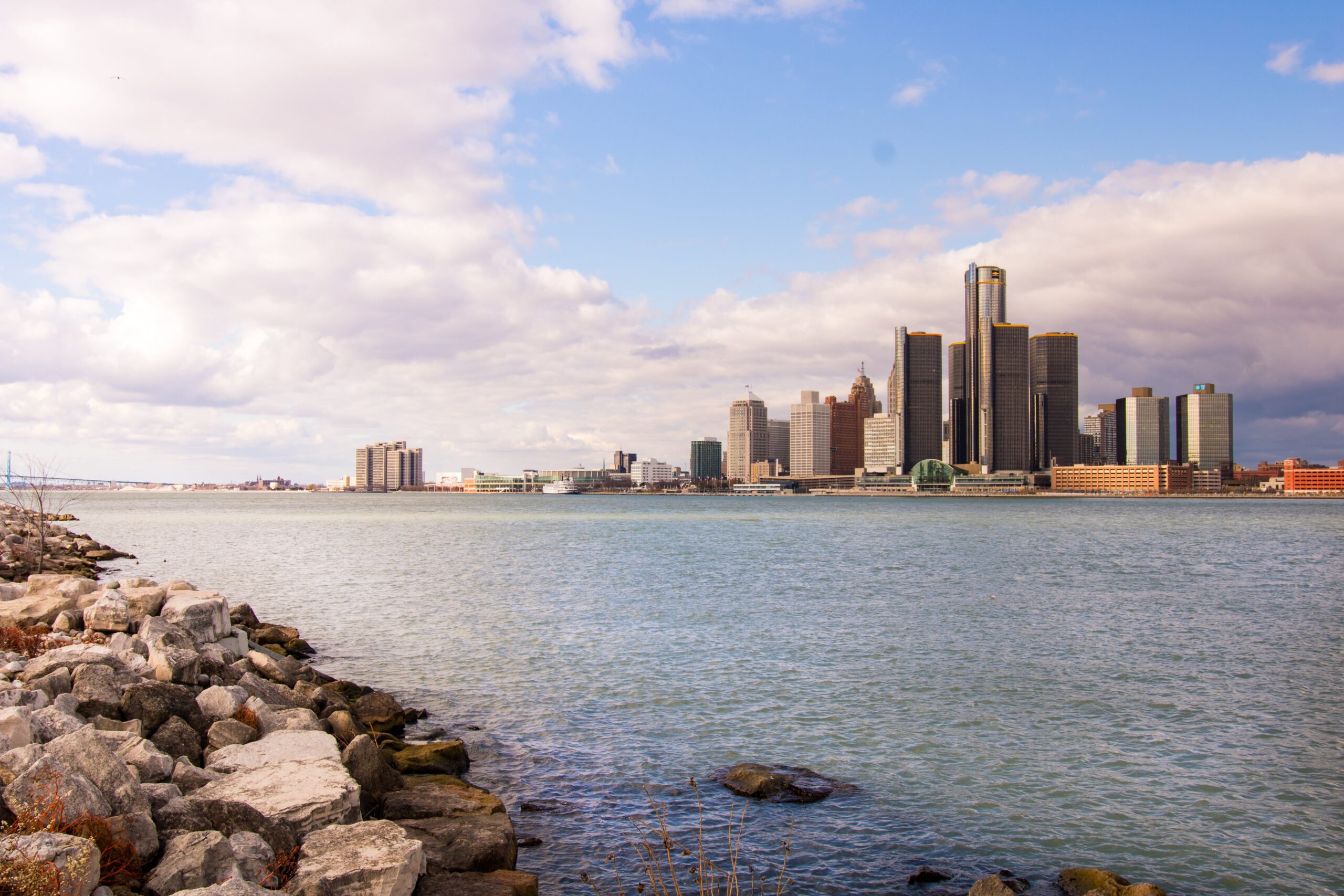
Detroit is at the center of the largest geographic area. What the Census calls the Detroit-Warren-Ann Arbor, MI Combined Statistical Area (CSA) has 5.4 million residents across 6,534 square miles. Geographically, the area runs from the Ohio border on the south to Flint on the north and Ann Arbor near its western border. Its largest city is Detroit, which has lost over half its population since 1960, when the auto industry moved its manufacturing facilities elsewhere.
If Detroit becomes a climate-change Mecca, the area will have many advantages. It has an urban center, which is largely deserted but functions nearly as it did when it was much more populated. It has several internationally regarded education institutions led by the University of Michigan. The cost of living in the region is near the national average, and has abundant farmland. Both Lake Erie and Lake Huron border it. The weather is likely to remain temperate. Deadly storms are infrequent, as is drought. Detroit, which was one of America’s great cities, may be reinvented as greater than it ever was.
More from ClimateCrisis 247
- Iran war’s next crisis – lack of water
- Why greenwashing might signal something worse in your climate stock
- Jesse Jackson and the campaign for climate justice
- China coal usage falls for first time in 10 years as green energy soars