These Are The Driest States In America
The U.S. Drought Monitor is the gold standard for measuring drought by county, state, and region across America. It is operated by the National Drought Mitigation Center at the University of Nebraska-Lincoln, the National Oceanic and Atmospheric Administration, and the U.S. Department of Agriculture. As the Department of Agriculture notes, “The Drought Monitor serves as a trigger for multiple forms of federal disaster relief for agricultural producers, and sometimes producers contact the author to suggest that drought conditions in their area are worse than what the latest drought monitor shows.”
The Drought Monitor maps are color-coded. White areas indicate normal or wet conditions, while the remaining areas are shown in shades of brown with specific designations: D0 (abnormally dry), D1 (moderate drought), D2 (severe drought), D3 (extreme drought), and D4 (exceptional drought).
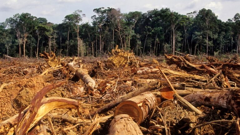
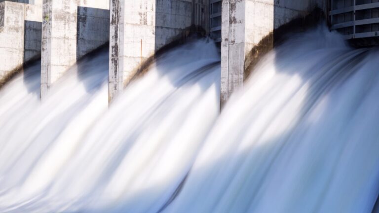
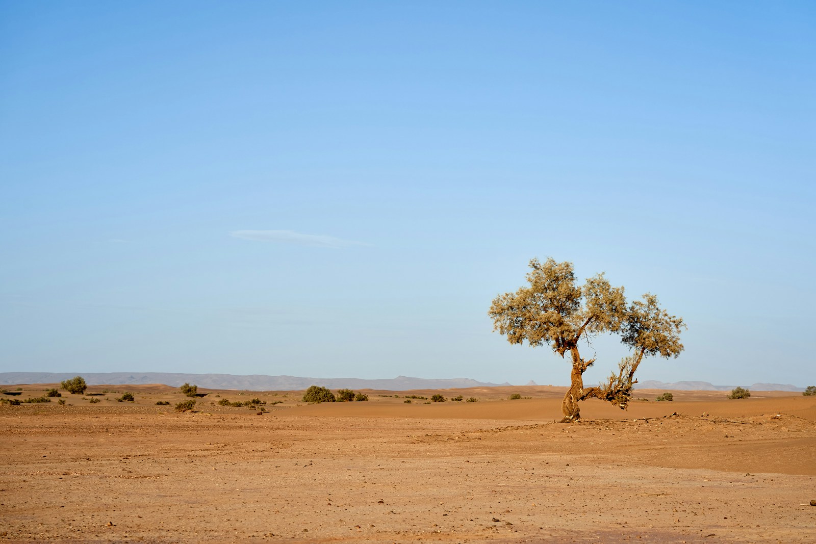
D4 conditions represent the most severe drought level, where almost no land use is possible. According to the designation: “Crop & Livestock: Exceptional and widespread losses in agriculture and grazing lands. Water Resources: Critical shortages in reservoirs, streams, rivers, and wells; record-low groundwater levels. Ecological Impacts: Extreme fire risk, potential for wildlife disease outbreaks, and long-term damage to landscapes. Water Management: Triggers water emergencies, leading to mandatory water rationing and restrictions on outdoor and indoor water use. Intensity: Represents the most intense level of drought, often linked to extreme evaporative demand and significant precipitation deficits, occurring rarely in normal climates but more frequently in changing ones.”
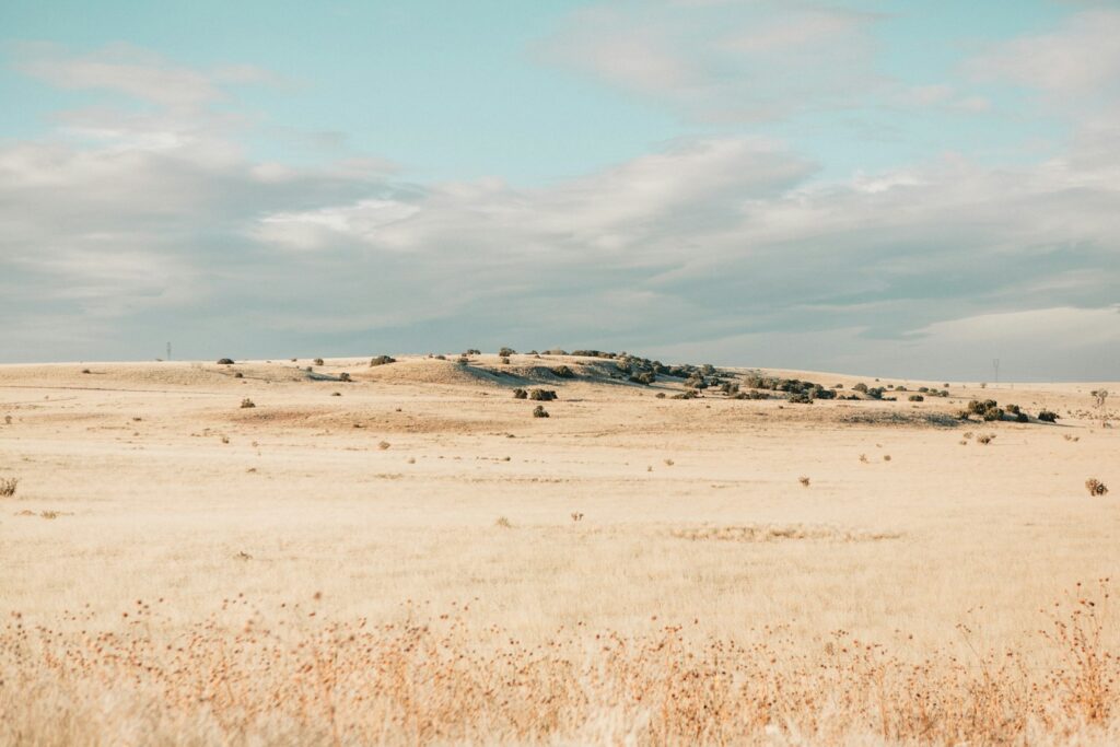
For this analysis of the driest states in America, Climatecrisis247 focused exclusively on D4-designated areas over the past 10 years—approximately 2016 to the present. Most D4 areas are concentrated in the Southwest, where an ongoing megadrought has led to persistent exceptional drought conditions. According to NOAA, “In February 2022, a new UCLA-led study found that the 22-year-long southwest North American megadrought is the region’s driest in at least 1,200 years.”
D4 conditions are rare nationally, almost never covering more than 5% of the entire U.S. at any given time. The Southwest megadrought has driven the majority of long-term D4 occurrences, with New Mexico and Arizona often showing the highest weekly and monthly D4 percentages during the 2020–2026 peaks. While the national average for D4 over 10 years is only about 3%, affected areas in these Southwest states likely average between 5% and 15% when measured across the study period.
No official ranking of average D4 percentage over precisely the last 10 years exists in a pre-compiled table from the Drought Monitor. Instead, we used historical time series reports and analyses—referred to as the OCONUS Time Series—to identify states with the highest exposure based on persistence, peak coverage, and frequency of D4 conditions.
New Mexico: Frequently tops the list for prolonged exceptional drought. Large portions of the state—sometimes 10–30%—have experienced D4 during peak periods in 2021–2023 and again in 2025–2026, with southern and southwestern areas showing the most chronic conditions tied to the Southwest megadrought.
Arizona: Shows high and recurring D4 coverage, especially in southern and central regions. The state has experienced persistent exceptional drought for extended periods, including much of 2020–2022 and parts of 2025. This often overlaps with critically low Colorado River reservoir levels, with peaks reaching over 20% of the state in severe years.
Nevada: Among the most drought-prone states overall in the last two decades, experiencing drought more than half the time since 2000. This includes significant D4 in southern Nevada and along borders with Arizona and California during remnants of the 2012–2016 drought and the 2020–2022/2025 intensifications.
Utah: Notable D4 in southern and eastern parts, particularly during the height of the Colorado River Basin crisis from 2021 to 2023.
California: Experienced extensive D4 during the 2012–2016 drought, peaking at high percentages in central and southern areas, and again in 2020–2022. However, wet winters—particularly in 2023—have reduced the long-term average compared to the inland Southwest core, though California continues to rank high in cumulative severity.