Wildfires in California, Arizona Are Spreading Dangerous Smoke Right Now
 https://climate-crisis-247-bucket.nyc3.cdn.digitaloceanspaces.com/wp-content/uploads/2025/04/07225501/5608105-150x150.jpeg
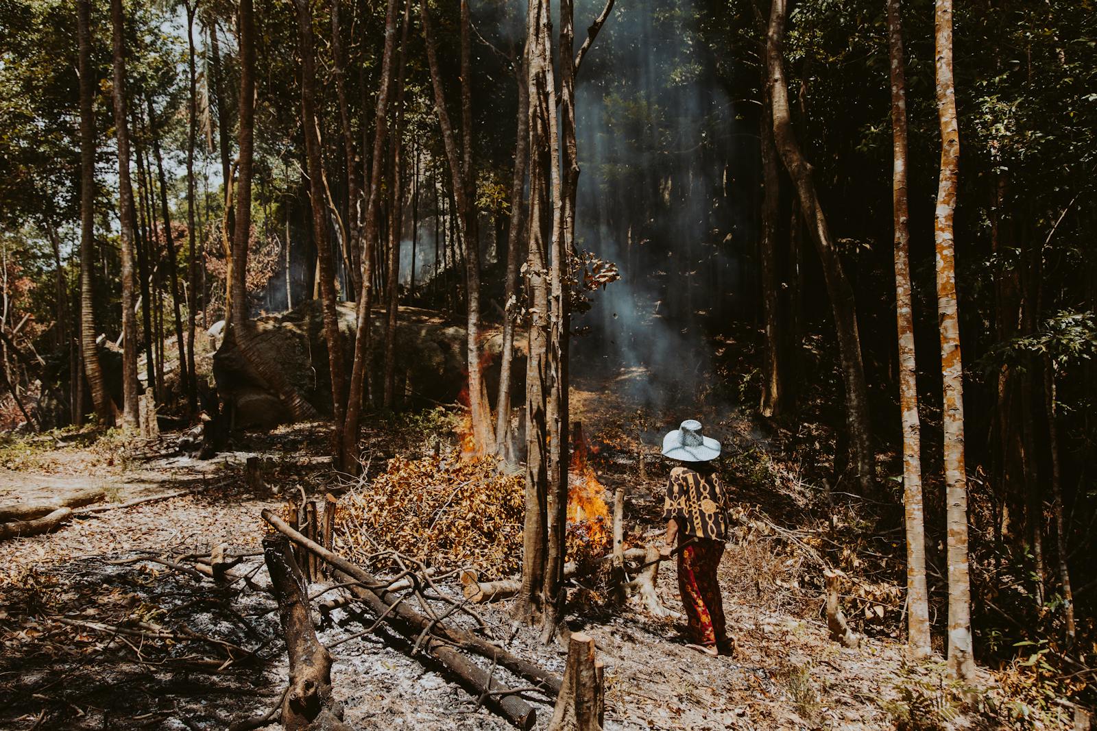
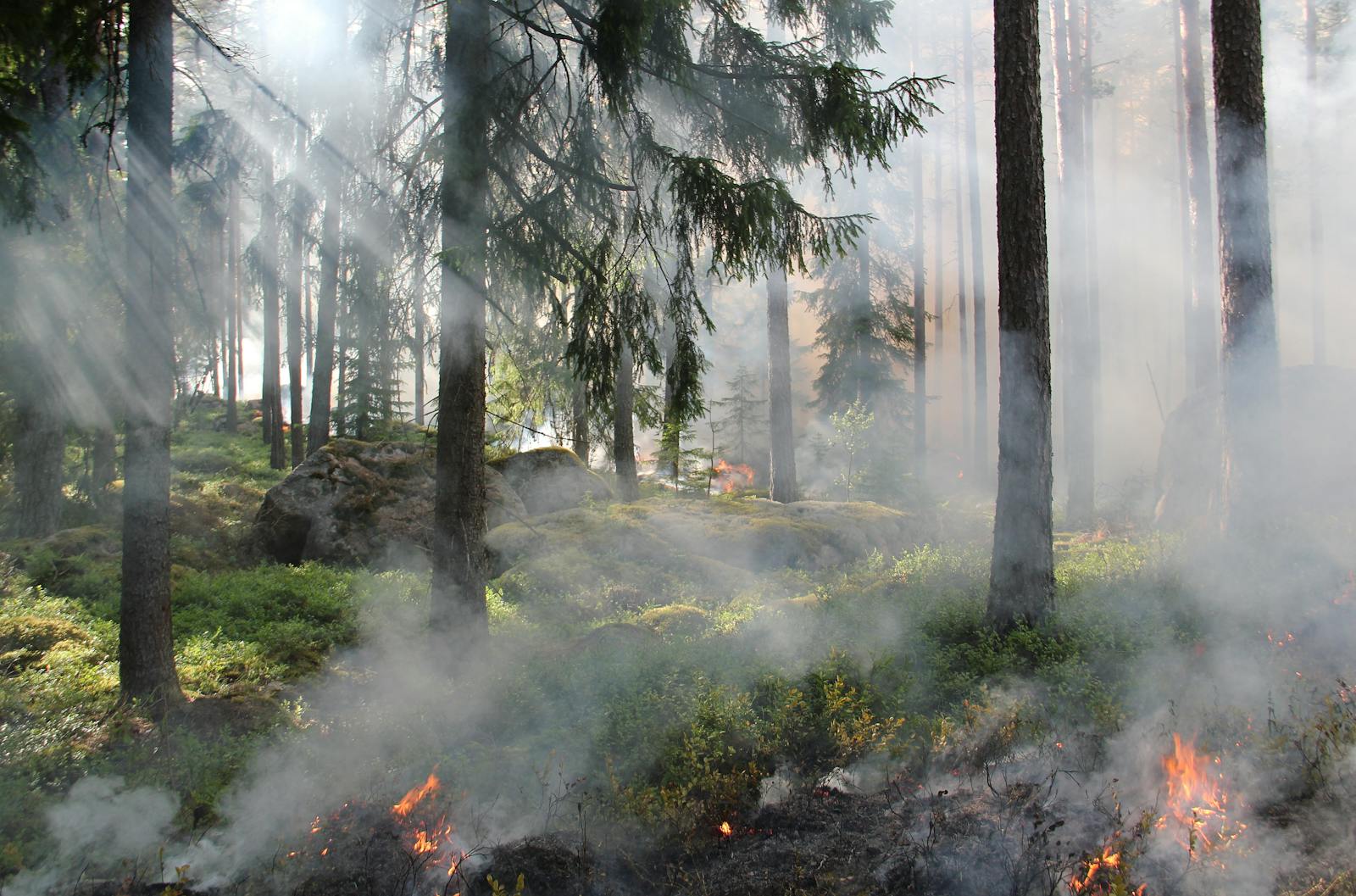
There are currently several major wildfires burning in the United States. In eastern California, firefighters are struggling to contain a 1250-acre blaze dubbed the Silver Fire, between Yosemite National Park and Death Valley National Park. Strong winds intensified the fire, leading to evacuation orders for a cluster of five evacuation zones in Inyo County and Mono County.
DOGE backlash? The Federal Departments Americans Want To Keep
Dying for air? Climate Activism Is Turning Deadly In These Cities
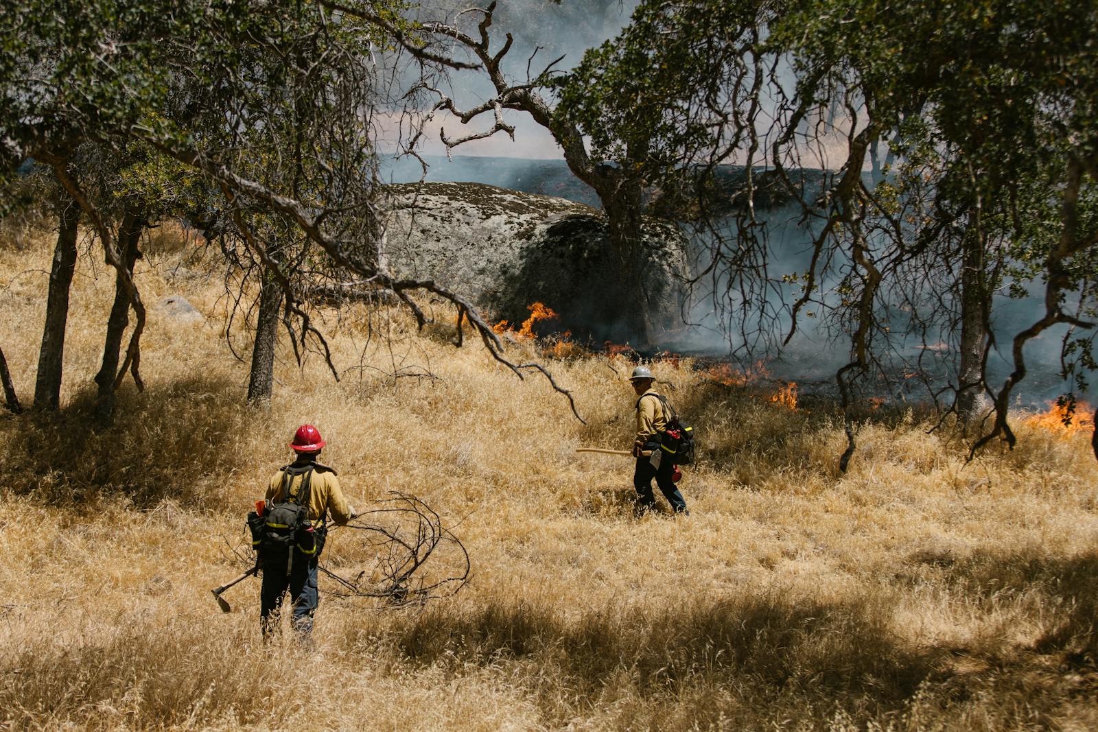
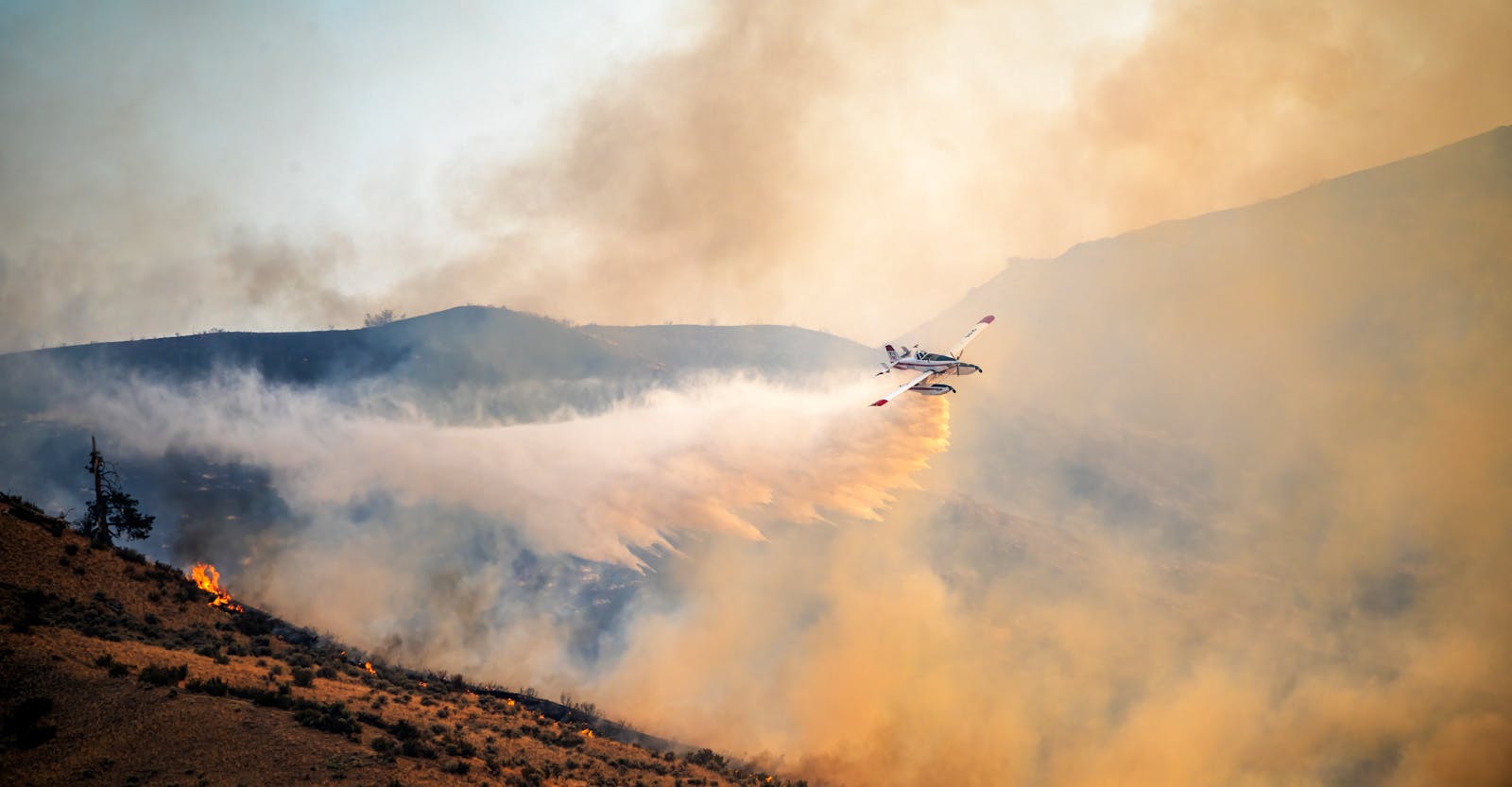
While the fire is burning in a relatively sparsely populated area, high winds are blowing dangerous smoke to the east, causing degradations in air quality in dozens of cities and towns. No amount of particulate matter is safe to breathe, and smoke from wildfires can be particularly harmful to older individuals with lung problems. At the same time, strong winds are blowing smoke from the Bull Fire in Arizona all the way to the eastern border of Texas. A closer look at the data reveals the cities where wildfires are making the air dangerous to breathe right now.
To determine the cities where wildfires are making the air dangerous to breathe, Climate Crisis 247 reviewed data on smoke forecasts and wildfires from the NOAA. Cities were ranked based on maximum forecast smoke concentration from April 1 to April 4, 2025. Only cities downwind from an uncontained wildfire as of April 1, 2025 were included. Supplemental data on total value of occupied real estate and total population by city are from the U.S. Census Bureau.
10. Lone Pine, California
- Forecast smoke concentration: 3 to 25 micrograms per cubic meter
- Nearest wildfire: Silver Fire (56.1 miles away)
- Total value of occupied homes: $101.9 million
- Total population: 1,323
9. Big Pine, California
- Forecast smoke concentration: 3 to 25 micrograms per cubic meter
- Nearest wildfire: Silver Fire (8.4 miles away)
- Total value of occupied homes: $160.9 million
- Total population: 1,563
8. West Bishop, California
- Forecast smoke concentration: 3 to 25 micrograms per cubic meter
- Nearest wildfire: Silver Fire (2.3 miles away)
- Total value of occupied homes: $396.8 million
- Total population: 2,430
7. Pima, Arizona

- Forecast smoke concentration: 3 to 25 micrograms per cubic meter
- Nearest wildfire: Bull Fire (12.1 miles away)
- Total value of occupied homes: $135.8 million
- Total population: 2,847
6. Swift Trail Junction, Arizona
- Forecast smoke concentration: 3 to 25 micrograms per cubic meter
- Nearest wildfire: Bull Fire (12.2 miles away)
- Total value of occupied homes: $90.2 million
- Total population: 2,907
5. Dixon Lane-Meadow Creek, California
- Forecast smoke concentration: 3 to 25 micrograms per cubic meter
- Nearest wildfire: Silver Fire (4.1 miles away)
- Total value of occupied homes: $281.6 million
- Total population: 3,043
4. Bishop, California

- Forecast smoke concentration: 3 to 25 micrograms per cubic meter
- Nearest wildfire: Silver Fire (2.3 miles away)
- Total value of occupied homes: $364.5 million
- Total population: 3,802
3. Thatcher, Arizona

- Forecast smoke concentration: 3 to 25 micrograms per cubic meter
- Nearest wildfire: Bull Fire (12.2 miles away)
- Total value of occupied homes: $314.1 million
- Total population: 5,281
2. Safford, Arizona

- Forecast smoke concentration: 3 to 25 micrograms per cubic meter
- Nearest wildfire: Bull Fire (12.2 miles away)
- Total value of occupied homes: $479.5 million
- Total population: 10,112
1. Bylas, Arizona
- Forecast smoke concentration: 25 to 63 micrograms per cubic meter
- Nearest wildfire: Bull Fire (5.3 miles away)
- Total value of occupied homes: $28.9 million
- Total population: 1,552
Sponsor
Find a Vetted Financial Advisor
- Finding a fiduciary financial advisor doesn't have to be hard. SmartAsset's free tool matches you with up to 3 financial advisors that serve your area in 5 minutes.
- Each advisor has been vetted by SmartAsset and is held to a fiduciary standard to act in your best interests. Get on the path toward achieving your financial goals!