River Gauges Monitor Flooding To Help Warn Residents: These High-Risk Rivers Need More
 https://climate-crisis-247-bucket.nyc3.cdn.digitaloceanspaces.com/wp-content/uploads/2025/07/07212739/jviwdhoc1ke-150x150.jpg
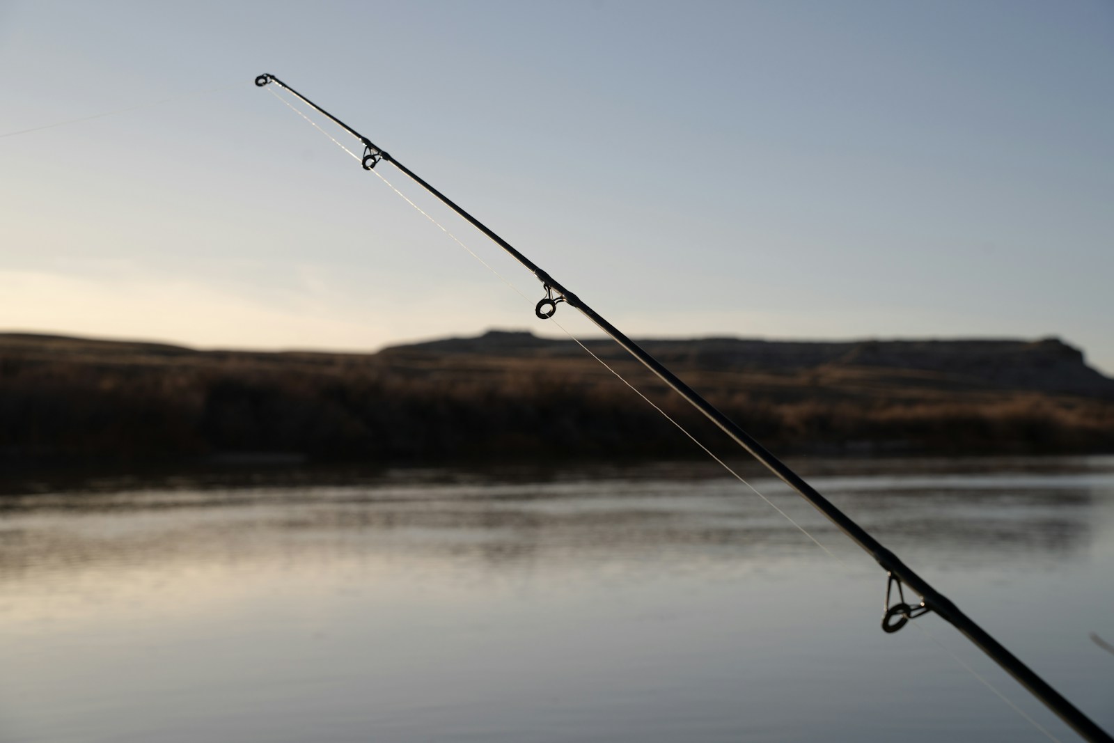
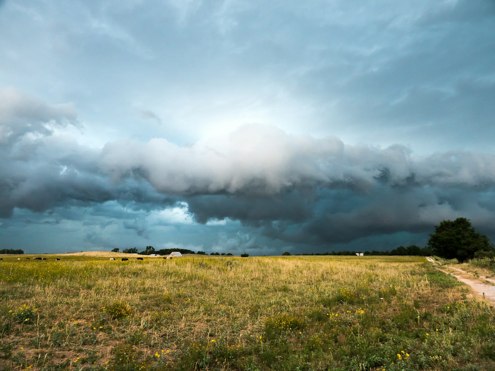
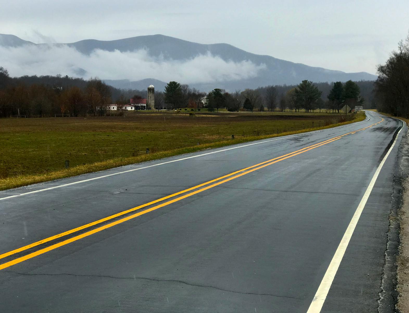
In the past week, America has witnessed a series of devastating, rapid onset floods. Water levels in the Guadalupe River in Central Texas rose 26 feet in just 45 minutes, leading to rapid runoff and flash flooding that killed at least 120 people. Several days later, flash floods in the New Mexico Central Highlands killed three people. The occurrence of simultaneous extreme flooding events, at a time when funding for critical weather monitoring systems are in jeopardy – has underscored the important role river gauges play in monitoring rising waters and providing warnings to evacuate.
Not in Kansas anymore? Tornado Alley Is Expanding South Into These Cities
Hot property? From Maui to Malibu, These Affluent Enclaves Are Becoming Wildfire Hotspots
While river gauges are a key part of flood hazard adaptation, the network of stations maintained by the U.S. Geological Survey is dangerously underfunded. While the USGS aims to maintain 4,756 federal priority gauges, only 3,436 are active due to funding limitations. Without proper monitoring, many smaller rivers – and the communities in their floodplains – are vulnerable to surprise inundations.
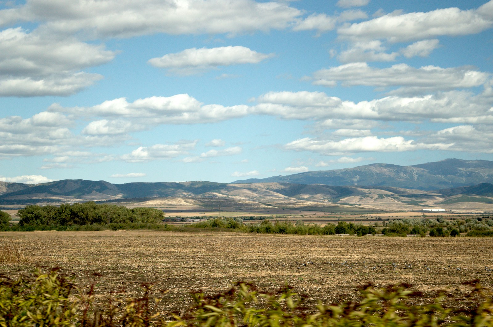
An analysis of USGS data reveals significant gaps in river gauge coverage, particularly on waterways flowing through flood-prone regions. Some rivers average fewer than one operational gauge every ten miles, despite being surrounded by counties with some of the nation’s highest riverine flood risks. A closer look at data reveals the 20 high-risk rivers with the lowest concentrations of monitoring stations.
To identify the rivers with the greatest need for more river gauges, Climate Crisis 247 reviewed data on USGS river gauge locations and the FEMA’s National Risk Index. Rivers were ranked based on the number of operations USGS river gauges as of July 8, 2025 per 10 miles of river. Only rivers whose adjacent counties have an average riverine flood risk of at least 80 out of 100 – the top fifth percentile – were included. Average riverine flood risk data were calculated from FEMA NRI data for March 2023, and are based on riverine flooding incidents from 1996 to 2019.
20. South Fork Clearwater River (Northwestern Forested Mountains)
- Concentration of operational USGS river gauges: 1.7 gauges per 10 miles
- Average riverine flood risk of adjacent counties: 83.0/100
- Most populous riverbed counties: Idaho County, ID
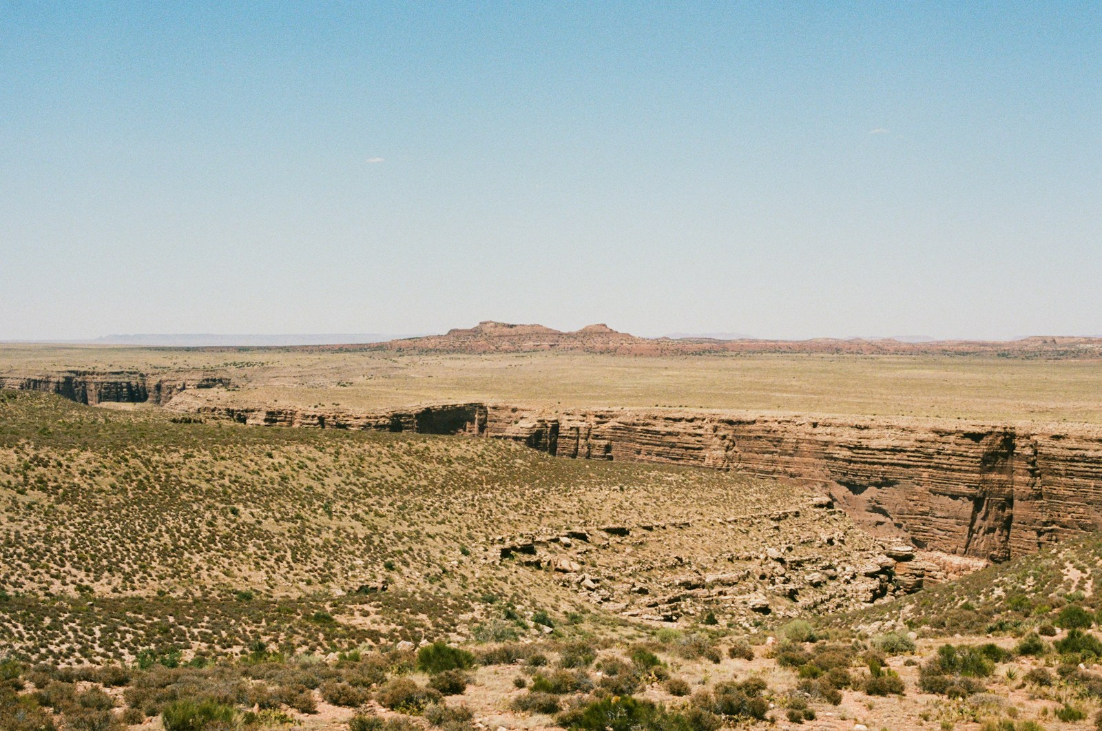
19. Polacca Wash (North American Deserts)

- Concentration of operational USGS river gauges: 1.6 gauges per 10 miles
- Average riverine flood risk of adjacent counties: 89.4/100
- Most populous riverbed counties: Coconino County, AZ, Navajo County, AZ
18. Fremont River (North American Deserts)
- Concentration of operational USGS river gauges: 1.6 gauges per 10 miles
- Average riverine flood risk of adjacent counties: 86.1/100
- Most populous riverbed counties: Wayne County, UT
17. Turkey Creek (Great Plains)
- Concentration of operational USGS river gauges: 1.6 gauges per 10 miles
- Average riverine flood risk of adjacent counties: 96.6/100
- Most populous riverbed counties: Uvalde County, TX, Zavala County, TX, Dimmit County, TX
16. Mountain Fork (Eastern Temperate Forests)
- Concentration of operational USGS river gauges: 1.5 gauges per 10 miles
- Average riverine flood risk of adjacent counties: 85.7/100
- Most populous riverbed counties: Le Flore County, OK, McCurtain County, OK, Polk County, AR
15. Pocatalico River (Eastern Temperate Forests)
- Concentration of operational USGS river gauges: 1.5 gauges per 10 miles
- Average riverine flood risk of adjacent counties: 83.3/100
- Most populous riverbed counties: Kanawha County, WV, Putnam County, WV, Jackson County, WV, Roane County, WV
14. Pumpkin Creek (Great Plains)
- Concentration of operational USGS river gauges: 1.5 gauges per 10 miles
- Average riverine flood risk of adjacent counties: 86.5/100
- Most populous riverbed counties: Custer County, MT, Powder River County, MT
13. Terlingua Creek (North American Deserts)
- Concentration of operational USGS river gauges: 1.5 gauges per 10 miles
- Average riverine flood risk of adjacent counties: 99.1/100
- Most populous riverbed counties: Brewster County, TX
12. Lochsa River (Northwestern Forested Mountains)

- Concentration of operational USGS river gauges: 1.5 gauges per 10 miles
- Average riverine flood risk of adjacent counties: 83.0/100
- Most populous riverbed counties: Idaho County, ID
11. San Miguel Creek (Great Plains)

- Concentration of operational USGS river gauges: 1.5 gauges per 10 miles
- Average riverine flood risk of adjacent counties: 89.4/100
- Most populous riverbed counties: Medina County, TX, Atascosa County, TX, Frio County, TX, McMullen County, TX
10. Aransas River (Great Plains)
- Concentration of operational USGS river gauges: 1.4 gauges per 10 miles
- Average riverine flood risk of adjacent counties: 85.1/100
- Most populous riverbed counties: San Patricio County, TX, Bee County, TX, Aransas County, TX, Refugio County, TX
9. Clear Creek (North American Deserts)
- Concentration of operational USGS river gauges: 1.3 gauges per 10 miles
- Average riverine flood risk of adjacent counties: 89.4/100
- Most populous riverbed counties: Coconino County, AZ, Navajo County, AZ
8. West Nueces River (Great Plains)

- Concentration of operational USGS river gauges: 1.3 gauges per 10 miles
- Average riverine flood risk of adjacent counties: 80.4/100
- Most populous riverbed counties: Uvalde County, TX, Kinney County, TX, Edwards County, TX
7. South Fork Kern River (Northwestern Forested Mountains)
- Concentration of operational USGS river gauges: 1.1 gauges per 10 miles
- Average riverine flood risk of adjacent counties: 86.2/100
- Most populous riverbed counties: Kern County, CA, Tulare County, CA, Inyo County, CA
6. Beaver Creek (Great Plains)
- Concentration of operational USGS river gauges: 1.1 gauges per 10 miles
- Average riverine flood risk of adjacent counties: 89.4/100
- Most populous riverbed counties: Valley County, MT, Blaine County, MT, Phillips County, MT
5. Cherry Creek (Great Plains)
- Concentration of operational USGS river gauges: 1.0 gauges per 10 miles
- Average riverine flood risk of adjacent counties: 83.2/100
- Most populous riverbed counties: Meade County, SD, Ziebach County, SD, Haakon County, SD
4. Kings River (Eastern Temperate Forests)

- Concentration of operational USGS river gauges: 1.0 gauges per 10 miles
- Average riverine flood risk of adjacent counties: 83.0/100
- Most populous riverbed counties: Barry County, MO, Stone County, MO, Carroll County, AR, Madison County, AR
3. Dinnebito Wash (North American Deserts)

- Concentration of operational USGS river gauges: 0.9 gauges per 10 miles
- Average riverine flood risk of adjacent counties: 89.4/100
- Most populous riverbed counties: Coconino County, AZ, Navajo County, AZ
2. Crow Creek (Great Plains)

- Concentration of operational USGS river gauges: 0.9 gauges per 10 miles
- Average riverine flood risk of adjacent counties: 80.7/100
- Most populous riverbed counties: Weld County, CO, Laramie County, WY
1. Amargosa River (North American Deserts)

- Concentration of operational USGS river gauges: 0.6 gauges per 10 miles
- Average riverine flood risk of adjacent counties: 80.9/100
- Most populous riverbed counties: San Bernardino County, CA, Nye County, NV, Inyo County, CA
Sponsor
Find a Vetted Financial Advisor
- Finding a fiduciary financial advisor doesn't have to be hard. SmartAsset's free tool matches you with up to 3 financial advisors that serve your area in 5 minutes.
- Each advisor has been vetted by SmartAsset and is held to a fiduciary standard to act in your best interests. Get on the path toward achieving your financial goals!