Flooding in New Mexico Just Claimed Three Lives: See Where Flooding Is Worst Right Now
 https://climate-crisis-247-bucket.nyc3.cdn.digitaloceanspaces.com/wp-content/uploads/2025/07/07212904/r3okrsqtlcm-150x150.jpg
On Tuesday, thunderstorms and heavy rains swept through the New Mexico Central Highlands, triggering rapid runoff and dangerous flash floods. According to a statement from the Village of Ruidoso, the floods have resulted in the deaths of three individuals as of July 8, 2025. In neighboring Texas, rescue efforts are ongoing from the Guadalupe River flood that killed at least 119, while communities from North Carolina to Maryland are dealing with flooding from tropical storm Chantal.
Not in Kansas anymore? Tornado Alley Is Expanding South Into These Cities
Hot property? From Maui to Malibu, These Affluent Enclaves Are Becoming Wildfire Hotspots
The co-occurrence of simultaneous extreme rainfall events is causing unprecedented flood activity nationwide. The National Weather Service has issued flood watches in 204 counties, representing more than 34 million Americans. In Rio Ruidoso – and 19 other rivers – streamflows are near historic highs, ranking in the 98th percentile of observed discharge, while water levels are several feet above flooding thresholds. A closer look at real-time data from the U.S. Geological Survey reveals the places where flooding is at historic extremes right now.
To determine where flooding is at historic extremes right now, Climate Crisis 247 reviewed data on current flooding observations from the U.S. Geological Survey. Stations were ranked based on the historic percentile of current streamflow for July 9, 2025. Stations where current streamflow conditions are in the highest percentile – meaning where streamflow levels are at their most record-breaking – were ranked highest. Supplemental data on current water levels and flooding thresholds are also from the USGS. Station locations were paired to Census Bureau places using nearest neighbor analysis.
20. Llano River at Fredericksburg, TX (Gillespie County)
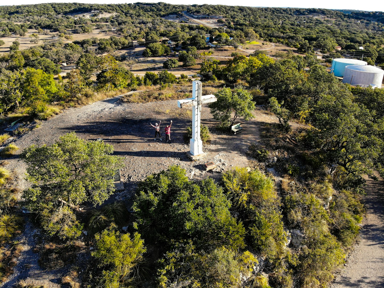
- Current streamflow: 1,080 cubic feet per second (98.08th percentile)
- Current water level: 8.71 feet
- Flooding threshold: 18.00 feet
19. Dismal River at North Platte, NE (Lincoln County)
Current streamflow: 287 cubic feet per second (98.15th percentile)
Current water level: 1.87 feet
Flooding threshold: 10.00 feet
18. Deep River at Sanford, NC (Lee County)
- Current streamflow: 5,940 cubic feet per second (98.15th percentile)
- Current water level: 4.90 feet
- Flooding threshold: 9.00 feet
17. Plum Creek at Greencastle, IN (Putnam County)
- Current streamflow: 400 cubic feet per second (98.21st percentile)
- Current water level: 4.39 feet
- Flooding threshold: 4.00 feet
16. Deep Creek at Snyder, TX (Scurry County)
- Current streamflow: 182 cubic feet per second (98.25th percentile)
- Current water level: 4.55 feet
- Flooding threshold: 14.00 feet
15. San Saba River at Brownwood, TX (Brown County)

- Current streamflow: 4,770 cubic feet per second (98.28th percentile)
- Current water level: 18.08 feet
- Flooding threshold: 24.00 feet
14. Eno River at Durham, NC (Durham County)
- Current streamflow: 1,490 cubic feet per second (98.36th percentile)
- Current water level: 5.86 feet
- Flooding threshold: 20.00 feet
13. Clear Fork Brazos River at Sweetwater, TX (Nolan County)

- Current streamflow: 91 cubic feet per second (98.41st percentile)
- Current water level: 7.25 feet
- Flooding threshold: 18.00 feet
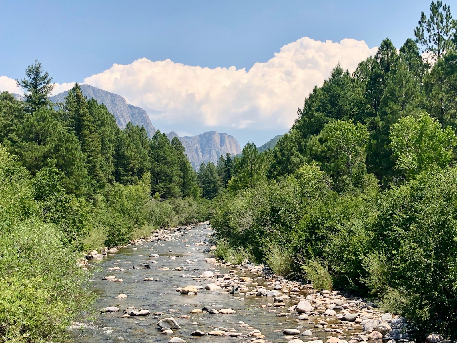
12. Rio Ruidoso at Ruidoso, NM (Lincoln County)
- Current streamflow: 114 cubic feet per second (98.59th percentile)
- Current water level: 3.16 feet
- Flooding threshold: 10.00 feet
11. Muskegon River at Rockford, MI (Kent County)
- Current streamflow: 4,650 cubic feet per second (98.75th percentile)
- Current water level: 7.38 feet
- Flooding threshold: 11.00 feet
10. Eno River at Hillsborough, NC (Orange County)

- Current streamflow: 00 cubic feet per second (98.80th percentile)
- Current water level: 4.09 feet
- Flooding threshold: 16.00 feet
9. Rio Hondo at Roswell, NM (Chaves County)
- Current streamflow: 1,220 cubic feet per second (98.82nd percentile)
- Current water level: 17.38 feet
- Flooding threshold: 26.00 feet
8. Slate River at Lake Monticello, VA (Fluvanna County)
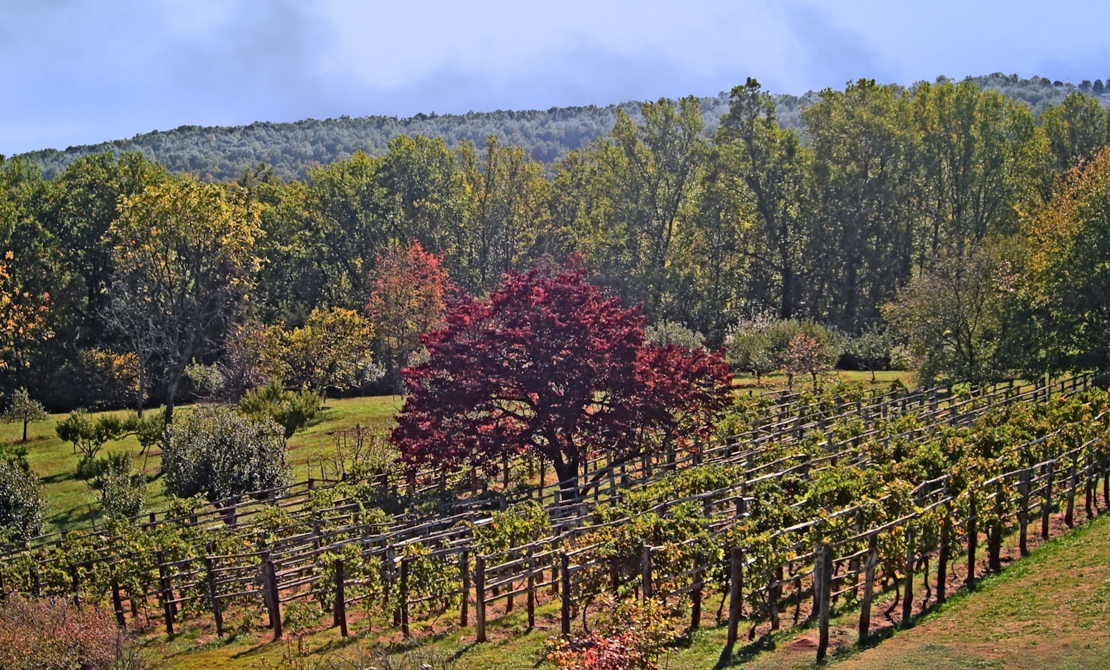
- Current streamflow: 573 cubic feet per second (98.88th percentile)
- Current water level: 5.08 feet
- Flooding threshold: 12.00 feet
7. Conestoga River at Lancaster, PA (Lancaster County)

- Current streamflow: 1,550 cubic feet per second (98.95th percentile)
- Current water level: 5.51 feet
- Flooding threshold: 11.00 feet
6. St. John River at Caribou, ME (Aroostook County)

- Current streamflow: 28,400 cubic feet per second (98.98th percentile)
- Current water level: 10.70 feet
- Flooding threshold: 22.50 feet
5. Appomattox River at Farmville, VA (Prince Edward County)

- Current streamflow: 665 cubic feet per second (98.99th percentile)
- Current water level: 7.48 feet
- Flooding threshold: 16.00 feet
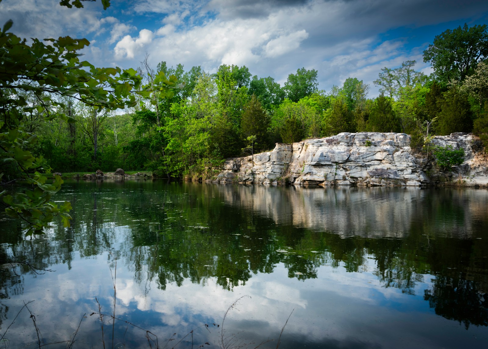
4. Jacks Fork at West Plains, MO (Howell County)

- Current streamflow: 1,800 cubic feet per second (99.03rd percentile)
- Current water level: 4.82 feet
- Flooding threshold: 12.00 feet
3. Current River at Poplar Bluff, MO (Butler County)
- Current streamflow: 5,040 cubic feet per second (99.04th percentile)
- Current water level: 5.80 feet
- Flooding threshold: 20.00 feet
2. San Saba River at Brady, TX (McCulloch County)
- Current streamflow: 408 cubic feet per second (99.05th percentile)
- Current water level: 4.82 feet
- Flooding threshold: 18.00 feet
1. Minnesota River at Montevideo, MN (Chippewa County)
- Current streamflow: 12,100 cubic feet per second (99.12nd percentile)
- Current water level: 16.58 feet
- Flooding threshold: 14.00 feet