From New York To California: Where Wildfire Smoke Is Making the Air Dangerous to Breathe
 https://climate-crisis-247-bucket.nyc3.digitaloceanspaces.com/wp-content/uploads/2024/11/08000906/9398263-150x150.jpg
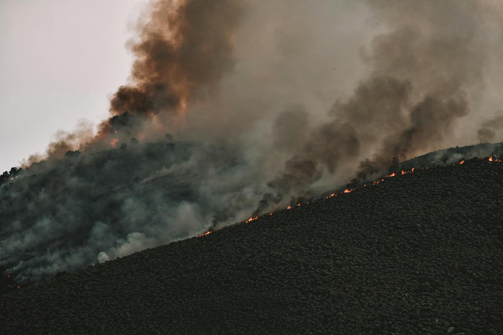
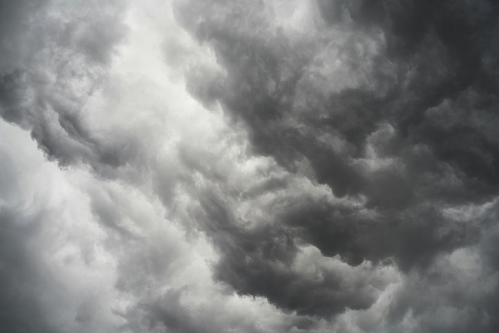
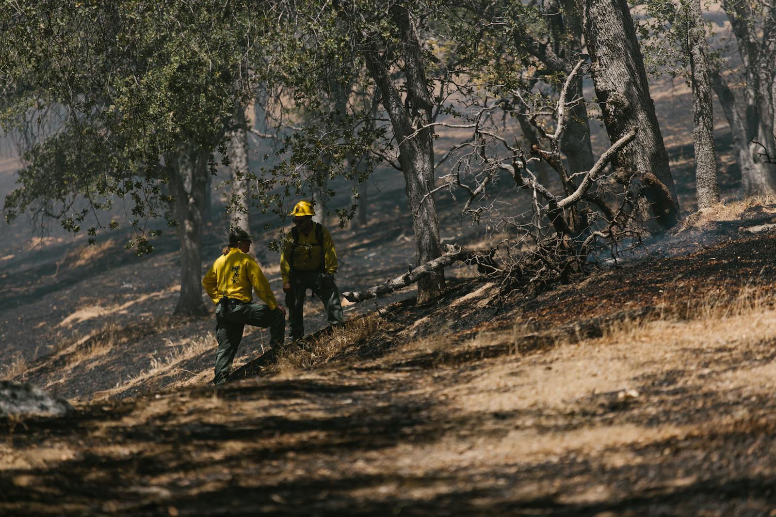
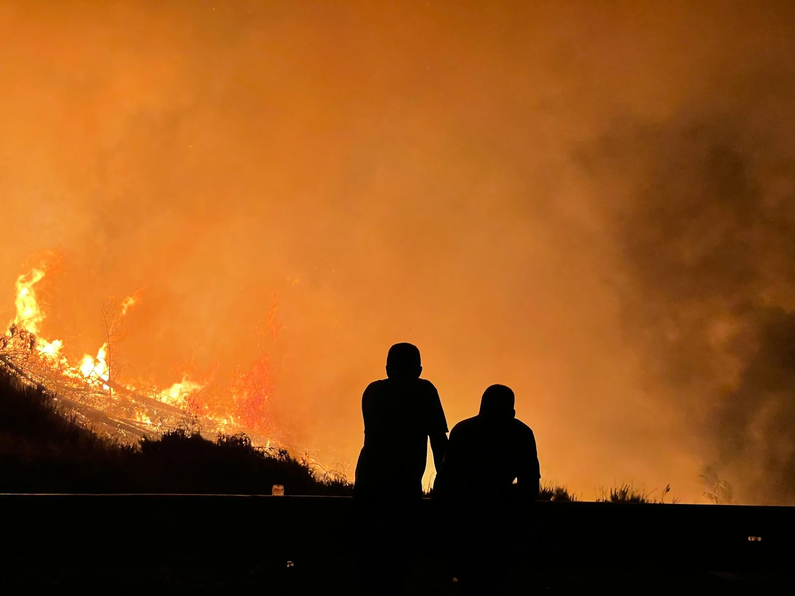
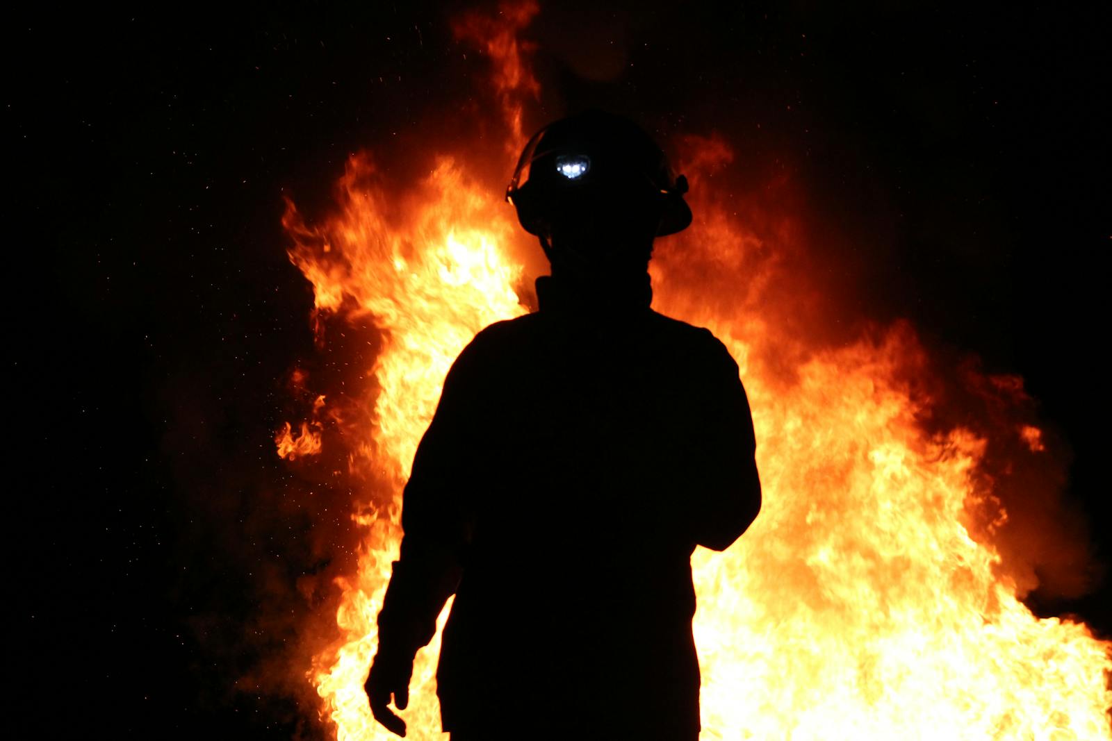
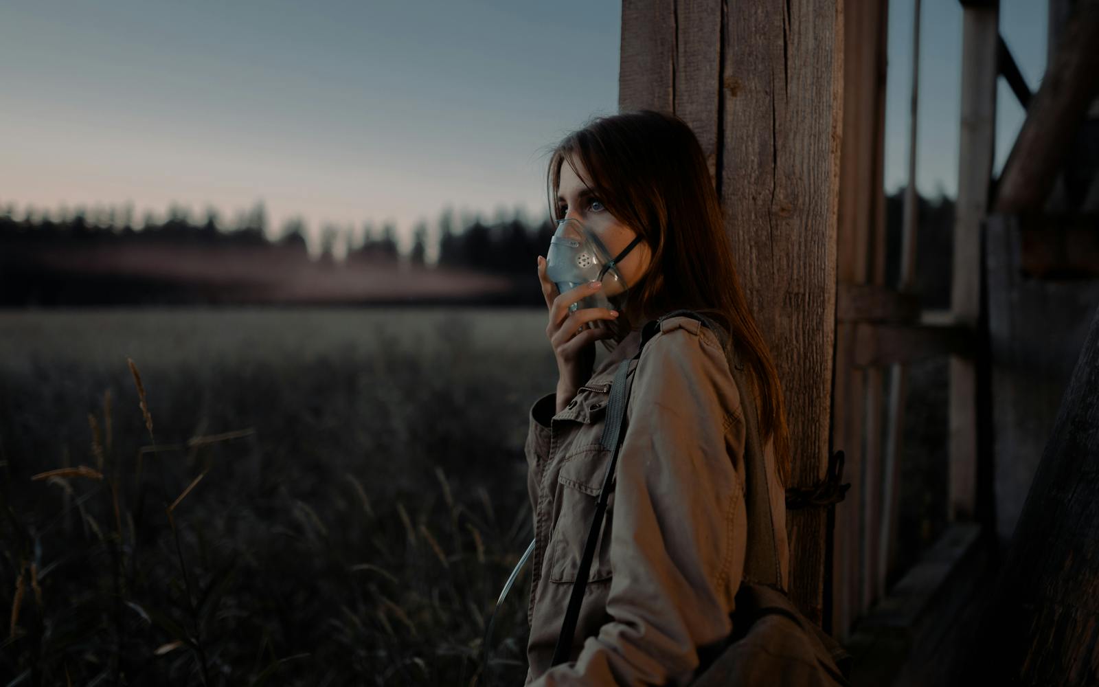
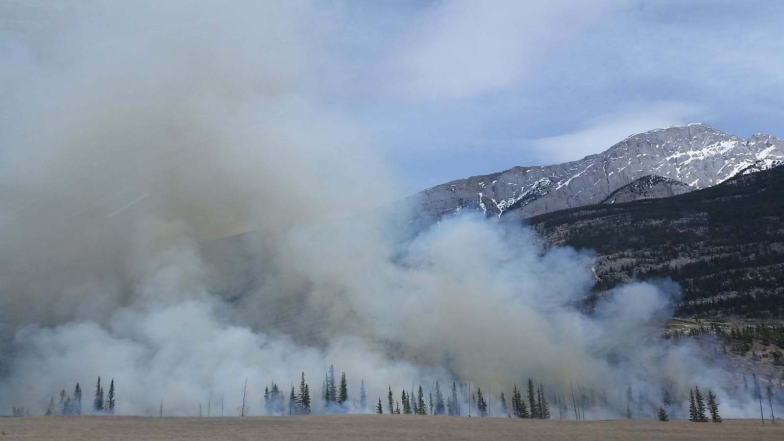
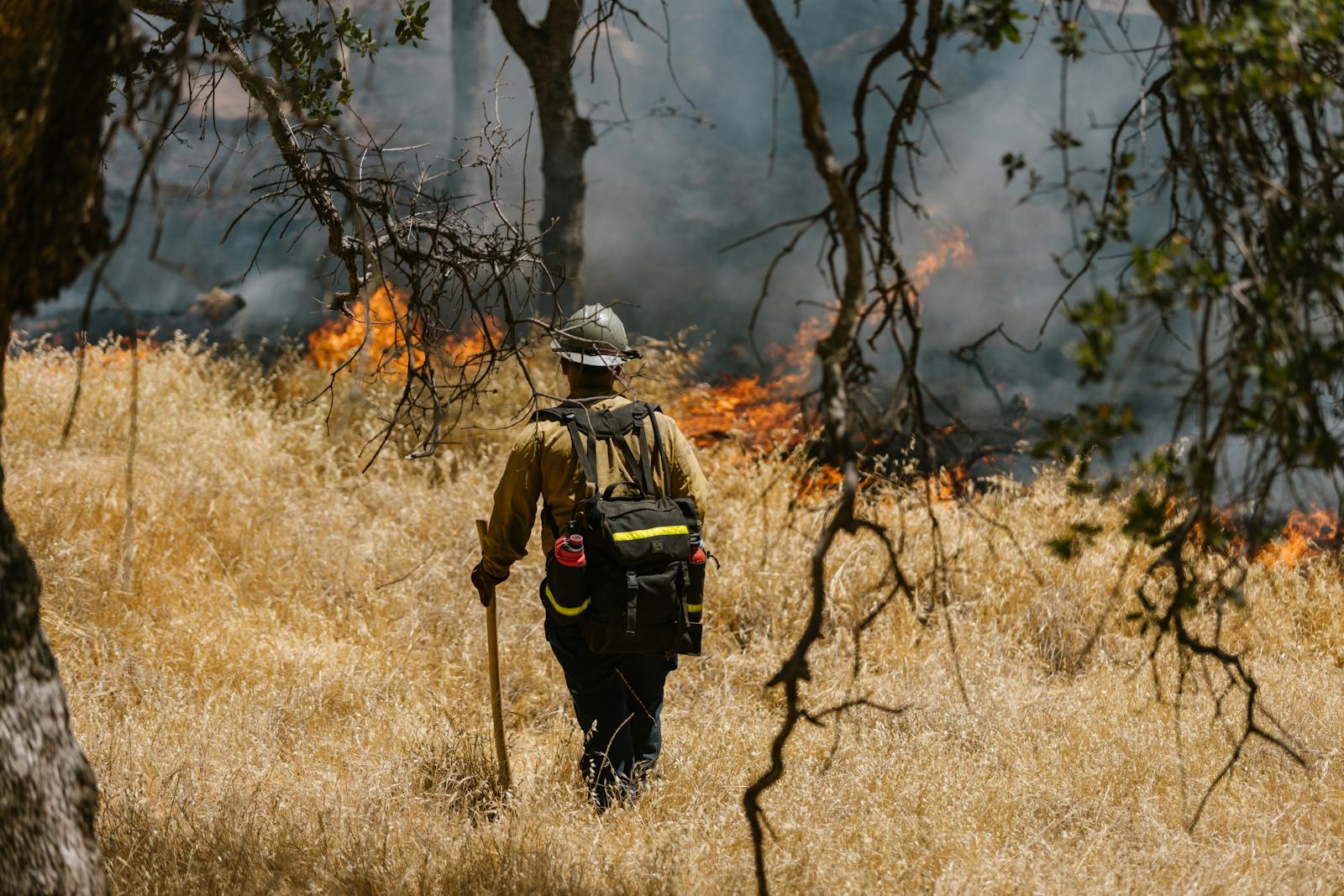
In what has become the driest fall in recorded history, 87.8% of the contiguous U.S. is currently abnormally dry, the largest share since the U.S. Drought Monitor began tracking national drought conditions in 1999. Extensive dry vegetation and high winds have led to an abnormally long and busy wildfire season, with more than a dozen major wildfires in 13 states collectively burning over 400,000 acres throughout the United States.
Warm November? These 25 Cities Are Smashing Heat Records at an Astonishing Pace
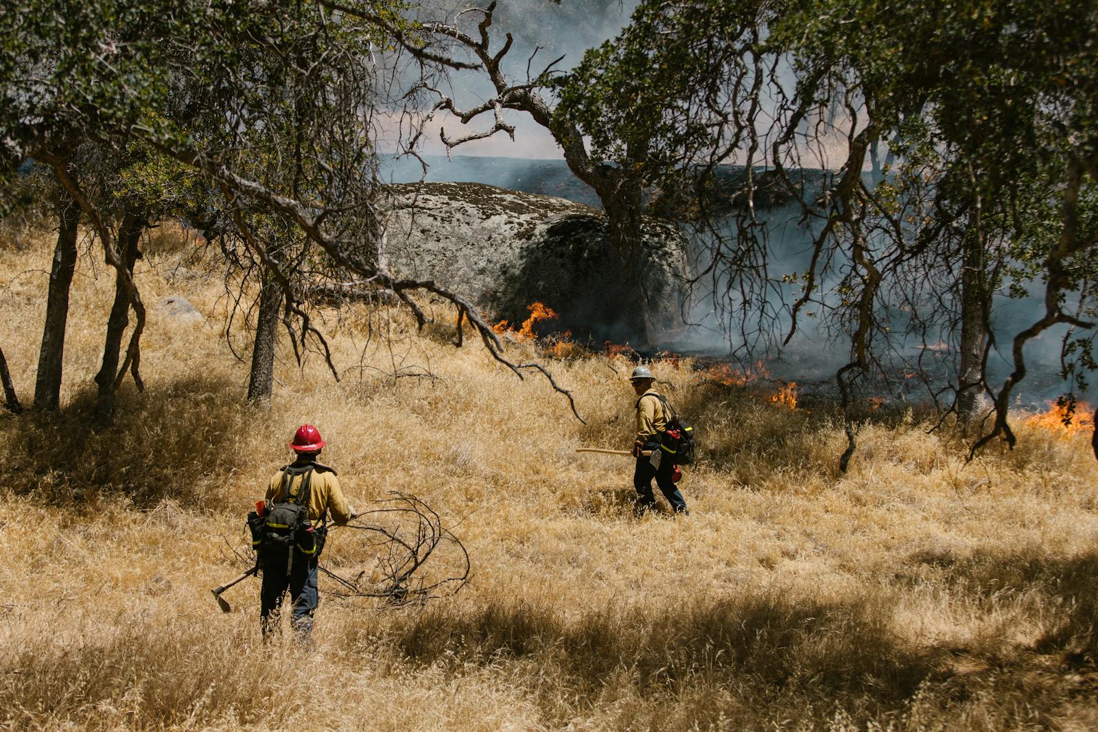
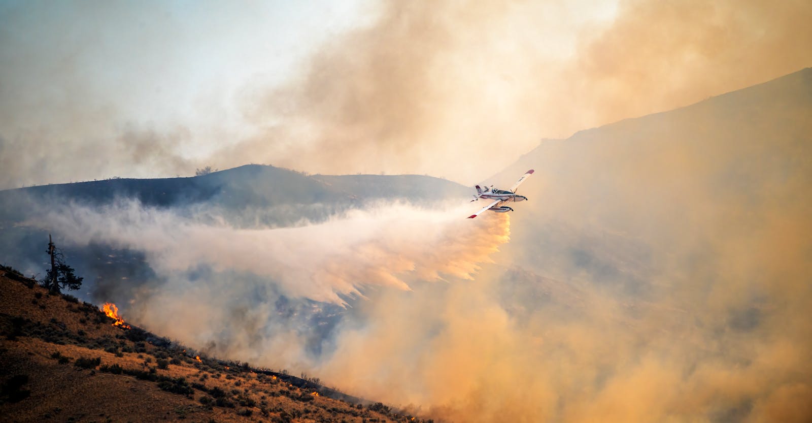
A Tree Burns In Brooklyn? Fire Breaks Out In NYC’s Prospect Park
A brush fire broke out in Brooklyn’s Prospect Park on Friday, while crews from the New York City Fire Department worked to contain a 127-acre blaze in neighboring Connecticut. Large swaths of smoke from the tri-state fires are drifting north into Vermont, while large fires in the western U.S. are having measurable impacts on air quality in Washington and Oregon. A closer look at the data reveals where wildfire smoke is causing dangerous degradations in air quality right now.
To determine the cities where wildfires are reducing air quality, Climate Crisis 247 reviewed data on particulate matter concentrations from the EPA’s AirNow program and spatial data on wildfire surface smoke from the National Weather Service. Counties were ranked based on the percentage change in PM2.5 concentration from 2019-2023 baselines to present-day readings for November 10, 2024. Only counties with at least 1 microgram per cubic meter of wildfire smoke particulate as of November 10, 2024 were considered.
25. Columbia County, OR

- Current PM2.5 concentration: 16.6 µg/m³ (2.1 times normal)
- Wildfire smoke concentration: 0-3 µg/m³
- County seat: Saint Helens
24. Calaveras County, CA
- Current PM2.5 concentration: 16.2 µg/m³ (2.1 times normal)
- Wildfire smoke concentration: 0-3 µg/m³
- County seat: San Andreas
23. Bennington County, VT
- Current PM2.5 concentration: 13.1 µg/m³ (2.2 times normal)
- Wildfire smoke concentration: 0-3 µg/m³
- County seat: Manchester
22. Albany County, NY
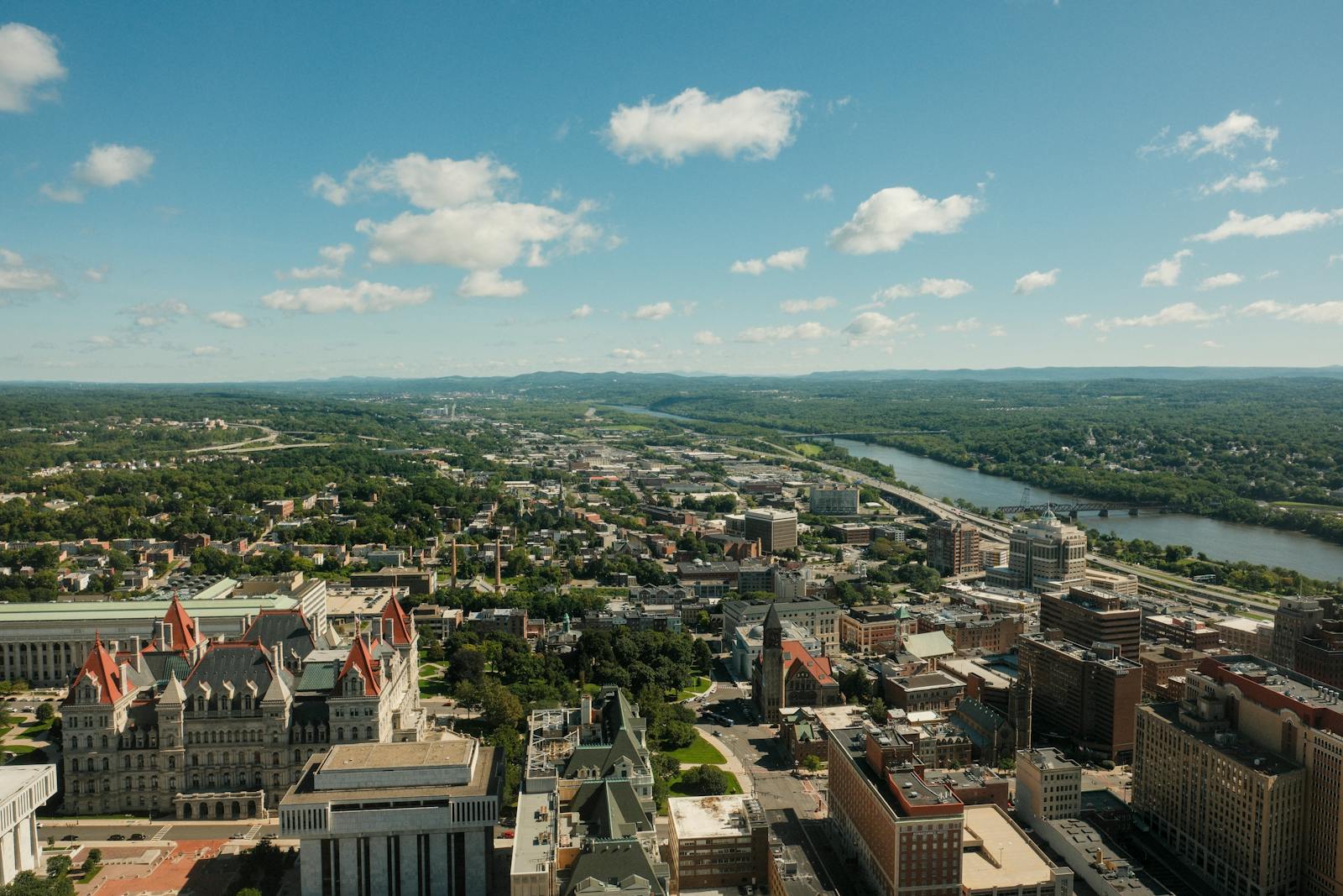
- Current PM2.5 concentration: 12.5 µg/m³ (2.2 times normal)
- Wildfire smoke concentration: 0-3 µg/m³
- County seat: Albany
21. Schenectady County, NY

- Current PM2.5 concentration: 12.4 µg/m³ (2.2 times normal)
- Wildfire smoke concentration: 0-3 µg/m³
- County seat: Schenectady
20. Saratoga County, NY
- Current PM2.5 concentration: 12.6 µg/m³ (2.2 times normal)
- Wildfire smoke concentration: 0-3 µg/m³
- County seat: Ballston Spa
19. Rensselaer County, NY

- Current PM2.5 concentration: 12.7 µg/m³ (2.2 times normal)
- Wildfire smoke concentration: 0-3 µg/m³
- County seat: Troy
18. Grant County, WA
- Current PM2.5 concentration: 22.6 µg/m³ (2.3 times normal)
- Wildfire smoke concentration: 0-3 µg/m³
- County seat: Ephrata
17. Stevens County, WA
- Current PM2.5 concentration: 26.5 µg/m³ (2.3 times normal)
- Wildfire smoke concentration: 0-3 µg/m³
- County seat: Colville
16. Kitsap County, WA
- Current PM2.5 concentration: 14.1 µg/m³ (2.4 times normal)
- Wildfire smoke concentration: 0-3 µg/m³
- County seat: Port Orchard
15. Bonner County, ID
- Current PM2.5 concentration: 25.6 µg/m³ (2.5 times normal)
- Wildfire smoke concentration: 0-3 µg/m³
- County seat: Sandpoint
14. Benton County, WA
- Current PM2.5 concentration: 23.5 µg/m³ (2.5 times normal)
- Wildfire smoke concentration: 0-3 µg/m³
- County seat: Prosser
13. Douglas County, WA
- Current PM2.5 concentration: 31.5 µg/m³ (2.6 times normal)
- Wildfire smoke concentration: 0-3 µg/m³
- County seat: Waterville
12. Okanogan County, WA
- Current PM2.5 concentration: 32.0 µg/m³ (2.7 times normal)
- Wildfire smoke concentration: 0-3 µg/m³
- County seat: Okanogan
11. Multnomah County, OR

- Current PM2.5 concentration: 21.1 µg/m³ (2.8 times normal)
- Wildfire smoke concentration: 0-3 µg/m³
- County seat: Portland
10. Clackamas County, OR
- Current PM2.5 concentration: 20.4 µg/m³ (2.9 times normal)
- Wildfire smoke concentration: 0-3 µg/m³
- County seat: Oregon City
9. Kittitas County, WA
- Current PM2.5 concentration: 22.3 µg/m³ (2.9 times normal)
- Wildfire smoke concentration: 0-3 µg/m³
- County seat: Ellensburg
8. Yakima County, WA
- Current PM2.5 concentration: 29.8 µg/m³ (3.0 times normal)
- Wildfire smoke concentration: 0-3 µg/m³
- County seat: Yakima
7. Mason County, WA
- Current PM2.5 concentration: 18.6 µg/m³ (3.3 times normal)
- Wildfire smoke concentration: 0-3 µg/m³
- County seat: Shelton
6. Flathead County, MT
- Current PM2.5 concentration: 24.5 µg/m³ (3.3 times normal)
- Wildfire smoke concentration: 0-3 µg/m³
- County seat: Kalispell
5. Yamhill County, OR

- Current PM2.5 concentration: 25.6 µg/m³ (3.3 times normal)
- Wildfire smoke concentration: 0-3 µg/m³
- County seat: McMinnville
4. Washington County, OR
- Current PM2.5 concentration: 25.6 µg/m³ (3.3 times normal)
- Wildfire smoke concentration: 0-3 µg/m³
- County seat: Hillsboro
3. Marion County, OR
- Current PM2.5 concentration: 23.4 µg/m³ (3.5 times normal)
- Wildfire smoke concentration: 0-3 µg/m³
- County seat: Salem
2. Spokane County, WA
- Current PM2.5 concentration: 24.6 µg/m³ (3.7 times normal)
- Wildfire smoke concentration: 0-3 µg/m³
- County seat: Spokane
1. Chelan County, WA
- Current PM2.5 concentration: 27.0 µg/m³ (3.9 times normal)
- Wildfire smoke concentration: 0-3 µg/m³
- County seat: Wenatchee
Sponsor
Find a Vetted Financial Advisor
- Finding a fiduciary financial advisor doesn't have to be hard. SmartAsset's free tool matches you with up to 3 financial advisors that serve your area in 5 minutes.
- Each advisor has been vetted by SmartAsset and is held to a fiduciary standard to act in your best interests. Get on the path toward achieving your financial goals!
More from ClimateCrisis 247
- The Carbon Footprint Of Halloween Chocolate Is Huge; These 25 Foods Have Highest Climate Impact
- Cities Where the Most Workers Are Exposed to the Outdoors
- The US Cities With the Worst Heat Islands
- People Are Starting to Leave These Climate-Battered Islands