From Texas To Illinois, These Are the Cities Where Flooding Is the Worst Right Now
 https://climatecrisis247.com/wp-content/uploads/2025/05/whs7fpfkwq-150x150.jpg
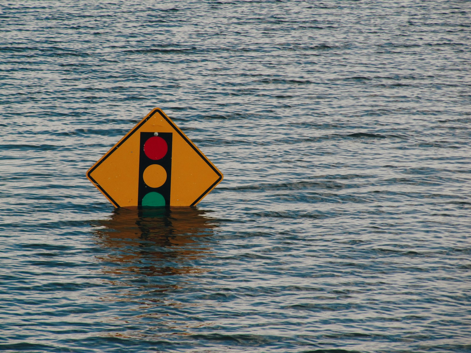
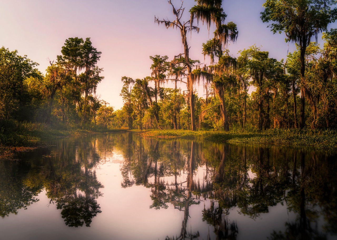
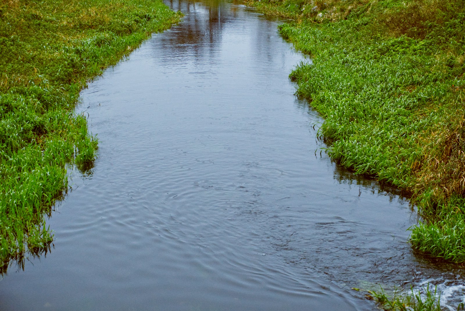
After a deadly storm system brought torrential rains, large hail, and tornado warnings to much of the South this week, parts of Texas, Louisiana, and Mississippi are once again under water. The system has drenched an already saturated region with several more inches of rain, triggering flash flood emergencies and leaving river gauges across multiple states well above flood stage.
Not in Kansas anymore? Tornado Alley Is Expanding South Into These Cities
Dying for air? Climate Activism Is Turning Deadly In These Cities
In Texas, the city of Brenham is mourning the death of a 10-year-old girl, swept away by fast-rising floodwaters Monday. The tragedy underscores the growing severity of this spring’s storms, which continue to march eastward toward the Gulf Coast with forecasts of more rainfall through Thursday. Forecasters warn that a stalled cold front could dump five additional inches of rain in some areas already overwhelmed by water.
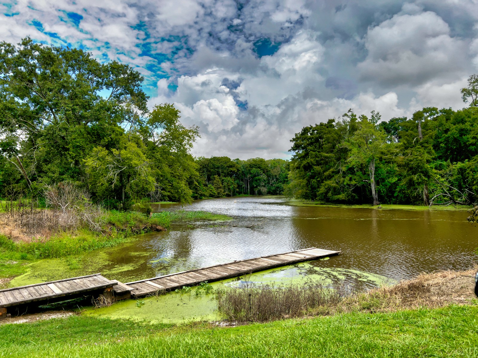
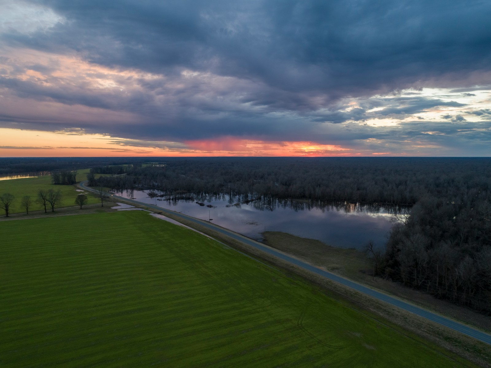
While short term rainfall may end within a few days, riverine flooding is likely to linger. In some cities, current water levels are more than five feet above flooding thresholds, and are forecast to stay inundated for weeks. A closer look at data from the NOAA’s Office of Water Prediction reveals the cities where flooding is the worst right now.
To determine the cities where flooding is most severe, Climate Crisis 247 reviewed data on flood inundation from the NOAA’s Office of Water Prediction. Waterbody monitoring stations were ranked based on the difference between observed water levels on May 7, 2025 and defined flooding thresholds. Waterbody monitoring stations were matched to cities using Census Bureau boundary definitions. Only cities with at least 2,500 residents were considered.
20. Morgan City, LA (Atchafalaya River)
- Water level: 6.9 feet (+0.9 feet above flooding threshold)
- Flooding threshold: 6.0 feet
- City population: 11,373
19. Ville Platte, LA (Bayou Cocodrie)
- Water level: 33.0 feet (+1.0 feet above flooding threshold)
- Flooding threshold: 32.0 feet
- City population: 6,364
18. Hartford, CT (Connecticut River)
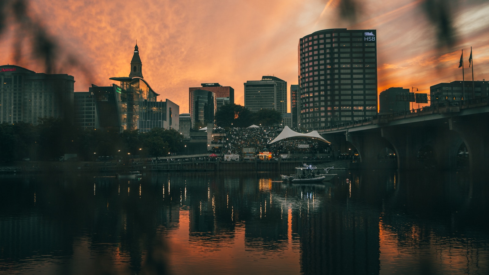
- Water level: 17.0 feet (+1.0 feet above flooding threshold)
- Flooding threshold: 16.0 feet
- City population: 121,057
17. Sulphur, LA (Choupique Bayou)
- Water level: 6.1 feet (+1.1 feet above flooding threshold)
- Flooding threshold: 5.0 feet
- City population: 21,286
16. Lake Charles, LA (Calcasieu River)
- Water level: 3.2 feet (+1.2 feet above flooding threshold)
- Flooding threshold: 2.0 feet
- City population: 82,430
15. Springhill, LA (Bayou Dorcheat)
- Water level: 12.3 feet (+1.3 feet above flooding threshold)
- Flooding threshold: 11.0 feet
- City population: 4,740
14. Gainesville, TX (Red River)

- Water level: 26.3 feet (+1.3 feet above flooding threshold)
- Flooding threshold: 25.0 feet
- City population: 17,459
13. Greenville, TX (Cowleech Fork Sabine River)

- Water level: 15.3 feet (+1.3 feet above flooding threshold)
- Flooding threshold: 14.0 feet
- City population: 28,923
12. Okmulgee, OK (Deep Fork River)
- Water level: 19.5 feet (+1.4 feet above flooding threshold)
- Flooding threshold: 18.0 feet
- City population: 11,366
11. Diboll, TX (Neches River)

- Water level: 13.6 feet (+1.6 feet above flooding threshold)
- Flooding threshold: 12.0 feet
- City population: 4,546
10. Yazoo City, MS (Yazoo River)
- Water level: 30.7 feet (+1.7 feet above flooding threshold)
- Flooding threshold: 29.0 feet
- City population: 10,573
9. Carlyle, IL (Kaskaskia River)
- Water level: 18.2 feet (+1.7 feet above flooding threshold)
- Flooding threshold: 16.5 feet
- City population: 3,252
8. Skowhegan, ME (Kennebec River)

- Water level: 17.0 feet (+2.0 feet above flooding threshold)
- Flooding threshold: 15.0 feet
- City population: 6,270
7. Kilgore, TX (Rabbit Creek)
- Water level: 12.2 feet (+2.2 feet above flooding threshold)
- Flooding threshold: 10.0 feet
- City population: 13,400
6. Lafayette, LA (Vermilion River)
- Water level: 12.3 feet (+2.3 feet above flooding threshold)
- Flooding threshold: 10.0 feet
- City population: 121,706
5. Mineola, TX (Sabine River)

- Water level: 16.3 feet (+2.3 feet above flooding threshold)
- Flooding threshold: 14.0 feet
- City population: 4,879
4. Donaldsonville, LA (Mississippi River)
- Water level: 29.6 feet (+2.6 feet above flooding threshold)
- Flooding threshold: 27.0 feet
- City population: 6,799
3. Dallas, TX (Trinity River)
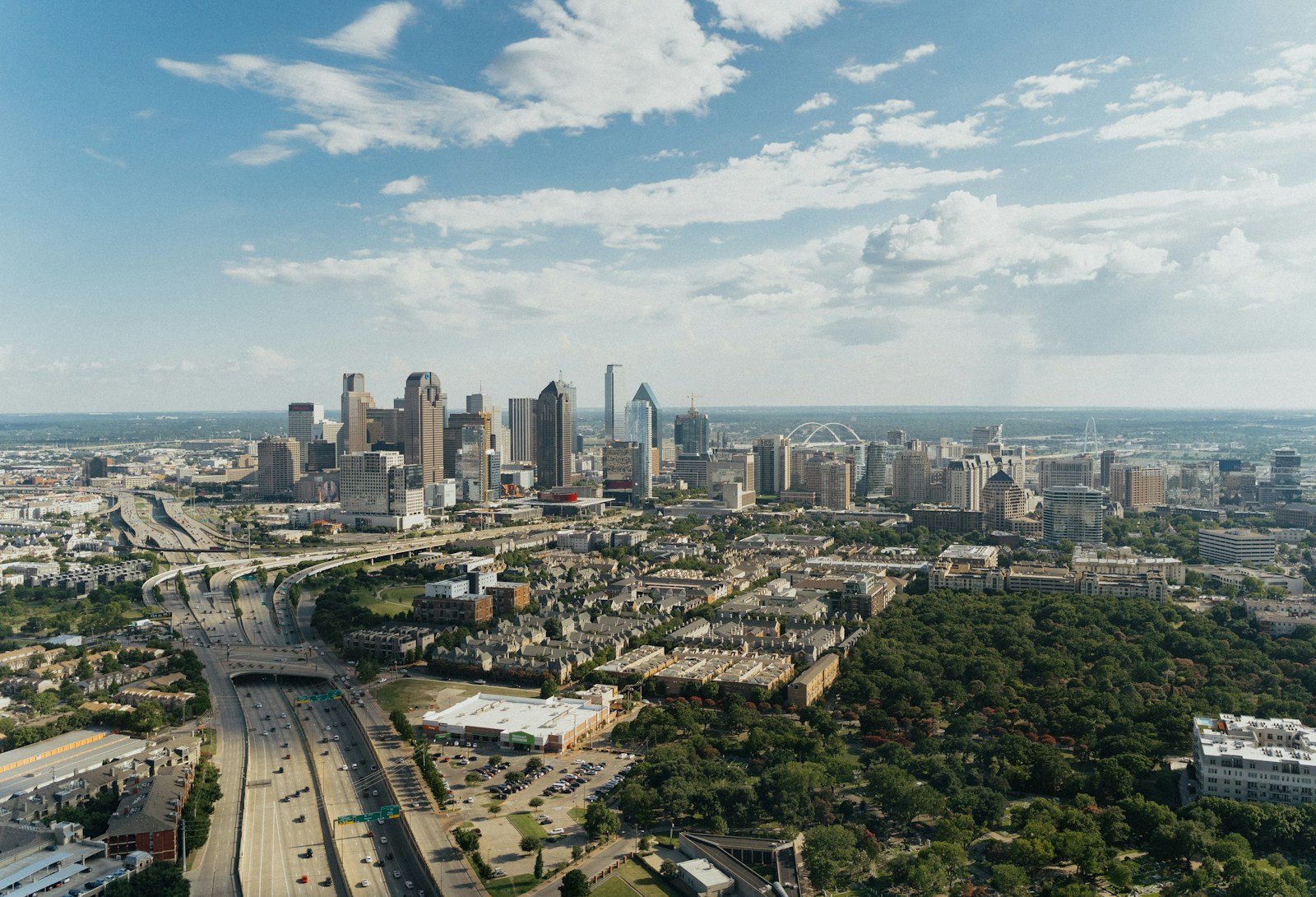
- Water level: 33.9 feet (+3.9 feet above flooding threshold)
- Flooding threshold: 30.0 feet
- City population: 1,300,642
2. Natchez, MS (Mississippi River)
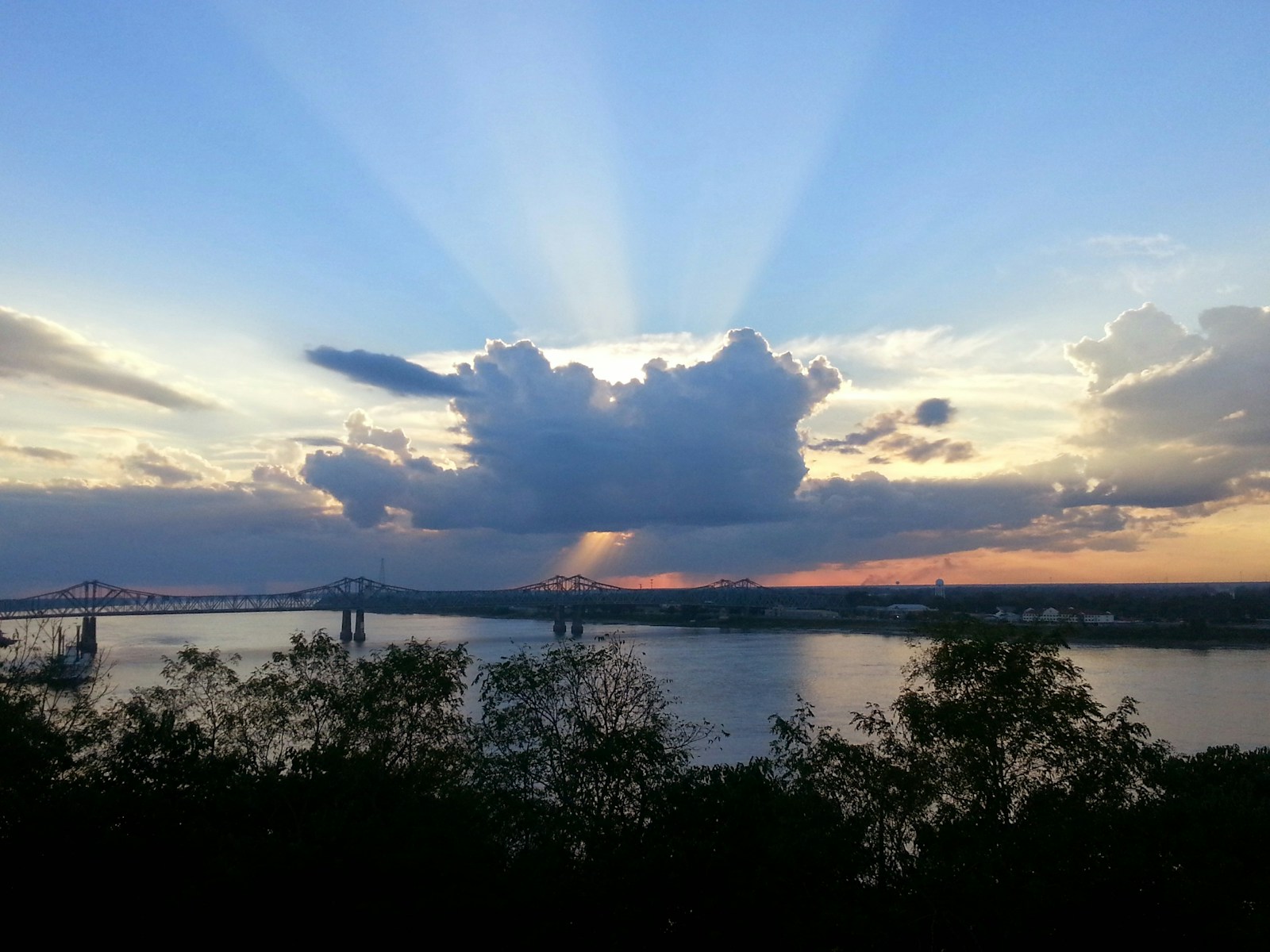
- Water level: 53.4 feet (+5.4 feet above flooding threshold)
- Flooding threshold: 48.0 feet
- City population: 14,380
1. Port Allen, LA (Mississippi River)

- Water level: 40.7 feet (+5.7 feet above flooding threshold)
- Flooding threshold: 35.0 feet
- City population: 4,956
More from ClimateCrisis 247
- Most Efficient EVs On The Market Today
- Twin Hailstorms Threaten to Disrupt Independence Day Plans in Northeast, Plains States
- Cities Where Air Quality Will Be Worst This Holiday Weekend
- These Places Experienced The Hottest Fourths of July in History