1 in 8 California Residents Face Dangerous Wildfires
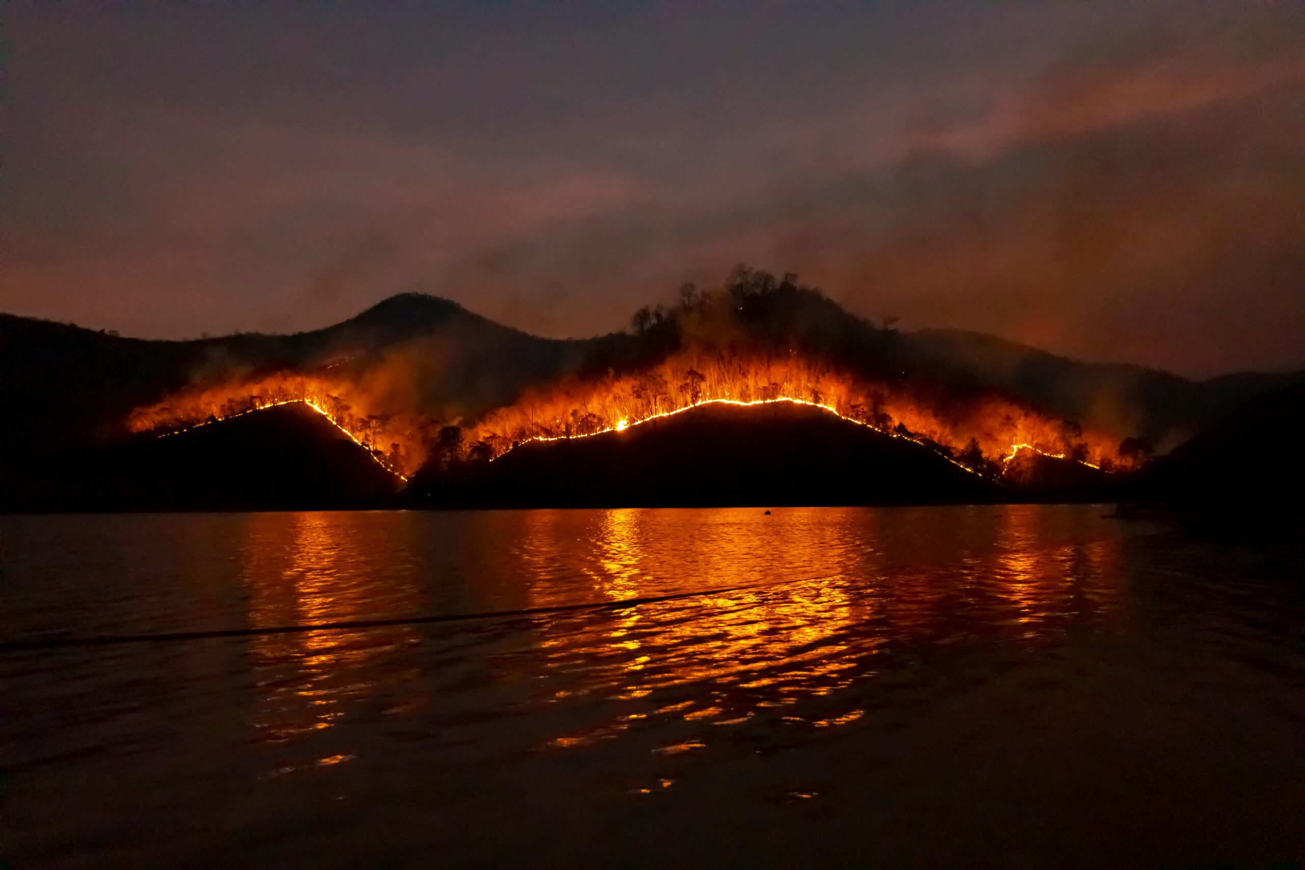
A new study by The Washington Post shows that 1 in 8 people who live in California are at risk of being hit by “devastating wildfires.” Part of the analysis comes from Cal Fire (California Department of Forestry and Fire Protection)
Even before the Post’s analysis, Cal Fire’s data shows that there have been 578 wildfires this year. These have burned 58,108 acres, killed 29 people, and destroyed 16,251 buildings.
The prediction is based on high temperatures, drought, and the huge forests and fields across the state. Another factor is that “embers can travel miles.”
Pacific Coast Map
The map shows fire risk almost the entire length of the Pacific Coast. The risk map shows areas further inland from San Francisco, Los Angeles, and San Diego. The mountains inland are not on the map. The southeastern part of the state is also relatively “safe.”
One of the most troubling parts of the map is a fire risk in most areas immediately adjacent to the population centers of LA, SF, and San Diego. The LA wildfires burned into dense population areas, and the map shows this could happen again.
The cost of the LA wildfires was estimated to be as high as $50 billion. Many of the losses were uninsured or not covered, which will also be true of future fires.
More from ClimateCrisis 247
- Drought Cripples Colorado
- Places in Each State that Got the Most Snow on Christmas
- Frigid New Year’s Eve Temperatures Descend on Florida
- Miami’s $5 Billion Flood Protection