New York Faces Excessive Rain And Damage

According to The New York Times Extreme Weather Map, the area along the 1-95 corridor from South Carolina To Maine faces a moderate risk of excessive rain. These are areas that face an “enhanced” risk of severe storms.
These storms pose several economic threats. The first is the disruption of transportation, usually air travel. The cost to carriers can be very modest. However, the airlines face passenger costs when hundreds of flights are delayed.
More New York News –Tornadoes Hammer Upstate
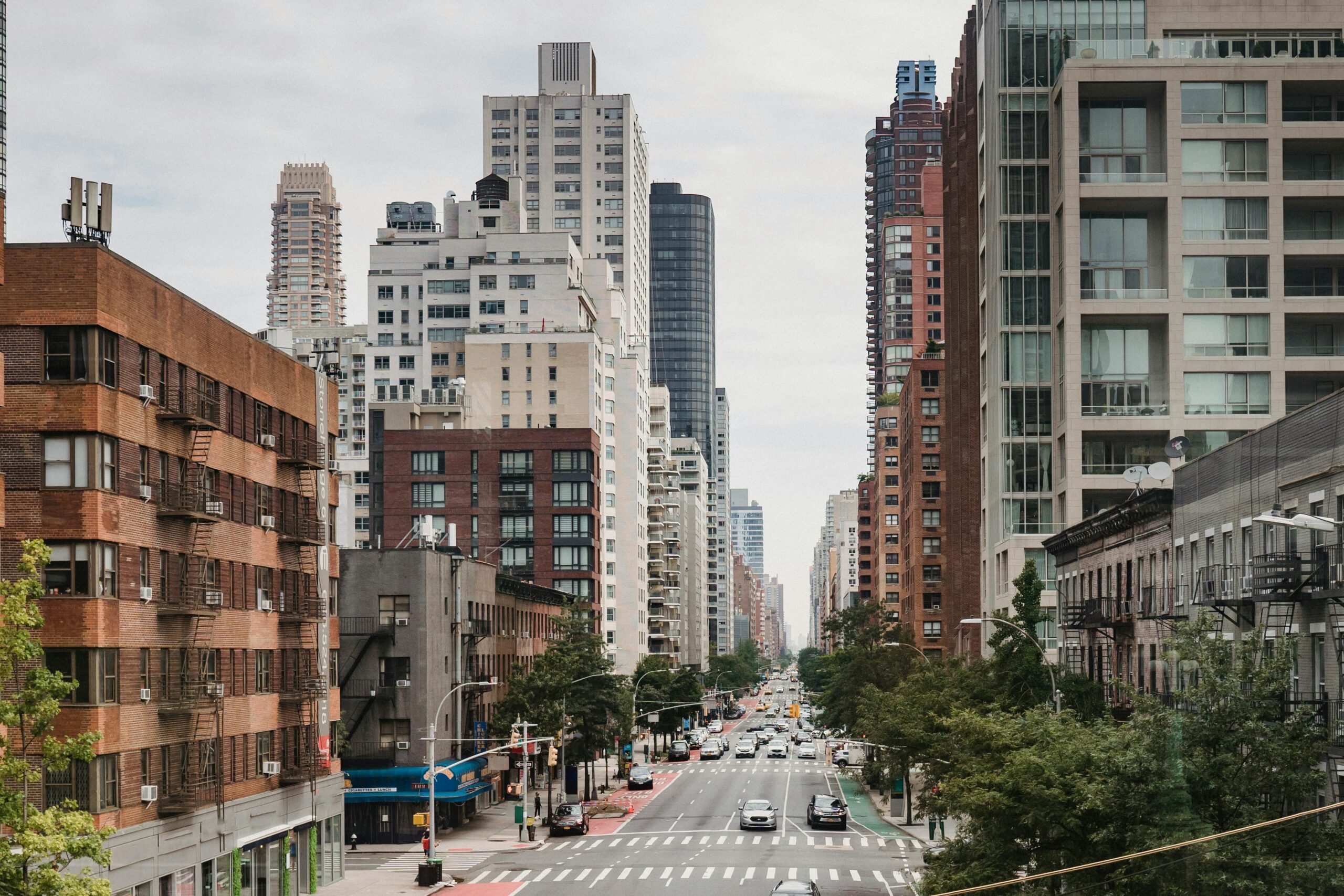
Flooding is another significant risk. One example is New York City. Staten Island, Brooklyn, and the South Brooklyn waterfront, including Red Hook, Brighton Beach, and Howard Beach, face the most risk. In Queens, the Rockaways rate as the highest risk for evacuation. This often means home damage. Insurance rates in these areas are often higher than in the balance of the metro area.
Flood risk has become a significant problem in many areas along the Atlantic coast and the Gulf of Mexico. The most recent extreme example is Hurricane Beryl, which caused approximately $30 billion in damage. New York faces nothing of that magnitude this week. However, as Atlantic storms move north along the coast, America’s largest city may not be so fortunate.
Sponsor
Find a Vetted Financial Advisor
- Finding a fiduciary financial advisor doesn't have to be hard. SmartAsset's free tool matches you with up to 3 financial advisors that serve your area in 5 minutes.
- Each advisor has been vetted by SmartAsset and is held to a fiduciary standard to act in your best interests. Get on the path toward achieving your financial goals!


