Where Are America’s Climate Safe Havens? We have the List

In 2021, author Parag Khanna wrote in his book “Move: The Forces Uprooting Us” that the Upper Midwest, particularly Michigan, would become the safest place in the world to live based on climate safety. He argued that many parts of the world would no longer be habitable, and “People are going to resort themselves, they’re going to revitalize towns and cities, and that is most definitely going to benefit a state like Michigan.”
Given that people had been leaving Michigan for years, mostly heading south, this prediction was surprising. However, Khanna’s argument centered on the fact that climate disasters affecting most places rarely hit Michigan. These include hurricanes, floods, wildfires, hail, extreme heat, and even deep freezes. Michigan has ample land, fresh water, numerous farms, and several relatively large cities.
Climate Crisis 247 determined that climate safe havens in the US must include more than just Michigan. We examined data from the 21st century across several sources to identify qualifying locations. Our analysis drew primarily from FEMA disaster declarations (2000–2025), NOAA’s billion-dollar disaster database (1980–2024, with a 21st-century focus), Climate Central, Realtordotcom, World Atlas, and various analyses of climate vulnerability and resilience. Key factors for identifying the “fewest” disasters included low exposure to hurricanes and tropical cyclones, wildfires, extreme coastal flooding, and prolonged droughts.
It’s worth noting that even many of the “safest places” have experienced major disasters. Vermont, which appears on our list, was hit by extreme floods in 2023. According to Yale Environment 360, “The floods of July 2023 put Montpelier’s downtown mostly underwater and washed out bridges and businesses in dozens of towns across the state. In the summer of 2024, three flooding events struck half of Vermont’s 14 counties. This one-two punch has opened the eyes of Vermonters to the scale of the threat they face.” Wisconsin also appears on our list, yet ClimateCheck recently reported that based on its climate outlook for the next 25 years, “People in Wisconsin will experience especially increased risks from precipitation, heat, and drought due to climate change over the next 30 years. These risks, through 2050 and beyond, may change depending on how much we reduce emissions in the near future.”
The places in the US with the fewest climate-related disasters in the 21st century are generally located in the Northeast (particularly New England), the Upper Midwest/Great Lakes region, and parts of the Northern Plains, including Iowa and Nebraska. These areas have experienced significantly fewer billion-dollar weather and climate events—including hurricanes, major floods, droughts, wildfires, and severe storms—compared to high-risk zones like the Southeast, Gulf Coast, California, and Texas.
These states rank among the lowest for declared disasters and billion-dollar events:
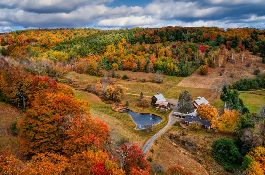
Vermont — One of the lowest overall risk states with very few major events (mostly occasional flooding or winter storms). Often ranked #1 safest from climate impacts in resilience studies due to minimal hurricanes, wildfires, extreme heat, or sea-level threats. The historic flooding in 2023 was an exception to this pattern.
New Hampshire — Similar to Vermont with low disaster declarations and no hurricanes or major wildfires historically. Its inland location and cooler climate reduce heat and drought risks.
Maine — Frequently cited as one of the safest states with few billion-dollar disaster events per NOAA and Climate Central, low hurricane exposure (mostly nor’easters), and minimal wildfire or drought activity.
Michigan — Among the lowest for total declared disasters (only 14 since 2004 in some counts). The Great Lakes moderate extremes; hurricanes and tornadoes are rare, with no major wildfires or coastal flooding.
Minnesota — Low overall risk with occasional severe storms or floods, but far fewer than southern or western states. While cold winters can drive temperatures below zero, heat, drought, and wildfire exposure remain low.
Wisconsin — Similar Great Lakes protection provides low hurricane and wildfire risk, with fewer billion-dollar events than most states based on NOAA data.
Illinois (particularly northern and central parts) — Moderate risk, but lower than coastal and southern states; some tornadoes and floods occur but are not as frequent or severe.
Cities with Notably Low Exposure
Burlington, VT and surrounding areas — Often mentioned as highly resilient (low heat, no hurricanes or wildfires).
Upper Peninsula of Michigan and Grand Rapids area — The inland Great Lakes buffer extremes. Grand Rapids is Michigan’s second-largest city after Detroit.
Portland, ME and Concord, NH — Coastal but far north with minimal tropical cyclone impact. The cities are 85 miles apart.
Spokane, WA and Boise, ID — Sometimes mentioned for lower overall risk (inland, moderate events), though wildfire potential exists in the West. The cities are 400 miles apart, demonstrating a large area in this part of the US considered relatively “safe.”