Six American Cities Facing Billion Dollar Flood Losses
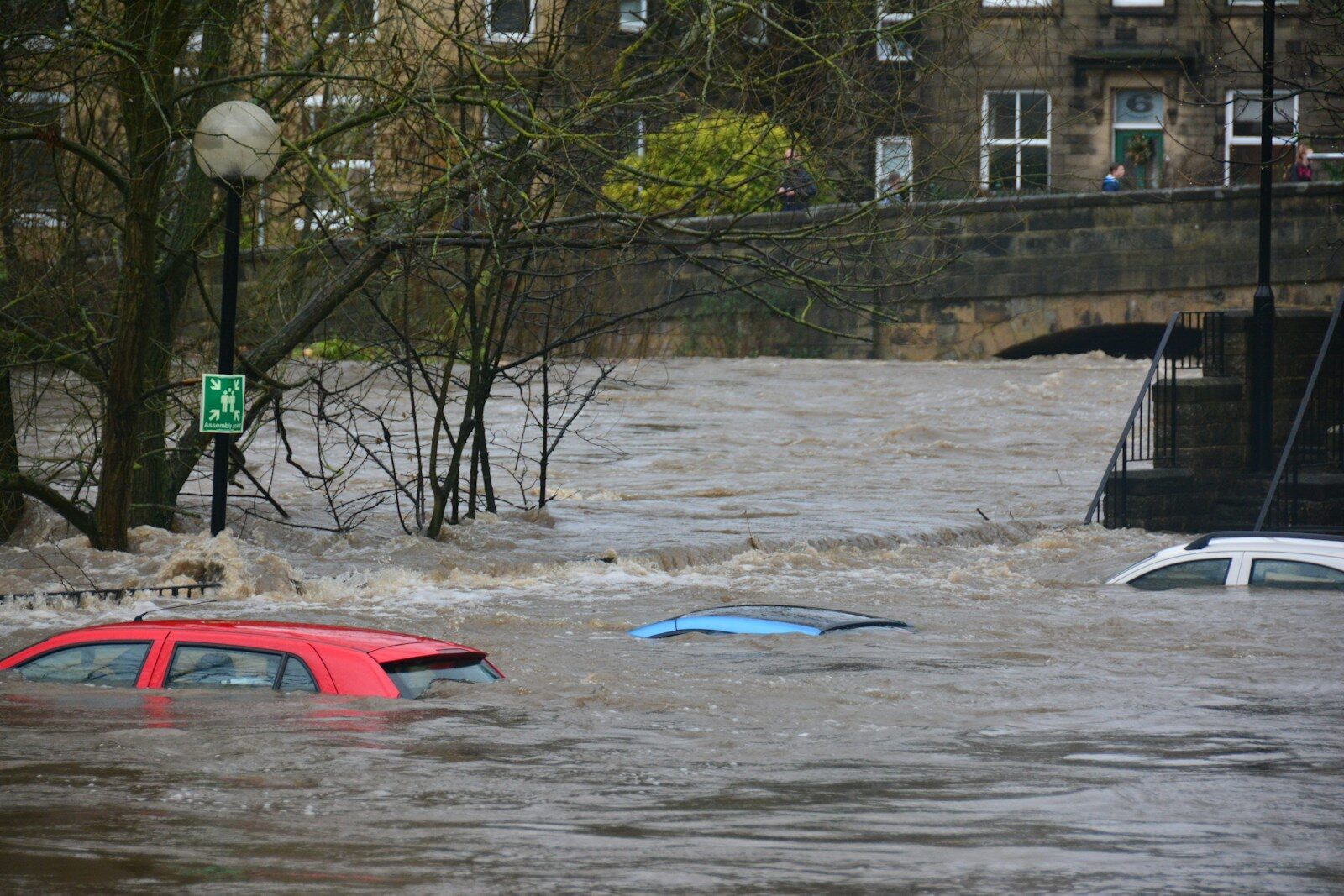
A nor’easter moved up the coast and lingered near New York for two days, flooding parts of the coast from New Jersey to Boston. One home was hit by 15-foot waves. The storm is a reminder that global warming is causing the oceans to rise, and that the heat warming the Atlantic also feeds storms with more energy.
We wanted to estimate how much storm damage to residential property will increase between now and 2050.
There are several ways to measure the financial risk of flooding to homes and businesses, but most involve two components: the number of buildings affected and the dollar value of the damage.
One of the best estimates of residential risk comes from the property data firm Cotality. Its most recent analysis, the 2026 Risk Report, concludes that 32 million homes in America’s largest cities face moderate to severe hurricane risk. Replacing every damaged home would cost $2.1 trillion.
We used the report’s current property values to project what those figures would be in 2050. To build our model, we adjusted for regional inflation. Inflation-adjusted growth in coastal home values is 1.5% per year in Florida and Texas, but only 0.75% in the New York region. It is barely rising at all in New Orleans.
Next, we looked at how often hurricanes strike each city. Using National Hurricane Center data, we counted how often each city has been hit by a major hurricane (Category 3, 4, or 5). Miami leads by a wide margin, with 13 major hurricanes since 1900, or roughly one every 10 years. New Orleans is hit about once every 18 years, and Houston about once every 21. These estimates vary depending on how close a storm must pass to count as a hit and how storms are classified (tropical storm, hurricane, or hurricane category). We counted only major storms.
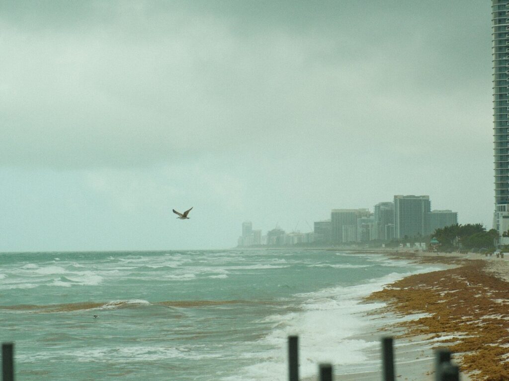
We also considered the share of homes at risk in each market, using figures from Cotality, and how fast the sea is rising, which determines how much of a city could flood over the long term. For sea levels forecasts, we used NOAA projections for the entire US coastline.
We assumed that storms will grow stronger, adding 10% to wind speeds between 2025 and 2050.
To estimate the effect of rising seas, we reviewed several studies. The most prominent was “Economic damages from Hurricane Sandy attributable to sea level rise caused by anthropogenic climate change,” published in Nature. It found that 13% of Sandy’s damage resulted from a sea-level rise of just a few inches. Based on that finding, we estimated that each additional foot of sea-level rise would increase damage by 45% by 2050.
These figures cover only residential property, so total economic damage would be much higher than our estimates.
Miami would see by far the largest increase in dollar losses, largely because it starts with the highest baseline.
Estimated average annual residential losses (in today’s dollars)
| Rank | Metro | Today | 2050 | Change |
|---|---|---|---|---|
| 1 | Miami | $1.7B | $3.8B | 2.3x |
| 2 | New Orleans | $0.7B | $1.4B | 2.1x |
| 3 | New York | $0.6B | $1.1B | 1.9x |
| 4 | Houston | $0.4B | $1.0B | 2.6x |
| 5 | Tampa | $0.3B | $0.6B | 2.4x |
| 6 | Virginia Beach–Norfolk | $0.3B | $0.5B | 2.0x |
More from ClimateCrisis 247
- Tips on How Americans Can Save 25% On Gas
- Summer 2026 Ended with Freezing Temperatures in These 10 States
- By 2100, US Cities Where 100 Degree Temperatures Will Hit Daily in Summer
- The Worst Nor’easters in US History