A Comeback For Hurricane Tracking
The NOAA distributes satellite data which can be useful in tracking hurricanes. That, in turn, allows weather experts to forecast the future paths of these big storms. The Trump Administration was going to cut that off today.
The New York Times has gotten several sources who say that satellite data free distribution will not be discontinued. There is an argument to be made that this information can be taken from other satellites, but it is not that easy. Most satellites operate for specific commercial, military, or proprietary data accumulation. The owners of these may not be willing to part with their data. And, the great majority of satellites do not track weather at all
Even with modern tools like AI, hurricane and other storm tracing still needs based research and information. AI cannot analyze data it does not have.
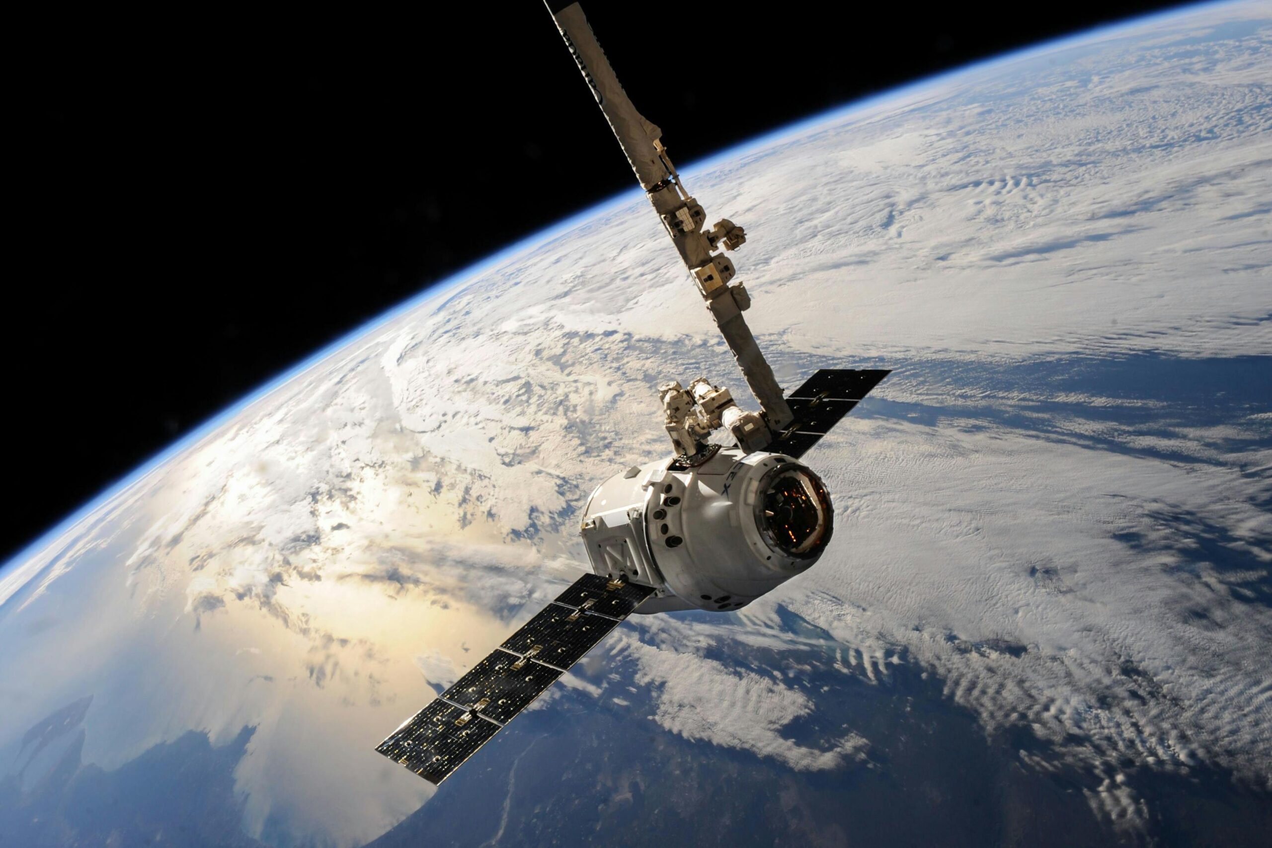
The Role Of Satellites
Hurricanes have become stronger and more violent. One of the great challenges is that warming water in the south Atlantic, Caribbean, and Gulf of Mexico (America) means storms can change from minor hurricanes to Category 4 or Category 5 in a single day. The threat of those storms is exponentially higher
Tracking of Hurricane Milton also shows the value of instant satellite information. The storm was forecast to hit Tampa, but turned south and hit areas 30 miles future south hard. With no warming, those cities and towns would not have information to prepare, even though that information was only available hours before the storm made landfall.
Without the NOAA, many forecasters and researchers would be flying blind.