Drones And Satellites Fight Wildfires
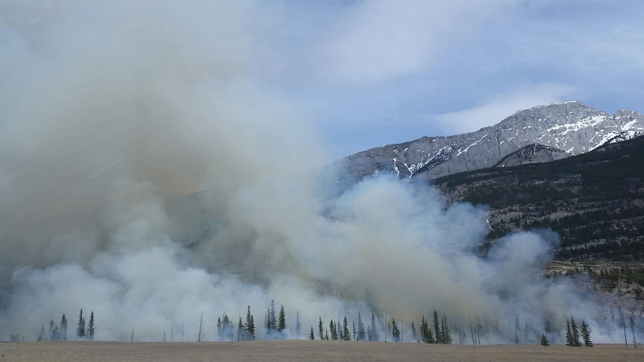
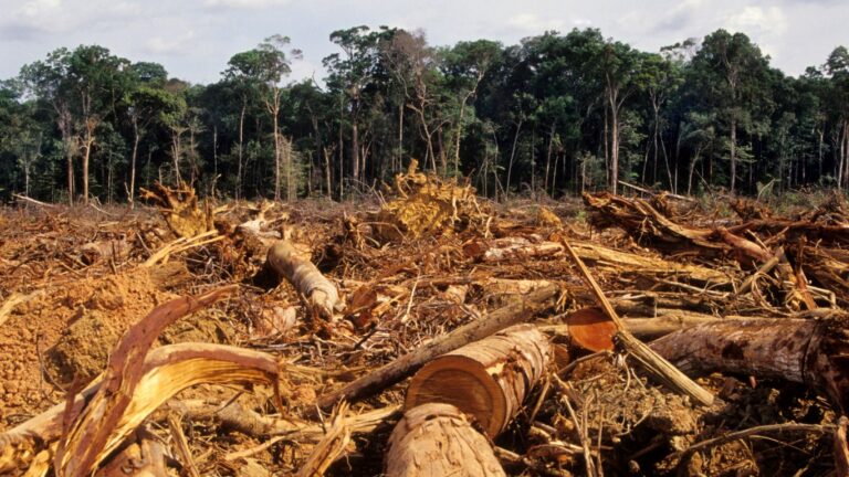
As the largest wildfires of the year burn in Oregon and the Grand Canyon, the US is cutting back its firefighting army. That leaves the task to state and local firefighters who often don’t have the tools and budgets to do a complete job. They have new age tools to help them. Satellites and drones have become a part of the firefighting arsenal.
Fortunately, the government plan to cut the use of military satellite data for weather forecasting was reversed recently. The federal government appears to be taking a wider view of the tools needed to fight a growing number of huge wildfires which endanger massive tracts of land, businesses, homes and people. The spread of these can be spotted from miles high. The information can be transmitted to the people on the ground.
Humans Grounded
Just as important are drones which can get a closer view of the catastrophes. Likely, larger models will be able to move water and fire retardant to the most dangerous sections of the fires.That means it is less likely that the people who fly planes and helicopters to douse fires may be able to remain on the ground. And, drones can be slow moving, which gives them a measure of accuracy.
As climate change makes dangerous weather events more likely, science may be the primary tool to fight them.