El Niño Hits California; What to watch For in the weather
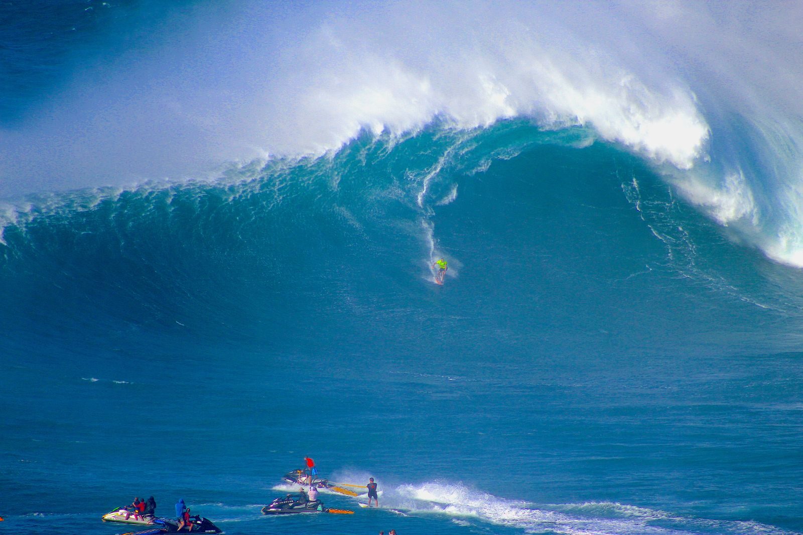
A very strong El Niño and a record-warm Pacific Ocean have sent waves of violent weather into parts of Northern and Central California over the past week. One of the strongest so far reached Northern California on Tuesday night and may last until late Thursday. Long-range forecasts say Southern California will be hit as well, though forecasts this far ahead are right only about half the time. All figures are current as of November 18.
Extreme weather like this is rarely, if ever, seen in the region at this time of year.
Waves up to 55 feet
Individual waves of 40 to 55 feet are expected to reach the Northern California coast today and continue for 24 hours. Most of the day will bring waves of about 20 feet, with higher swells. Surf advisories are in effect across much of the Southern California coast.
Wind gusts up to 70 mph
The National Weather Service has issued a high wind warning for the East Bay hills, about 30 miles from San Francisco, where gusts of up to 70 mph are forecast. Gusts could reach 50 mph on the Bay Area coast, 55 mph in the Sacramento Valley, and 60 mph in the Sierra.
Up to 5 inches of rain
The Santa Cruz Mountains and Santa Lucia Range could see as much as 5 inches. Big Sur could get up to 4 inches, the North Bay more than 3, and the rest of the Bay Area more than 2.
Flash flood watches on fresh burn scars
The Oregon Department of Emergency Management defines a burn scar as an area of land affected by wildfire, where vegetation has been removed and soil properties may have changed. Dry, burned soil cannot absorb heavy rain. Watches cover land near Calistoga burned by the Pickett Fire and near Big Sur burned by the Plaskett Fire this past summer.

Coastal flooding
A coastal flood advisory went into effect yesterday and will last 48 hours.
Sea levels 12 to 18 inches above normal
According to climate scientist Daniel Swain, about 12 inches of that rise comes from warm seawater expanding. The higher water lets storm waves push farther inland.
Record-warm ocean
Water at the Farallon Islands, among the coldest on this stretch of the California coast, is above 66°F, which is estimated to be a record for early November. Warm water fuels ocean storms and hurricanes.
Up to 5 feet of Sierra snow
A winter storm warning runs through tomorrow. Areas above 5,000 feet could get 2 to 4 feet, and the highest peaks could see up to 5 feet.
Travel and power disruptions
Westbound I-80 traffic was stopped in parts of Truckee, and Highways 50, 88, and 89 could see interruptions from rain or flooding.
A cold snap after a warm month
Colder air will arrive from the Pacific late in the week. Southern California may see its coolest weather of the season, with lows in the 40s. So far, November temperatures have been warmer than in most years.
Southern California is next
The storm reaches Southern California today. Parts of the L.A. Basin could see 3 inches of rain, and the mountains to the east could get up to 8 inches of snow.
AccuWeather reports that heavy snow could “snarl” traffic in parts of California and that a late-season tropical storm is possible along the coast. It forecasts multiple storms hitting the Pacific Coast, with flooding rain, heavy snow, and high winds concentrated on Northern California during the busy Thanksgiving travel week.
More from ClimateCrisis 247
- Shade is Scarce in America’s Hottest Cities
- Best Selling EVs So Far This Year
- How Wildfire Litigation Became Big Business in America
- These Types of Weather Disasters In The US Totaled $2.9 Trillion from 1980 to 2024