Extreme Drought Triggers Wildfire Risk Across Florida
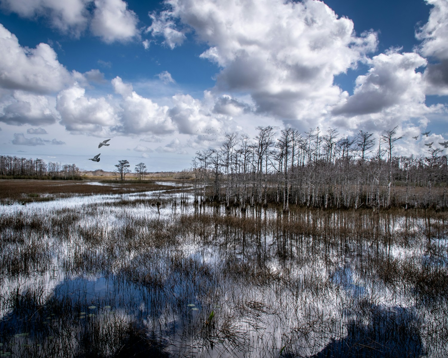
A historic drought is impacting much of the state of Florida. Beyond conditions considered abnormally dry, the U.S. Drought Monitor has four drought classifications: moderate drought, severe drought, extreme drought, and exceptional drought. According to the latest USDM data, an extreme drought is currently spread across nearly 38,000 square miles of Florida, or about 67% of land area in the state. Extreme drought conditions have not been this widespread in Florida since record keeping began over a quarter-century ago.
The sustained drought has triggered water shortage declarations across large swaths of the state where unnecessary water use is now prohibited. Residents and businesses in these areas have also been encouraged to voluntarily reduce water usage to prevent mandatory restrictions. But the most immediate and potentially destructive threat posed by the drought is wildfire.
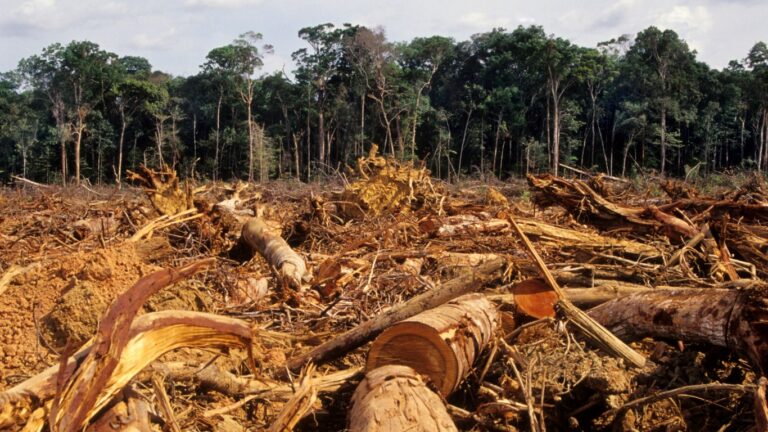
The prolonged lack of precipitation has significantly increased the risk of wildfires across much of Florida. According to the Florida Forest Service, dozens of counties across the state have issued burn bans, and as of Feb. 24, 2026, 18 counties were determined to have a high level of fire danger. Recently, a wildfire in Florida’s Big Cypress National Preserve, which was fueled largely by dry conditions, expanded from 1,000 acres to more than 25,000 acres in a single night.
The longer the extreme drought continues, the greater the risk of wildfires – a hazard many parts of Florida are all too familiar with. In 1998, similarly dry conditions led to a firestorm that resulted in damages of over $300 million, and the destruction of more than 150 homes in Brevard County alone.
Using data from the U.S. Drought Monitor, Climate Crisis 247 identified the Florida counties where the most people are exposed to extreme drought conditions. We ranked all counties in the state on the number of residents living in areas identified as having an extreme drought, and listed the top 10. All drought data are current as of mid-February. Data on land area in extreme drought is also from the USDM. Supplemental data on fire danger risk as of Feb. 24, 2026 is from the Florida Department of Agriculture and Consumer Services and data on standing burn bans is from the Florida Forest Service. Additional data on past fires in each county is as reported by the National Interagency Fire Center.
Across the 10 counties on this list alone, nearly 6.2 million Floridians are living in areas having an extreme drought. Each of these counties have also suffered through large wildfires in past years, some of which burned across tens of thousands of acres.
10. Saint Lucie County, Florida
- Population in extreme drought: 277,789 people
- Land area in extreme drought: approx. 576 square miles (100% of land area)
- Current fire danger risk level: High
- Burn ban in effect?: Yes
- Past local wildfires include: Long Bay Fire of May 2024 (594 acres burned)
9. Manatee County, Florida
- Population in extreme drought: 322,833 people
- Land area in extreme drought: approx. 755 square miles (100% of land area)
- Current fire danger risk level: High
- Burn ban in effect?: Yes
- Past local wildfires include: North Power Line Trail Fire of May 2025 (450 acres burned)
8. Marion County, Florida
- Population in extreme drought: 328,721 people
- Land area in extreme drought: approx. 1,653 square miles (99% of land area)
- Current fire danger risk level: Moderate
- Burn ban in effect?: Yes
- Past local wildfires include: Juniper Springs Fire of March 2009 (10,022 acres burned)

7. Sarasota County, Florida
- Population in extreme drought: 379,448 people
- Land area in extreme drought: approx. 582 square miles (100% of land area)
- Current fire danger risk level: High
- Burn ban in effect?: Yes
- Past local wildfires include: Bee Island Fire of April 2025 (706 acres burned)
6. Pinellas County, Florida
- Population in extreme drought: 402,994 people
- Land area in extreme drought: approx. 128 square miles (44% of land area)
- Current fire danger risk level: Moderate
- Burn ban in effect?: No
- Past local wildfires include: Keystone Bike Trail Fire of August 2020 (102 acres burned)
5. Hillsborough County, Florida
- Population in extreme drought: 512,755 people
- Land area in extreme drought: approx. 444 square miles (42% of land area)
- Current fire danger risk level: Moderate
- Burn ban in effect?: Yes
- Past local wildfires include: New Wales Fire of April 2024 (1,500 acres burned)
4. Broward County, Florida
- Population in extreme drought: 691,290 people
- Land area in extreme drought: approx. 484 square miles (40% of land area)
- Current fire danger risk level: High
- Burn ban in effect?: No
- Past local wildfires include: State Fire of April 1999 (158,000 acres burned)
3. Palm Beach County, Florida
- Population in extreme drought: 777,083 people
- Land area in extreme drought: approx. 1,302 square miles (59% of land area)
- Current fire danger risk level: High
- Burn ban in effect?: Yes
- Past local wildfires include: 13 Mile Fire of July 2025 (13,000 acres burned)
2. Duval County, Florida
- Population in extreme drought: 864,263 people
- Land area in extreme drought: approx. 756 square miles (100% of land area)
- Current fire danger risk level: Moderate
- Burn ban in effect?: No
- Past local wildfires include: Yellow Bluff Fire of May 2019 (554 acres burned)
1. Miami-Dade County, Florida
- Population in extreme drought: 1,640,618 people
- Land area in extreme drought: approx. 1,304 square miles (66% of land area)
- Current fire danger risk level: High
- Burn ban in effect?: No
- Past local wildfires include: DOF Prairie Fire of June 2011 (68,295 acres burned)