The 10 US Cities With Most Rain In The 21st Century
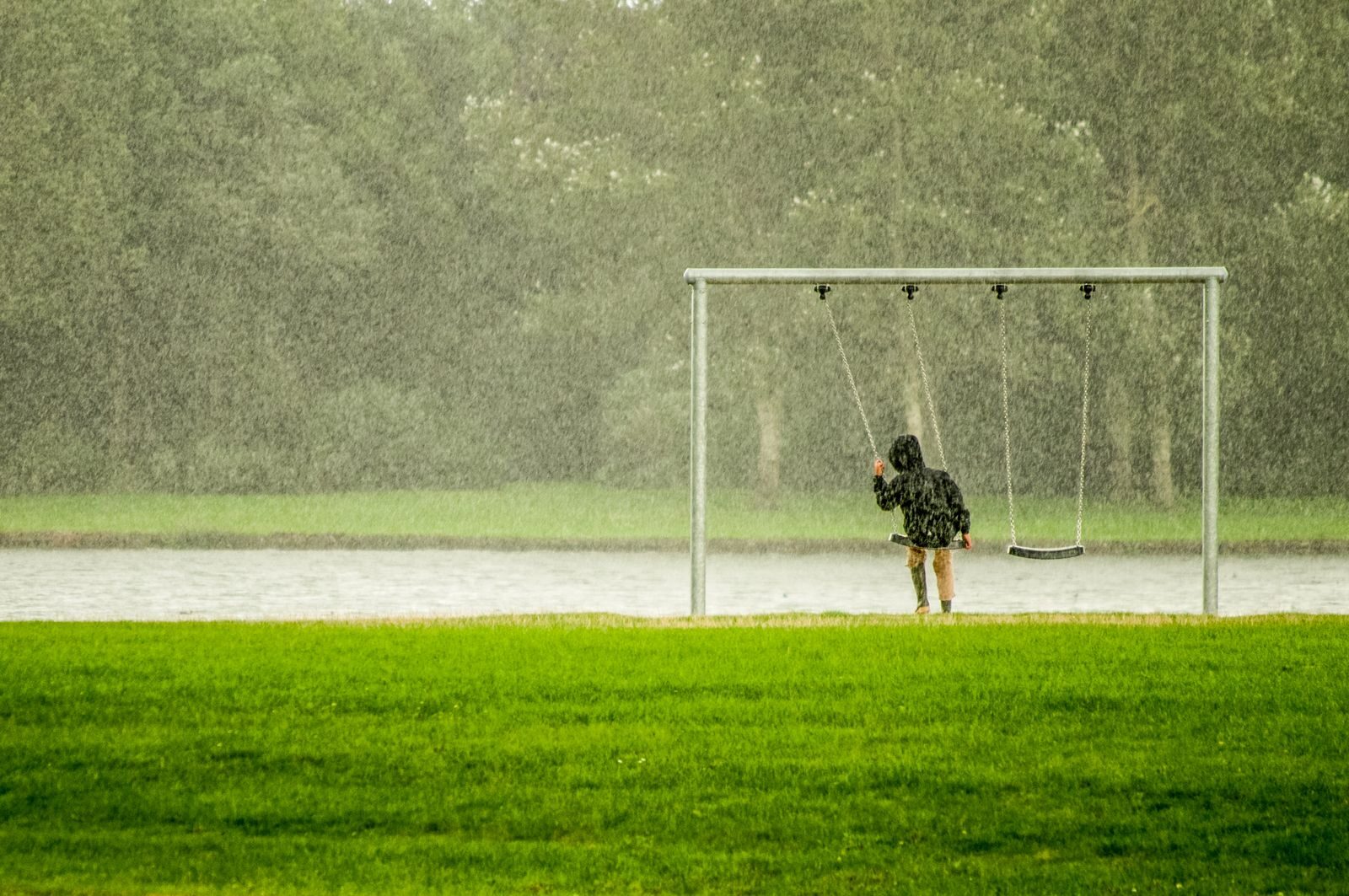
Floods have become among the most dangerous weather events, not just in the US but around the world. In just the last week, flash floods hit much of the New York City area. Streets in the world’s largest city were underwater, and rescue workers spent hours crossing parts of the city to help stranded people. Last July, the Guadalupe River rose 20 feet after heavy rain, and the flash floods that followed killed 120 people. In that Texas event, dry ground made it impossible for the soil to absorb rain quickly. As Vanity Fair reports, “An entire summer’s worth of rain poured over the South Fork of the Guadalupe and kept dumping on drought-parched soil.”
Over the course of the 21st century, several large cities have received enough rain to be measured in hundreds of feet rather than inches. Miami’s 21st-century total is almost 150 feet.
Most of the cities on this list fall into distinct groups, based either on geography or on shared weather patterns. Most are in Florida and along the Gulf Coast — also a primary region for hurricane damage and deaths.
Miami, Fort Lauderdale, Orlando
Florida is a peninsula bordered by large bodies of water on both sides: the Atlantic Ocean and the Gulf of Mexico. On many days during the hottest months, winds from these two bodies of water push moist air inland. Where these opposing winds meet near the center of the state, they force warm, moist air upward — a process that fuels the thunderstorms that occur intermittently throughout the year. According to Spectrum 13, “Florida has the greatest number of thunderstorms in the U.S.: We average over 70 thunderstorm days per year, with the Gulf Coast experiencing more than 80, even 100 days a year.”
Florida also sits along a path frequently traveled by hurricanes. In 2022, Hurricane Ian dropped over a foot of rain across much of the state — not unusual for an extremely large hurricane. According to the National Weather Service, “Typical hurricanes are about 300 miles wide, although they can vary considerably in size.”
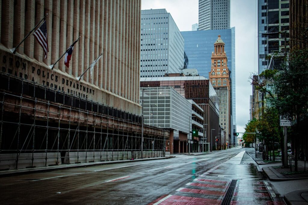
Mobile, New Orleans, Houston, and nearby Birmingham/Memphis
These cities sit along the Gulf, or inland where they’re still affected by its weather patterns. They’re often hit by hurricanes moving into the Gulf; for example, Hurricane Harvey dropped over 60 inches of rain on parts of Texas in 2017.
The Gulf’s surface water temperature can climb above 90°F, fueling both thunderstorm activity and rapid hurricane intensification, since hurricanes draw their strength from warm water. As NOAA explains, “The actual process begins with a cluster of thunderstorms moving across the surface of the ocean. When the surface water is warm, the storm sucks up heat energy from the water, just like a straw sucks up a liquid.” This same process can also make thunderstorms more powerful. During cooler months, winter frontal systems can stall over the Gulf Coast, causing several consecutive days of rain. WeatherBill’s ranking of America’s rainiest cities placed Mobile in first place.
Ketchikan and Hilo
Rainfall in these two cities is driven by orographic effects — the way physical terrain forces moving air upward, creating distinct patterns of rain on one side of a mountain and dry “shadow” on the other. As moist ocean air is pushed up against steep terrain and cools, heavy rainfall results on the windward slopes.
Ketchikan sits on the windward side of coastal mountains in the Alaska Panhandle, exposed to Pacific storm systems for much of the year. Hilo lies on the windward slope of Mauna Kea and Mauna Loa on Hawaii’s Big Island — and Hawaii’s windward coasts are among the wettest places on Earth.
ClimateCrisis247 drew on NOAA NCEI’s Global Historical Climatology Network-Daily dataset, NOAA, the National Weather Service, Weather.com, and AccuWeather, along with previous rankings of America’s rainiest cities.
Estimated total rainfall, 2000–2025 (annual average × 26 years)
| Rank | City | Avg in/yr | ~Total 2000–2025 |
|---|---|---|---|
| 1 | Ketchikan, AK | 149.5 | ~3,890 in (~324 ft) |
| 2 | Hilo, HI | 120.4 | ~3,130 in (~261 ft) |
| 3 | Fort Lauderdale, FL | 68.8 | ~1,790 in |
| 4 | Miami, FL | 67.4 | ~1,750 in |
| 5 | Mobile, AL | 67.1 | ~1,745 in |
| 6 | New Orleans, LA | 63.4 | ~1,650 in |
| 7 | Birmingham, AL | 56.6 | ~1,470 in |
| 8 | Houston, TX | 55.6 | ~1,445 in |
| 9 | Memphis, TN | 54.9 | ~1,430 in |
| 10 | Orlando, FL | 51.5 | ~1,340 in |
More from ClimateCrisis 247
- Is coal really making a comeback?
- States With the Deadliest Tornadoes Since 1950
- The Driest Places in America This Year
- Due to Low Sales, These Are The EVs That Disappeared This Year