10 US Rivers Now Flowing at Historic Lows
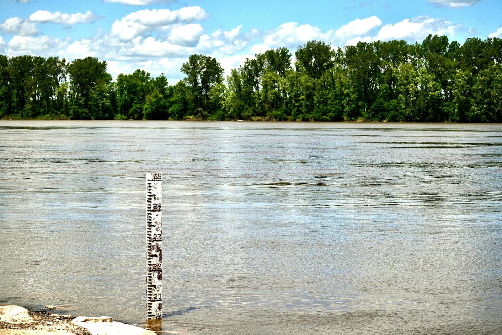
From the Texas Hill Country to the Arizona highlands and the central Great Plains, real-time streamflow data shows a growing number of waterways slowing to a trickle, with discharge measuring at historic lows.
In several locations, rivers that normally flow strong in spring are now barely moving. Some remain visibly wide while flowing at less than 1% of their typical seasonal volume. These low flows are often early signs of hydrological drought, with implications for drinking water supplies, agriculture, and ecosystems that rely on consistent river conditions.
Data from the U.S. Geological Survey shows dozens of observation stations across the United States reporting streamflow levels in the bottom 2% of their historical records. The majority are concentrated in drought-prone regions of the Southwest and south-central U.S., especially Texas, Kansas, Arizona, and Colorado. A closer look at the data reveals the places where water levels are near historic lows.
To determine where water is at historic lows right now, Climate Crisis 247 reviewed data on current streamflow observations from the U.S. Geological Survey. Stations were ranked based on the historic percentile of current streamflow. Stations where current streamflow conditions are in the lowest percentile – meaning where streamflow levels are at their lowest compared to historical observations – were ranked highest. Supplemental data on current water levels and flooding thresholds are also from the USGS. Station locations were paired to Census Bureau places using nearest neighbor analysis.
10. Republican River at Clay Center, KS (Clay County)
- Current streamflow: 37.2 cubic feet per second (1.12nd percentile)
- Current water level: 6.53 feet
- Flooding threshold: 15.00 feet
9. Guadalupe River at Victoria, TX (Victoria County)
- Current streamflow: 147.0 cubic feet per second (1.11st percentile)
- Current water level: 4.24 feet
- Flooding threshold: 21.00 feet
8. Colorado River at Columbus, TX (Colorado County)
- Current streamflow: 611.0 cubic feet per second (1.08th percentile)
- Current water level: 9.86 feet
- Flooding threshold: 34.00 feet
7. Blanco River at Wimberley, TX (Hays County)
- Current streamflow: 02.8 cubic feet per second (1.02nd percentile)
- Current water level: 3.39 feet
- Flooding threshold: 13.00 feet
6. Salt River at Carrizo, AZ (Gila County)
- Current streamflow: 75.5 cubic feet per second (1.00th percentile)
- Current water level: 1.44 feet
- Flooding threshold: 18.00 feet
5. Guadalupe River at Canyon Lake, TX (Comal County)
- Current streamflow: 0.3 cubic feet per second (0.98th percentile)
- Current water level: 0.89 feet
- Flooding threshold: 30.00 feet
4. Gila River at San Jose, AZ (Graham County)
- Current streamflow: 34.5 cubic feet per second (0.97th percentile)
- Current water level: 6.28 feet
- Flooding threshold: 21.00 feet
3. Surface Creek at Cedaredge, CO (Delta County)
- Current streamflow: 20.9 cubic feet per second (0.93rd percentile)
- Current water level: 1.07 feet
- Flooding threshold: 3.80 feet
2. Sevier River at Kingston, UT (Piute County)
- Current streamflow: 05.9 cubic feet per second (0.91st percentile)
- Current water level: 3.31 feet
- Flooding threshold: 9.00 feet
1. Salt River at Rock House, AZ (Gila County)
- Current streamflow: 78.8 cubic feet per second (0.90th percentile)
- Current water level: 5.55 feet
- Flooding threshold: 30.00 feet
More from ClimateCrisis 247
- Worst Polluting Nations in the World Compared to Shipping & Aviation Industries
- Nations with the Most EV Sales Per Hour, Adjusted for Population
- The States Where People Have Already Left Because Of Climate Change
- Worst Fall Snowstorms to Hit America’s Largest Cities