Cities Expected To Have 100 Degree Heat This Week
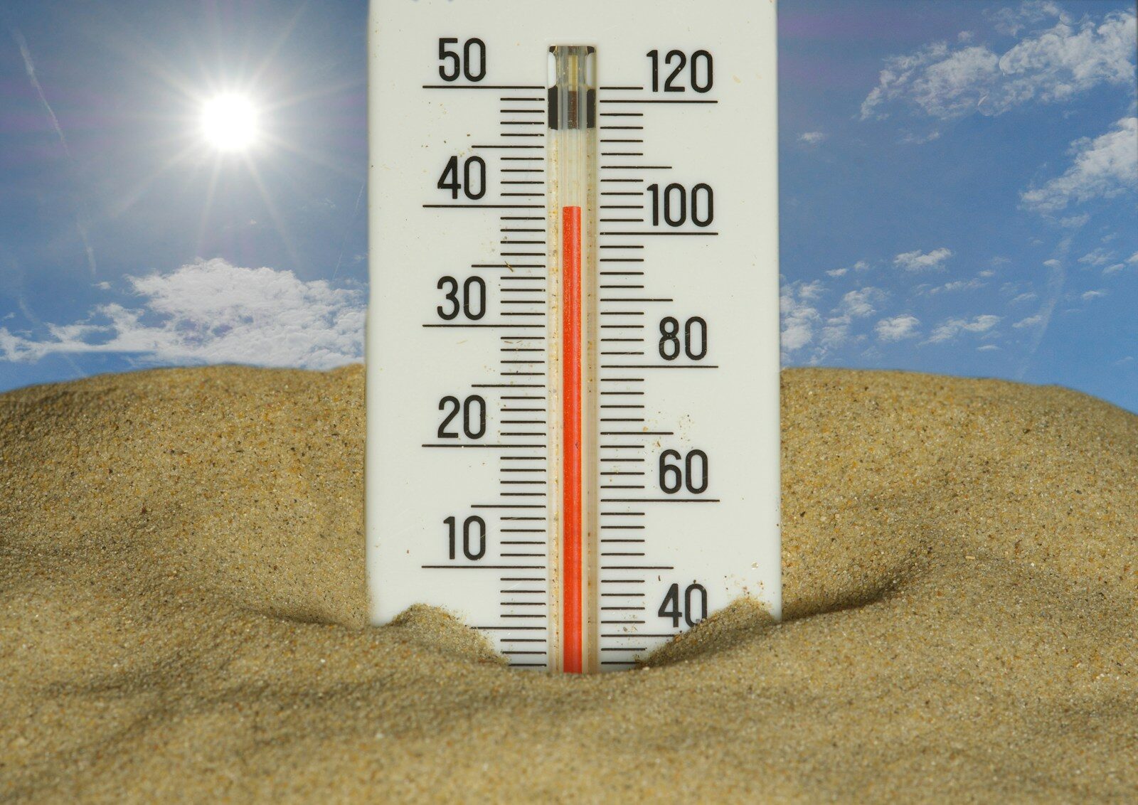
Each week during the summer, Climatecrisis247 will provide a list of the cities expected to see heat of 100°F or higher. The data will include two numbers: the actual temperature, and what AccuWeather calls the “RealFeel” and others call the heat index. The National Weather Service describes the heat index, also known as the apparent temperature, as what the temperature feels like to the human body when relative humidity is combined with air temperature.
Heat of 100°F or higher is common during parts of the summer across the Southwest. It’s rarer in the Midwest and Northeast, though each of these regions has posted 100-degree heat before and may do so again soon.
Temperatures reached that level in New York City two weeks ago. The New York Times reported that the temperature reading in Central Park tied a record for July 2 set in 1966. Temperatures are expected to be in the high 90s this week.
This week’s list is made up primarily of cities that regularly appear on 100-degree lists during the summer, though the reasons vary from city to city. In Arizona, the heat is dry. In Texas, humidity is the primary factor driving the heat index. As Weather Spark has noted, the chance of a muggy day in Houston increases over the course of the summer, rising from 86% to 93% as the season progresses.
Forecast data is from AccuWeather and the National Weather Service.
| City | State | Expected High Temp (°F) | RealFeel / Heat Index Peak |
|---|---|---|---|
| Phoenix | AZ | 105–110+ | 110–117+ |
| Las Vegas | NV | 109–112+ | 113–117+ |
| Mesa | AZ | 105–110+ | 110–117+ |
| Tucson | AZ | 103–108+ | 108–115+ |
| Dallas | TX | 97–102+ | 104–111+ |
| Houston | TX | 92–98 | 105–112+ |
| San Antonio | TX | 95–100+ | 102–110+ |
| Austin | TX | 97–102+ | 103–110+ |
| Fort Worth | TX | 97–102+ | 104–111+ |
| El Paso | TX | 100–105+ | 105–112+ |
| Oklahoma City | OK | 98–103+ | 102–108+ |
The high temperatures and heat indexes (100°F+) in the cities listed above are primarily driven by a persistent weather pattern known as a heat dome, or ridge of high pressure.
Main weather events causing this heat:
Heat dome / upper-level high-pressure ridge (primary driver) A large, strong area of high pressure is stalled over the western and central United States. This causes sinking air that compresses and warms as it descends, leading to clear skies, intense sunshine, and rapidly rising temperatures. The dome traps heat near the surface and prevents cooler air from moving in.
Lack of moisture / dry air in the Southwest (Phoenix, Las Vegas, etc.) Very low humidity allows daytime temperatures to soar, producing dry heat. Strong solar heating under clear skies pushes actual air temperatures over 100–110°F. RealFeel readings are amplified further by intense sunlight and ground heat.
High humidity in the South and Texas (Dallas, Houston, San Antonio, Oklahoma City) Southerly flow brings moisture in from the Gulf of Mexico, creating oppressive humidity that dramatically raises the heat index even when actual air temperatures are only in the mid-to-upper 90s.
Subsidence and limited cloud cover The high-pressure system suppresses cloud formation and precipitation, allowing maximum solar heating during the day. Weak overnight cooling — especially in urban areas — keeps overnight lows elevated.
Sources: AccuWeather and Weather.com
More from ClimateCrisis 247
- The 10 Least Sustainable Countries In The World
- The Worst Back-to-Back Hurricanes in US History
- The Deadliest Hurricanes To Hit the US in the last half century
- States Producing The Most Greenhouse Gas Emissions