Rising Seas Will Claim Over 500 Square Miles In These Gulf Coast Cities by 2050
In the era of climate change, glacial melt is causing sea levels to rise at an unprecedented rate. According to the U.S. Interagency Task Force on Sea Level Change, average global ocean levels rose by about 4 inches over the 90 year period between 1902 and 1992. Since 1993, it has taken only 30 years for sea levels to rise another 4 inches – and this trend is expected to accelerate in the coming decades.
In addition to the ecological harms associated with sea level rise – including habitat loss and the intrusion of saltwater into subterranean freshwater aquifers – rising oceans also pose existential threats to coastal communities across the United States. In many places, rising waters will mean more frequent and severe flooding, and ultimately, significant loss of land area.
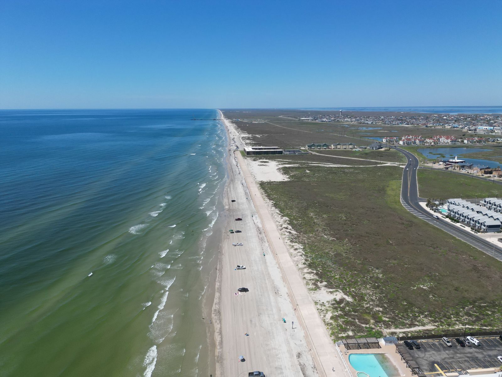
Of all 95,000-plus miles of U.S. shoreline, the Gulf Coast is the most exposed. Interagency researchers with the Sea Level Change Task Force predict that Gulf waters will rise an additional 14 to 18 inches by 2050 – well above the national average of about 12 inches. A recent study published in the scientific journal Nature examined the threat sea-level rise poses to 11 U.S. cities on the Gulf Coast, and found that a total of more than 500 square miles of land area will be exposed to coastal flooding in these places by 2050.
Using data published by Nature, Climate Crisis 247 identified the U.S. cities along the Gulf Coast that will lose the most land to rising sea levels by 2050. We ranked all coastal Gulf cities included in the study on the projected, absolute change in land area exposed to high-tide flooding between 2020 and 2050. All supplemental data in this story is also from the Nature report.
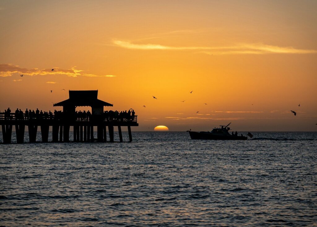
11. Naples, FL
- Land area projected to be exposed to high-tide flooding by 2050: 2.7 sq. mi.
- Land area exposed to high-tide flooding in 2020: 1.1 sq. mi.
- Population projected to be exposed to high-tide flooding by 2050: 1.8% (746 people)
- Population exposed to high-tide flooding in 2020: -0% (0 people)
- Number of properties projected to be exposed to high-tide flooding by 2050: 1.8% (574 properties)
- Number of properties exposed to high-tide flooding in 2020: 0% (0 properties)
10. Slidell, LA
- Land area projected to be exposed to high-tide flooding by 2050: 4.2 sq. mi.
- Land area exposed to high-tide flooding in 2020: 2.3 sq. mi.
- Population projected to be exposed to high-tide flooding by 2050: 3.6% (2,391 people)
- Population exposed to high-tide flooding in 2020: 2.3% (1,493 people)
- Number of properties projected to be exposed to high-tide flooding by 2050: 4.5% (1,226 properties)
- Number of properties exposed to high-tide flooding in 2020: 3.0% (823 properties)
9. Texas City, TX
- Land area projected to be exposed to high-tide flooding by 2050: 4.7 sq. mi.
- Land area exposed to high-tide flooding in 2020: 1.4 sq. mi.
- Population projected to be exposed to high-tide flooding by 2050: 0.7% (596 people)
- Population exposed to high-tide flooding in 2020: 0.0% (5 people)
- Number of properties projected to be exposed to high-tide flooding by 2050: 0.6% (220 properties)
- Number of properties exposed to high-tide flooding in 2020: 0.0% (6 properties)
8. Biloxi, MS
- Land area projected to be exposed to high-tide flooding by 2050: 6.7 sq. mi.
- Land area exposed to high-tide flooding in 2020: 1.3 sq. mi.
- Population projected to be exposed to high-tide flooding by 2050: 1.0% (1,440 people)
- Population exposed to high-tide flooding in 2020: 0% (0 people)
- Number of properties projected to be exposed to high-tide flooding by 2050: 1.0% (700 properties)
- Number of properties exposed to high-tide flooding in 2020: 0% (0 properties)
7. Galveston, TX
- Land area projected to be exposed to high-tide flooding by 2050: 12.4 sq. mi.
- Land area exposed to high-tide flooding in 2020: 2.6 sq. mi.
- Population projected to be exposed to high-tide flooding by 2050: 6.4% (3,136 people)
- Population exposed to high-tide flooding in 2020: 0.1% (71 people)
- Number of properties projected to be exposed to high-tide flooding by 2050: 8.5% (2,835 properties)
- Number of properties exposed to high-tide flooding in 2020: 0.1% (35 properties)
6. Lake Charles, LA
- Land area projected to be exposed to high-tide flooding by 2050: 13.7 sq. mi.
- Land area exposed to high-tide flooding in 2020: 2.5 sq. mi.
- Population projected to be exposed to high-tide flooding by 2050: 0.6% (821 people)
- Population exposed to high-tide flooding in 2020: 0.0% (3 people)
- Number of properties projected to be exposed to high-tide flooding by 2050: 0.7% (379 properties)
- Number of properties exposed to high-tide flooding in 2020: 0.0% (1 properties)
5. Freeport, TX
- Land area projected to be exposed to high-tide flooding by 2050: 15.0 sq. mi.
- Land area exposed to high-tide flooding in 2020: 3.3 sq. mi.
- Population projected to be exposed to high-tide flooding by 2050: 2.7% (601 people)
- Population exposed to high-tide flooding in 2020: 0.4% (92 people)
- Number of properties projected to be exposed to high-tide flooding by 2050: 5.2% (514 properties)
- Number of properties exposed to high-tide flooding in 2020: 1.4% (134 properties)
4. Mobile, AL
- Land area projected to be exposed to high-tide flooding by 2050: 20.1 sq. mi.
- Land area exposed to high-tide flooding in 2020: 2.5 sq. mi.
- Population projected to be exposed to high-tide flooding by 2050: 0.5% (1,381 people)
- Population exposed to high-tide flooding in 2020: – 0% (- 0 people)
- Number of properties projected to be exposed to high-tide flooding by 2050: 0.5% (662 properties)
- Number of properties exposed to high-tide flooding in 2020: – 0% (- 0 properties)
3. Corpus Christi, TX
- Land area projected to be exposed to high-tide flooding by 2050: 29.6 sq. mi.
- Land area exposed to high-tide flooding in 2020: 9.0 sq. mi.
- Population projected to be exposed to high-tide flooding by 2050: 1.4% (4,519 people)
- Population exposed to high-tide flooding in 2020: 0.4% (1,412 people)
- Number of properties projected to be exposed to high-tide flooding by 2050: 1.3% (1,801 properties)
- Number of properties exposed to high-tide flooding in 2020: 0.1% (102 properties)
2. Port Arthur, TX
- Land area projected to be exposed to high-tide flooding by 2050: 66.9 sq. mi.
- Land area exposed to high-tide flooding in 2020: 13.2 sq. mi.
- Population projected to be exposed to high-tide flooding by 2050: 22.7% (26,221 people)
- Population exposed to high-tide flooding in 2020: 0.3% (291 people)
- Number of properties projected to be exposed to high-tide flooding by 2050: 25.4% (11,846 properties)
- Number of properties exposed to high-tide flooding in 2020: 0.3% (127 properties)
1. New Orleans, LA
- Land area projected to be exposed to high-tide flooding by 2050: 328.5 sq. mi.
- Land area exposed to high-tide flooding in 2020: 157.4 sq. mi.
- Population projected to be exposed to high-tide flooding by 2050: 78.1% (654,327 people)
- Population exposed to high-tide flooding in 2020: 52.6% (440,492 people)
- Number of properties projected to be exposed to high-tide flooding by 2050: 76.4% (307,864 properties)
- Number of properties exposed to high-tide flooding in 2020: 50.9% (205,354 properties)
More from ClimateCrisis 247
- The States on Track to Shatter Heat Records in 2026
- ‘Super El Niño’ Projected To Bring 450,000 heat related deaths, according to report — These Are the 10 Countries Most at Risk
- Best Selling EVs That Aren’t A Tesla
- Breached Earth Boundaries Raise Risk of ‘Irreversible Change’