The 15 Driest States In America
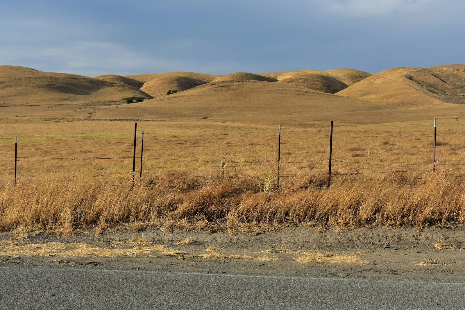
This has been the hottest summer in American history, and it may end up being the driest as well. Data from the U.S. Drought Monitor and the National Interagency Fire Center show that at various points this year, 43 states experienced some level of drought.
Wildfires have also set records, at least compared to activity over the past decade. So far this year, the U.S. has seen 50,000 wildfires that have burned 7.5 million acres. Scientists say the combination of extreme heat and extreme drought is a dangerous mix, one that significantly increases wildfire risk.
Climatecrisis247 examined several measures to determine the driest states: annual precipitation; “aridity,” or precipitation relative to evaporation; data from the U.S. Drought Monitor tracked over time; humidity; the rate at which groundwater is being depleted; and how quickly lakes, rivers, and reservoirs evaporate.
None of these measures was complete on its own, so our editors created an index that best reflects “dryness” by weighting several of the traditional metrics.
The index normalizes each state on a 0–100 scale for each metric, then combines them using the following weights:
- 40% — Annual precipitation
- 25% — Aridity Index (precipitation vs. evapotranspiration)
- 20% — Groundwater depletion rate
- 15% — Current U.S. Drought Monitor severity
Most of the underlying data came from the U.S. Drought Monitor, NOAA/NCEI (National Centers for Environmental Information), state water boards, USGS, the U.S. Climate Resilience Toolkit, and NASA Earth Data.
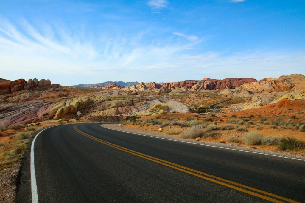
This is the Climatecrisis247 Dryness Index, which we used to identify the 15 driest states.
| Rank | State | Avg. Precip (in/yr) | Dryness Index (0–100) |
|---|---|---|---|
| 1 | Nevada | 9.5 | 97 |
| 2 | Arizona | 13.6 | 93 |
| 3 | Utah | 12.2 | 89 |
| 4 | New Mexico | 14.6 | 85 |
| 5 | California | 22.2 | 74 |
| 6 | Colorado | 15.9 | 72 |
| 7 | Wyoming | 12.9 | 68 |
| 8 | Idaho | 18.9 | 62 |
| 9 | Montana | 15.3 | 58 |
| 10 | Oregon | 27.4 | 52 |
| 11 | Nebraska | 23.6 | 50 |
| 12 | North Dakota | 17.8 | 47 |
| 13 | South Dakota | 20.1 | 45 |
| 14 | Minnesota | 27.3 | 38 |
| 15 | Alaska | 22.5 | 34 |
There is plenty of room for debate about this methodology. One question is the duration of the measurements used. Should U.S. Drought Monitor figures reflect a single month, an entire spring or summer season, or a full year? The same question applies to groundwater depletion: some measurements draw on decades of data, while one NASA study looked at just a six-year period worldwide, and a USGS study covers nearly a century.
Another possible metric is wildfire activity — either acres burned or number of fires per state. The National Interagency Fire Center has data going back decades that could inform this.
Part of the index’s value lies in pointing toward possible, if only partial, solutions to America’s deepening dryness problem.
More from ClimateCrisis 247
- The 10 Most Sustainable Countries In The World
- States Where Tax Payers Will Pay The Most for Rising Sea Levels
- The 10 Least Sustainable Countries In The World
- The Worst Back-to-Back Hurricanes in US History