These East Coast Cities Will Lose the Most Land to Rising Seas by 2050
Of all the potential consequences of climate change, sea level rise is one of the most predictable–and potentially catastrophic. As global temperatures rise, glaciers are melting at an accelerating rate, increasing the volume of water in the world’s oceans. The two largest ice sheets in the world, Antarctica and Greenland, have lost a combined average of over 200 billion metric tons of ice per year since the 1970s, according to the European Union’s Earth Observation Programme, Copernicus
Glacial melt has already contributed to a measurable rise in global sea levels, including along U.S. coastlines–particularly the Atlantic Coast. According to the U.S. Interagency Task Force on Sea Level Change, ocean levels have climbed by more than 8 inches along the Eastern Seaboard since the 1970s. This trend will likely only accelerate in the coming decades.
Over the next 30 years, government researchers predict the Atlantic Ocean will rise by between 10 and 14 inches along the East Coast of the United States, exposing tens of thousands of Americans and households to high-tide flooding. A recent study published in the scientific journal Nature, examined the threat sea-level rise poses to 11 U.S. cities on the Atlantic Coast, and found that an additional 336 square miles of land area will be exposed to coastal flooding in these places by 2050.
Using data published by Nature, Climate Crisis 247 identified the U.S. cities along the Atlantic Coast that will lose the most land to rising sea levels by 2050. We ranked all coastal Atlantic cities included in the study on the projected, absolute change in land area exposed to high-tide flooding between 2020 and 2050. All supplemental data in this story is also from the Nature report.
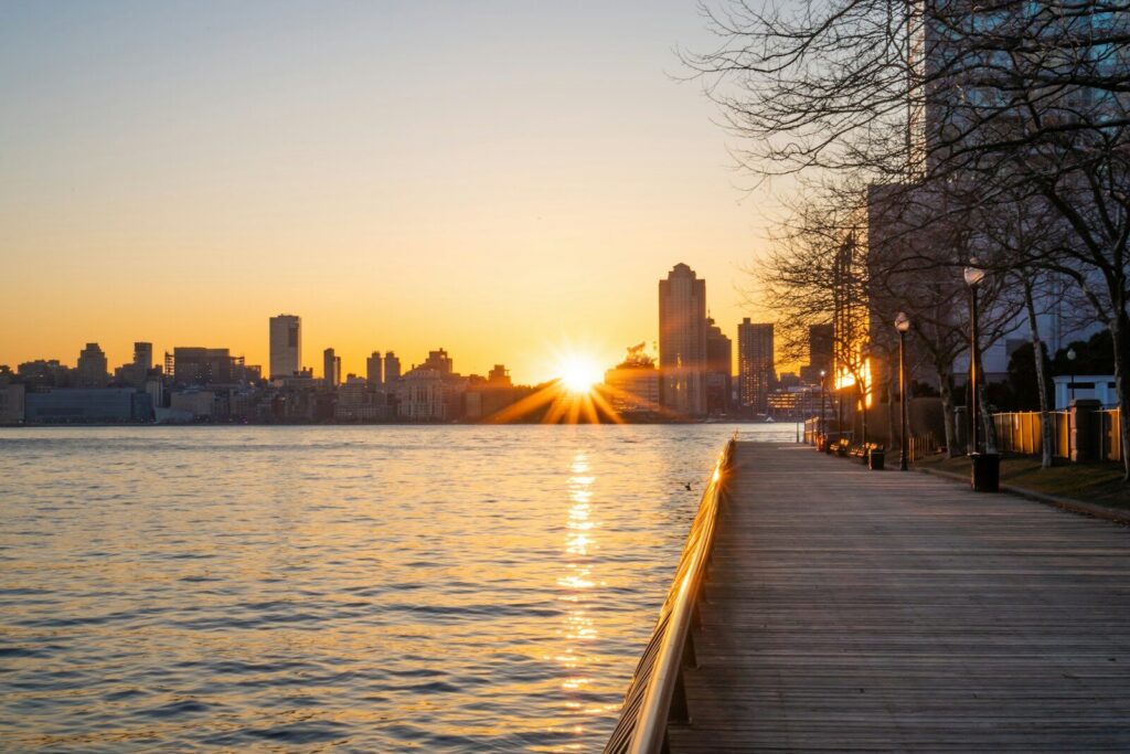
11. Jersey City, NJ
- Land area projected to be exposed to high-tide flooding by 2050: 0.9 sq. mi.
- Land area exposed to high-tide flooding in 2020: 0.7 sq. mi.
- Population projected to be exposed to high-tide flooding by 2050: 1.8% (4,418 people)
- Population exposed to high-tide flooding in 2020: 1.7% (4,192 people)
- Number of properties projected to be exposed to high-tide flooding by 2050: 1.9% (2,093 properties)
- Number of properties exposed to high-tide flooding in 2020: 1.8% (1,997 properties)
10. Boston, MA
- Land area projected to be exposed to high-tide flooding by 2050: 2.9 sq. mi.
- Land area exposed to high-tide flooding in 2020: 2.1 sq. mi.
- Population projected to be exposed to high-tide flooding by 2050: 0.4% (3,613 people)
- Population exposed to high-tide flooding in 2020: 0.2% (1,658 people)
- Number of properties projected to be exposed to high-tide flooding by 2050: 0.5% (1,954 properties)
- Number of properties exposed to high-tide flooding in 2020: 0.2% (774 properties)
9. Wilmington, NC
- Land area projected to be exposed to high-tide flooding by 2050: 13.0 sq. mi.
- Land area exposed to high-tide flooding in 2020: 9.9 sq. mi.
- Population projected to be exposed to high-tide flooding by 2050: 2.3% (3,974 people)
- Population exposed to high-tide flooding in 2020: 1.1% (1,850 people)
- Number of properties projected to be exposed to high-tide flooding by 2050: 2.4% (2,015 properties)
- Number of properties exposed to high-tide flooding in 2020: 1.4% (1,223 properties)
8. New York City, NY
- Land area projected to be exposed to high-tide flooding by 2050: 9.2 sq. mi.
- Land area exposed to high-tide flooding in 2020: 5.6 sq. mi.
- Population projected to be exposed to high-tide flooding by 2050: 0.1% (5,122 people)
- Population exposed to high-tide flooding in 2020: 0.0% (1,478 people)
- Number of properties projected to be exposed to high-tide flooding by 2050: 0.1% (2,080 properties)
- Number of properties exposed to high-tide flooding in 2020: 0.0% (627 properties)
7. Myrtle, SC
- Land area projected to be exposed to high-tide flooding by 2050: 18.9 sq. mi.
- Land area exposed to high-tide flooding in 2020: 14.4 sq. mi.
- Population projected to be exposed to high-tide flooding by 2050: 1.4% (1,405 people)
- Population exposed to high-tide flooding in 2020: 1.0% (988 people)
- Number of properties projected to be exposed to high-tide flooding by 2050: 1.6% (1,538 properties)
- Number of properties exposed to high-tide flooding in 2020: 1.2% (1,170 properties)
6. Atlantic City, NJ
- Land area projected to be exposed to high-tide flooding by 2050: 50.9 sq. mi.
- Land area exposed to high-tide flooding in 2020: 26.8 sq. mi.
- Population projected to be exposed to high-tide flooding by 2050: 7.8% (8,365 people)
- Population exposed to high-tide flooding in 2020: 1.2% (1,317 people)
- Number of properties projected to be exposed to high-tide flooding by 2050: 8.8% (10,033 properties)
- Number of properties exposed to high-tide flooding in 2020: 1.3% (1,505 properties)
5. Charleston, SC
- Land area projected to be exposed to high-tide flooding by 2050: 99.8 sq. mi.
- Land area exposed to high-tide flooding in 2020: 70.6 sq. mi.
- Population projected to be exposed to high-tide flooding by 2050: 4.5% (18,480 people)
- Population exposed to high-tide flooding in 2020: 2.5% (10,172 people)
- Number of properties projected to be exposed to high-tide flooding by 2050: 4.4% (8,301 properties)
- Number of properties exposed to high-tide flooding in 2020: 2.2% (4,112 properties)
4. Virginia Beach, VA
- Land area projected to be exposed to high-tide flooding by 2050: 71.1 sq. mi.
- Land area exposed to high-tide flooding in 2020: 29.2 sq. mi.
- Population projected to be exposed to high-tide flooding by 2050: 2.1% (20,890 people)
- Population exposed to high-tide flooding in 2020: 0.4% (3,751 people)
- Number of properties projected to be exposed to high-tide flooding by 2050: 2.2% (8,781 properties)
- Number of properties exposed to high-tide flooding in 2020: 0.5% (1,857 properties)
3. Jacksonville, FL
- Land area projected to be exposed to high-tide flooding by 2050: 105.0 sq. mi.
- Land area exposed to high-tide flooding in 2020: 60.2 sq. mi.
- Population projected to be exposed to high-tide flooding by 2050: 3.3% (30,939 people)
- Population exposed to high-tide flooding in 2020: 2.2% (20,992 people)
- Number of properties projected to be exposed to high-tide flooding by 2050: 3.2% (13,461 properties)
- Number of properties exposed to high-tide flooding in 2020: 2.0% (8,410 properties)
2. Savannah, GA
- Land area projected to be exposed to high-tide flooding by 2050: 179.5 sq. mi.
- Land area exposed to high-tide flooding in 2020: 134.2 sq. mi.
- Population projected to be exposed to high-tide flooding by 2050: 4.7% (13,710 people)
- Population exposed to high-tide flooding in 2020: 3.4% (9,874 people)
- Number of properties projected to be exposed to high-tide flooding by 2050: 4.9% (6,290 properties)
- Number of properties exposed to high-tide flooding in 2020: 3.5% (4,487 properties)
1. Miami, FL
- Land area projected to be exposed to high-tide flooding by 2050: 217.4 sq. mi.
- Land area exposed to high-tide flooding in 2020: 78.6 sq. mi.
- Population projected to be exposed to high-tide flooding by 2050: 1.7% (77,219 people)
- Population exposed to high-tide flooding in 2020: 0.7% (34,997 people)
- Number of properties projected to be exposed to high-tide flooding by 2050: 2.4% (49,468 properties)
- Number of properties exposed to high-tide flooding in 2020: 1.0% (21,194 properties)
More from ClimateCrisis 247
- The 10 Most Sustainable Countries In The World
- States Where Tax Payers Will Pay The Most for Rising Sea Levels
- The 10 Least Sustainable Countries In The World
- The Worst Back-to-Back Hurricanes in US History