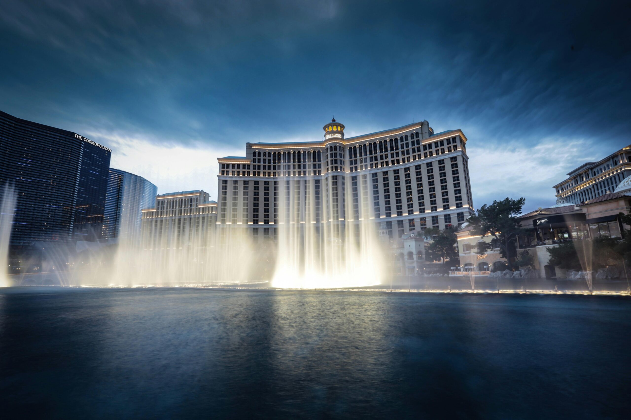
Las Vegas Could Be Next City Hit By Wildfires
One of the best data sets for finding areas with wildfire risk is the First Street map system. Based on this and the fact that Las Vegas gets less rain than any large city in the US, the area could be the next hit by large wildfires.
*America’s Wildfires
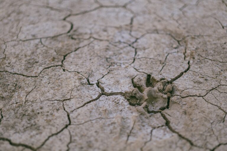
On average, Las Vegas gets 4.2 inches of rain per year. The areas around Los Angeles get about 14. The topography of the two cities is different, but the drought areas in Nevada and high winds of the 40 MPH winds that often hit the city make it a candidate for rapidly growing fires. (The record wind speed in Las Vegas Valley was 90 MPH in 1989).
The most vulnerable areas for wildfire risk are not downtown. They are in suburbs close to the city. Primarily these are Enterprise and Henderson which have areas where homes are close together.
First Street puts residential extreme risk at 60,387 for 191,655 of the residences in the greater Las Vegas area. Its summary of the area is “Las Vegas has a major risk of wildfire over the next 30 years.” First Street suggests stricter building codes, controlled burns, and less vegetation. Los Angeles area residents largely ignored similar warnings.
What About Hurricanes?
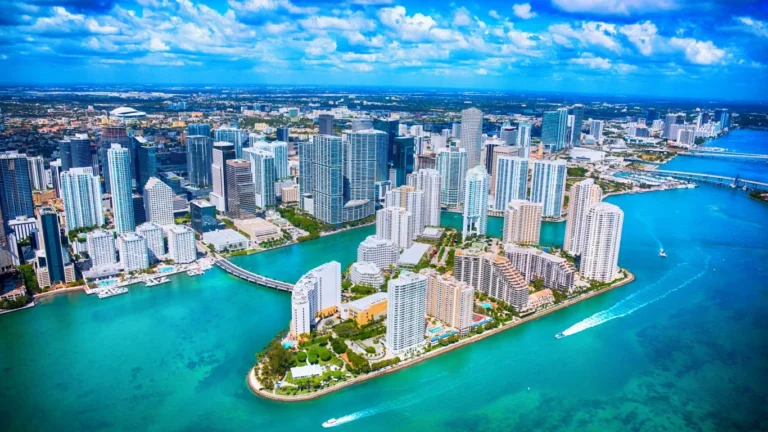
It is impossible to forecast exactly where the next huge climate event will happen. It is like guessing when the next major hurricane will hit Miami, Jacksonville, or Tampa. However, long term weather conditions matter. And, this means Las Vegas needs to make better preparations.
Sponsor
Find a Vetted Financial Advisor
- Finding a fiduciary financial advisor doesn't have to be hard. SmartAsset's free tool matches you with up to 3 financial advisors that serve your area in 5 minutes.
- Each advisor has been vetted by SmartAsset and is held to a fiduciary standard to act in your best interests. Get on the path toward achieving your financial goals!

