Hurricane Beryl Reminder Miami, Tampa Could Be Crushed This Decade

Hurricane Beryl reached Cateogy 5 status earlier than any Atlantic storm in history. It reminds us that the warming Atlantic and even warmer water off Florida and the Gulf Coast have created an atmosphere for massive, fast-forming hurricanes. These can also have rapid and unexpected increases in size and wind force. Several forecasting agencies believe the 2024 hurricane season will be the most destructive on record.
Is There A Climate Haven? –Maybe Buffalo
Hurricane Beryl moved from Category 3 to Category 5 in less than a day. USAToday reported, “These are ominous signs of what weather experts see as danger ahead in what is expected to be a hyperactive season for major storms.”
As one weather expert said: “What we are seeing is that a greater proportion of the tropical storms that do form are going through rapid intensification cycles that often result in hurricanes becoming potentially catastrophic category 4 and 5 systems.”
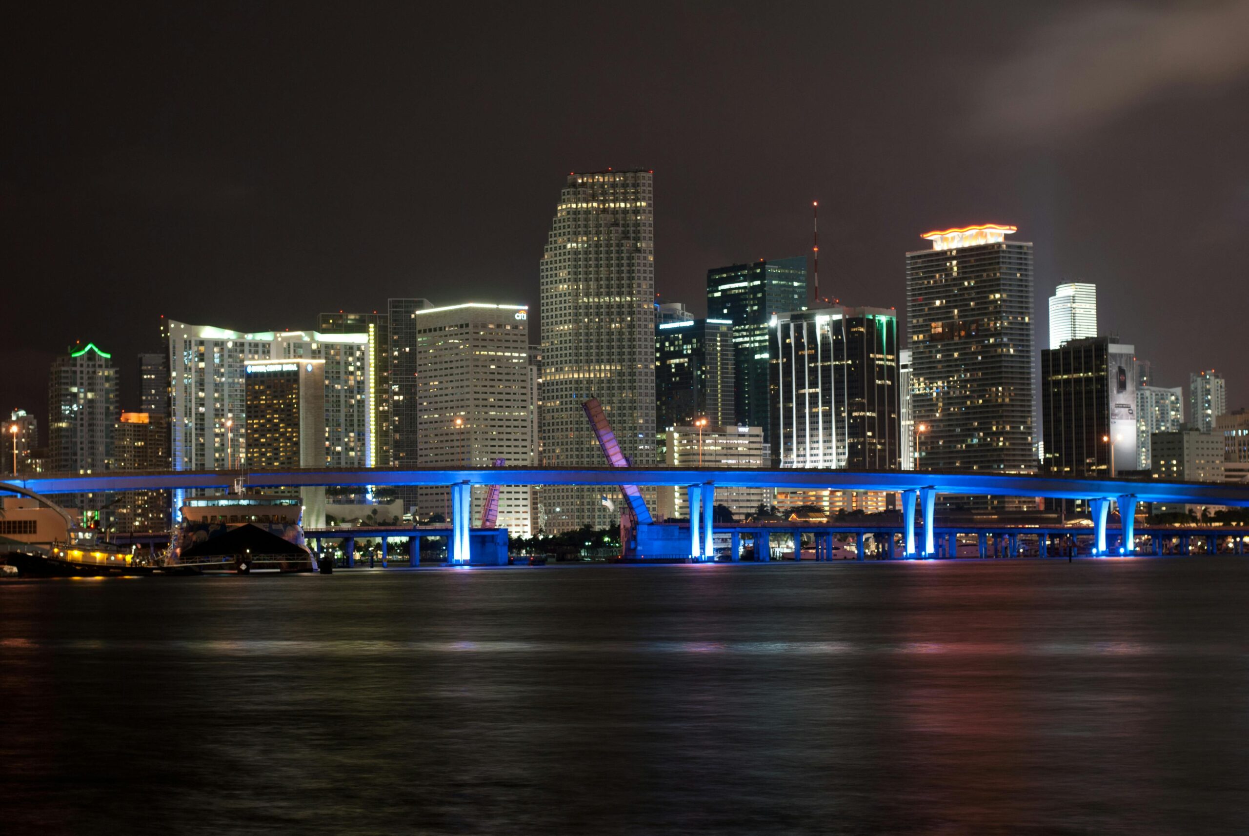
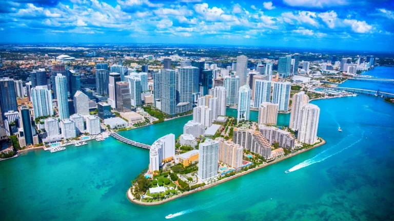
Beryl will hit areas without large populations and with little or no expensive infrastructure. Landfall of such a storm in the area of Miami could kill hundreds of people and do tens of billions of dollars in damage. Part of Miami is below sea level. In 1992, Andrew did $25 billion in damage in and around South Florida. In 2022, Ian’s total damages were $113 billion in damage, mostly on the west side of Florida. It exited the US on the coast of Florida.
No End To Storms
Experts believe it is too late to change the climate that creates such powerful storms. That means the current trend will not be reversed.
Many meteorologists believe it is only a matter of time before a huge hurricane hits southeastern Florida. The Washinton Post reports that building code and forecasting improvements would blunt the force of such a storm–but not by much.


