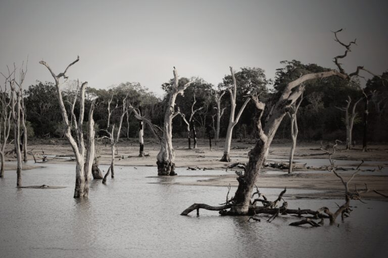
It’s Too Wet In Maine, New Hampshire, And Vermont
NOAA’s Dought.gov website shows soil water content on a near real-time map. It is known as NASA’s Short-term Prediction and Transition Center – Land Information System (SPoRT-LIS). Soil moisture percentiles measure ground moisture. The map shows the wettest ground in America: Maine, Vermont, and New Hampshire. This means the area is at risk for flood, and in some cases, the risk of damage is high if there is heavy rainfall.
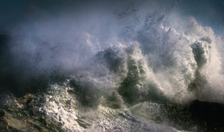
The soil’s high moisture is partially due to record precipitation last summer. New Hampshire received 21 inches of rain in June, July, and August, eight inches above normal. The US Drought Monitor shows no drought in any area of the six northeastern states, another sign of a wet summer and fall.
In December, Vermont was hit by flood as it was during the summer. This time, the cause was different. Uneabably warm days meant accumulated ice and snow melted quickly. Barre and Montpelier, almost destroyed by floods the past summer, flooded again.
The trouble is probably not over. The National Weather Service’s Climate Prediction Center forecasts above-normal precipitation for 8 to 14 days. The wet ground will be saturated further by what is likely to be higher than normal rainfall again.
What was a destructive summer because of flooding may turn into a difficult late Winter and early Spring.