8 California Cities That Will Lose the most land to rising seas by 2050
Antarctica and Greenland are the largest ice sheets on Earth, containing approximately 68% of the world’s freshwater. Amid rising global temperatures, both ice sheets have been melting at an accelerating rate, losing a combined average of over 200 billion metric tons of mass annually, according to the European Union’s Earth Observation Programme. Ongoing glacial melt is contributing to a pace of sea-level rise that could pose an existential threat to coastal communities the world over – including in the United States.
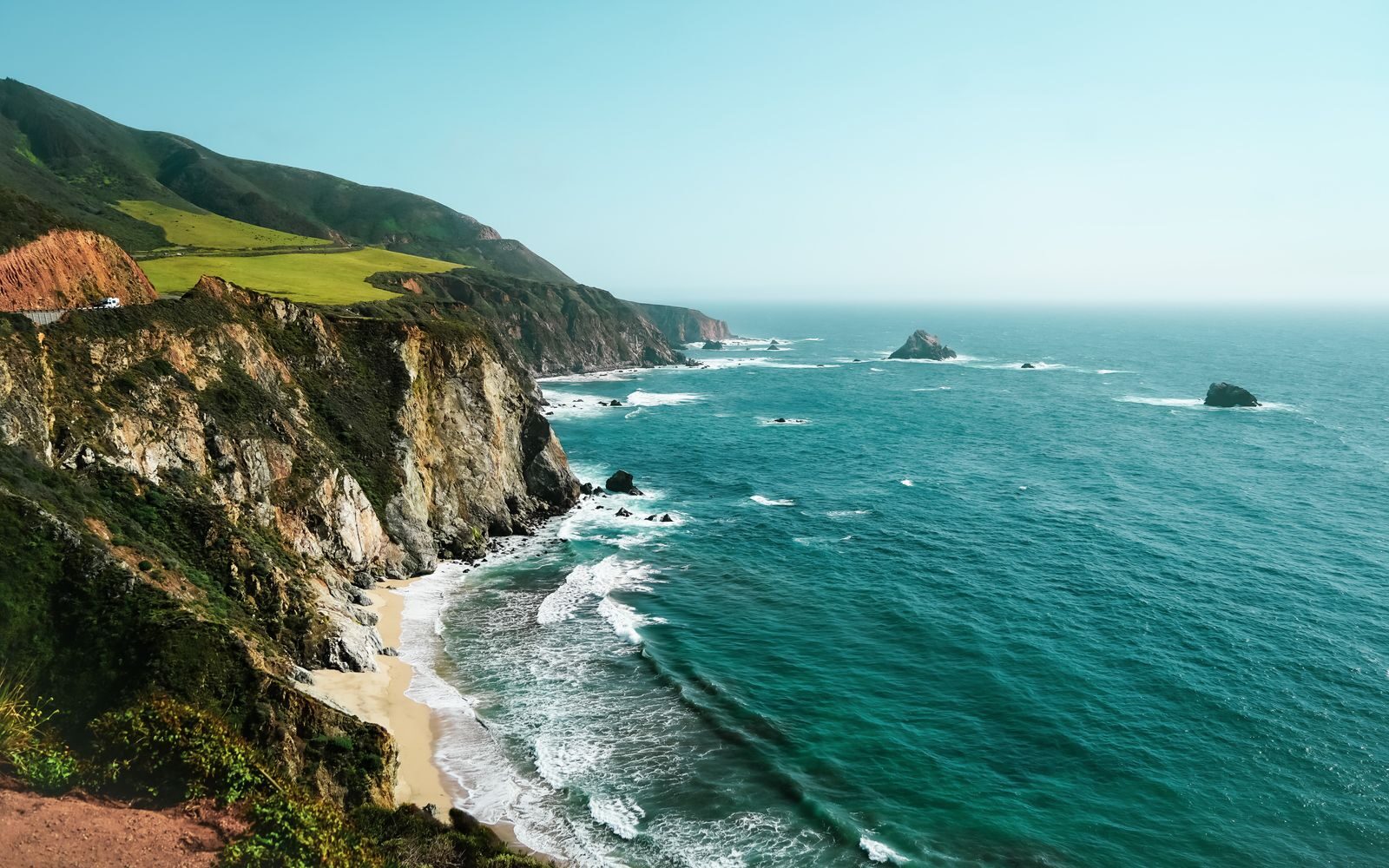
Since 1970, water levels in the have climbed by approximately 4 inches along much of the West Coast of the United States. Researchers with the U.S. Interagency Task Force on Sea Level Change predict that sea levels along the West Coast will rise an additional 4 to 8 inches by 2050. With over 3,400 miles of shoreline along the Pacific, California has greater exposure to sea level rise than any other state in the Continental U.S. – and several of the state’s low-lying coastal cities are especially vulnerable.
A recent study published in the scientific journal Nature examined the threat sea-level rise poses to 10 coastal cities in California. According to the report, nearly 50 square miles of land area in these cities alone will be exposed to high-tide coastal flooding within the next 30 years.
Using data published by Nature, Climate Crisis 247 identified the coastal California cities that will lose the most land to rising sea levels by 2050. We ranked eight of the coastal cities in California included in the study on the projected, absolute change in land area exposed to high-tide flooding between 2020 and 2050. All supplemental data in this story is also from the Nature report.
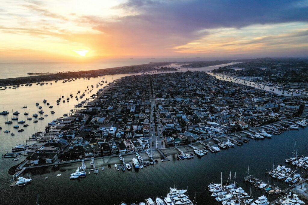
8. Newport, CA
- Land area projected to be exposed to high-tide flooding by 2050: 1.8 sq. mi.
- Land area exposed to high-tide flooding in 2020: 1.3 sq. mi.
- Population projected to be exposed to high-tide flooding by 2050: 1.3% (2,809 people)
- Population exposed to high-tide flooding in 2020: 0.3% (619 people)
- Number of properties projected to be exposed to high-tide flooding by 2050: 2.0% (1,872 properties)
- Number of properties exposed to high-tide flooding in 2020: 0.5% (419 properties)
7. Long Beach, CA
- Land area projected to be exposed to high-tide flooding by 2050: 3.6 sq. mi.
- Land area exposed to high-tide flooding in 2020: 3.0 sq. mi.
- Population projected to be exposed to high-tide flooding by 2050: 0.1% (875 people)
- Population exposed to high-tide flooding in 2020: 0.0% (158 people)
- Number of properties projected to be exposed to high-tide flooding by 2050: 0.2% (572 properties)
- Number of properties exposed to high-tide flooding in 2020: 0.0% (117 properties)
6. South San Francisco, CA
- Land area projected to be exposed to high-tide flooding by 2050: 2.7 sq. mi.
- Land area exposed to high-tide flooding in 2020: 1.6 sq. mi.
- Population projected to be exposed to high-tide flooding by 2050: 0.0% (40 people)
- Population exposed to high-tide flooding in 2020: 0.0% (40 people)
- Number of properties projected to be exposed to high-tide flooding by 2050: 0.1% (39 properties)
- Number of properties exposed to high-tide flooding in 2020: 0.1% (39 properties)
5. Richmond, CA
- Land area projected to be exposed to high-tide flooding by 2050: 5.2 sq. mi.
- Land area exposed to high-tide flooding in 2020: 3.9 sq. mi.
- Population projected to be exposed to high-tide flooding by 2050: 0.1% (205 people)
- Population exposed to high-tide flooding in 2020: 0.1% (167 people)
- Number of properties projected to be exposed to high-tide flooding by 2050: 0.1% (102 properties)
- Number of properties exposed to high-tide flooding in 2020: 0.1% (81 properties)
4. Huntington, CA
- Land area projected to be exposed to high-tide flooding by 2050: 6.4 sq. mi.
- Land area exposed to high-tide flooding in 2020: 5.0 sq. mi.
- Population projected to be exposed to high-tide flooding by 2050: 11.3% (24,559 people)
- Population exposed to high-tide flooding in 2020: 8.3% (17,922 people)
- Number of properties projected to be exposed to high-tide flooding by 2050: 11.3% (9,955 properties)
- Number of properties exposed to high-tide flooding in 2020: 8.2% (7,229 properties)
3. San Diego, CA
- Land area projected to be exposed to high-tide flooding by 2050: 7.3 sq. mi.
- Land area exposed to high-tide flooding in 2020: 5.6 sq. mi.
- Population projected to be exposed to high-tide flooding by 2050: 0.0% (963 people)
- Population exposed to high-tide flooding in 2020: 0.0% (920 people)
- Number of properties projected to be exposed to high-tide flooding by 2050: 0.1% (898 properties)
- Number of properties exposed to high-tide flooding in 2020: 0.1% (870 properties)
2. Foster City, CA
- Land area projected to be exposed to high-tide flooding by 2050: 9.6 sq. mi.
- Land area exposed to high-tide flooding in 2020: 7.8 sq. mi.
- Population projected to be exposed to high-tide flooding by 2050: 68.6% (51,525 people)
- Population exposed to high-tide flooding in 2020: 64.9% (48,755 people)
- Number of properties projected to be exposed to high-tide flooding by 2050: 66.9% (20,805 properties)
- Number of properties exposed to high-tide flooding in 2020: 63.2% (19,636 properties)
1. Oakland, CA
- Land area projected to be exposed to high-tide flooding by 2050: 7.8 sq. mi.
- Land area exposed to high-tide flooding in 2020: 5.4 sq. mi.
- Population projected to be exposed to high-tide flooding by 2050: 0.3% (2,043 people)
- Population exposed to high-tide flooding in 2020: 0.1% (1,005 people)
- Number of properties projected to be exposed to high-tide flooding by 2050: 0.3% (766 properties)
- Number of properties exposed to high-tide flooding in 2020: 0.1% (317 properties)
More from ClimateCrisis 247
- The 10 Most Sustainable Countries In The World
- States Where Tax Payers Will Pay The Most for Rising Sea Levels
- The 10 Least Sustainable Countries In The World
- The Worst Back-to-Back Hurricanes in US History