The Government is Massively Underestimating Flood Risk
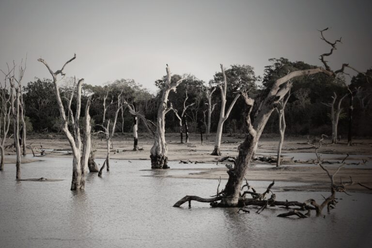
Floods are among the most destructive natural disasters to regularly impact the United States. According to the National Oceanic and Atmospheric Administration, there have been 44 flooding events that resulted in over $1 billion in losses nationwide since 1980, not including coastal storm surges. Fortunately, compared to some other natural disasters, floods are relatively predictable, and the federal government has a critical role in identifying high-risk areas.
Accounting for variables including elevation, proximity to bodies of water, and precipitation, the Federal Emergency Management Agency, or FEMA, calculates flood-risk for properties across the United States. FEMA’s assessments are widely used by state and local governments, research organizations, and insurance providers.
According to FEMA, there are an estimated 8.7 million properties in the continental United States at substantial flood risk – meaning they face a 1% chance of flooding in a given year, and a more than 26% chance of flooding at least once every 30 years. However, a report from the non-profit climate-risk research organization First Street Foundation, suggests that FEMA may be greatly underestimating flood-risk in many parts of the United States.
The report, which incorporates FEMA projections, as well as data from NOAA, the U.S. Geological Survey, the World Climate Research Programme, and local governments, indicates that the number of properties in the continental U.S. at substantial flood-risk may be as high as 14.6 million, topping FEMA estimates by about 5.9 million properties.
First Street’s model largely reaffirms FEMA’s analysis of flood risks posed by rivers. The difference in the two assessments are, according to First Street, the result of FEMA underestimating risks posed by streams, heavy rainfall, and rising sea levels.
Discrepancies between First Street and FEMA in their risk assessments are especially pronounced in certain parts of the country. Due in part to incomplete FEMA mapping, First Street’s modeling suggests that the number of properties at substantial flood risk exceed government estimates by 290% in Idaho, 311% in Montana, 325% in Wyoming, 419% in Utah, and 438% in Washington, D.C.
Notably, government projections also appear to overestimate flood risk in certain states. First Street’s analysis found that FEMA overcounted the number of properties at substantial flood risk by about 10,800 in Arizona, 83,900 in Louisiana, and 8,100 in New Jersey.
In the coming years, climate change is expected to increase the risk of flooding in many parts of the United States. According to First Street’s projections, the number of properties at substantial risk of flooding is projected to rise to 16.2 million by 2050 – nearly double the current number of at-risk properties identified by FEMA.
More from ClimateCrisis 247
- A Month’s Worth of Rain in Two Days: The Cities Hit Hardest
- The 10 US Cities With Most Rain In The 21st Century
- States That Didn’t Have Wildfires Last Year
- States Where Historic Heat Records are Being Shattered in 2026