US Wildfire Destruction Tops 8 Of The Last 10 Years
As of two days ago, wildfires had burned 810,438 acres in 2026. This was caused by 16,380 wildfires. The figures are above the national ten-year average of 708,607 acres, which caused 14,290 fires over the same period. It is also higher than the numbers in 2025, 2023, 2022, 2021, 2020, 2019, 2018, and 2016, based on acres burned.
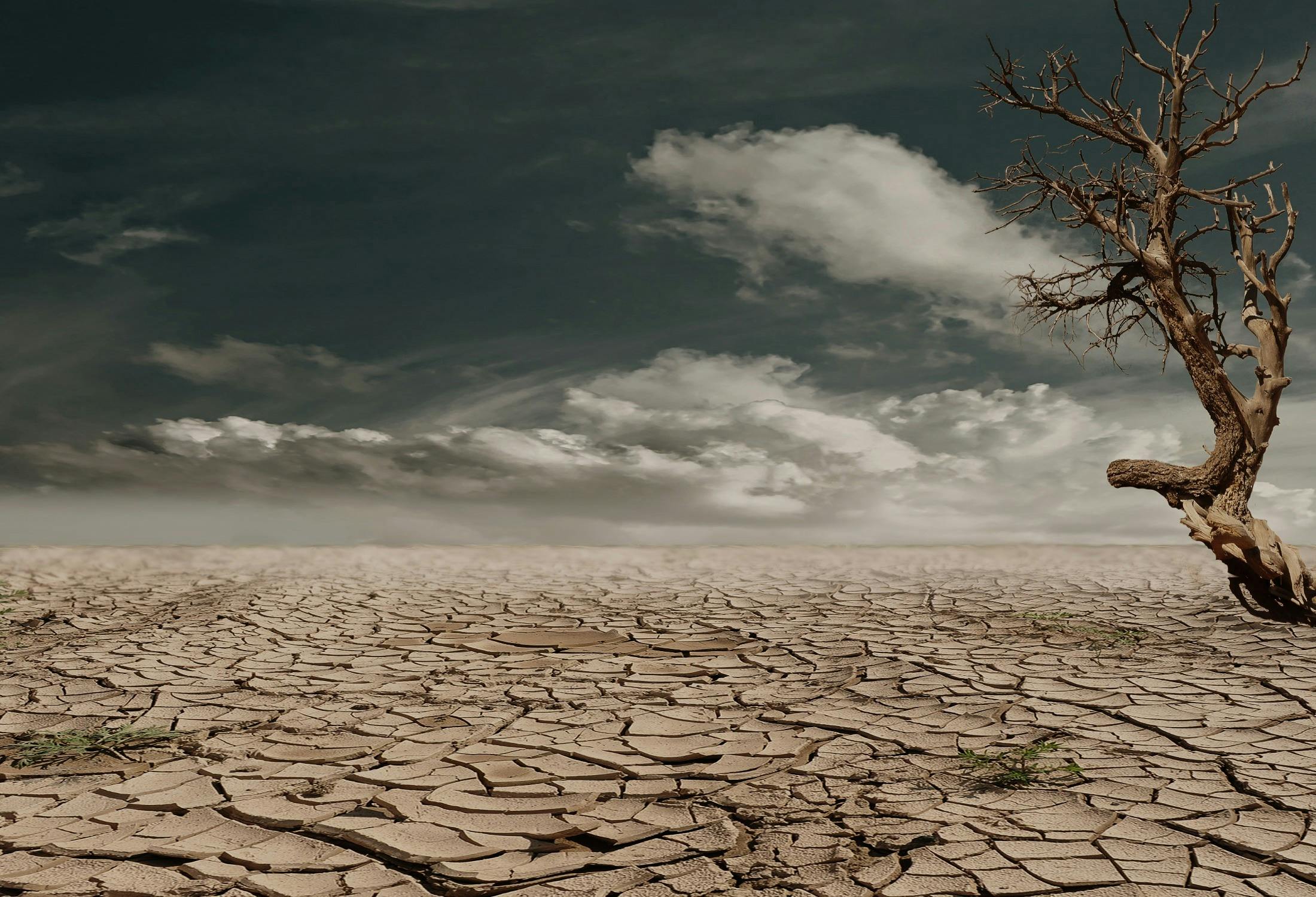
The cause of this sharp increase is almost completely due to drought. Climate Central reports, “Widespread western snow drought, worsened by a record-shattering March heat wave following a record-warm winter, is raising concerns about water supplies and wildfire risks in the months ahead.” The melting snow period is almost over.
An extraordinary heat wave hit much of the West last month. Throughout most of Texas, Arizona, Nevada, and Colorado, March temperatures broke records. They broke April records as well.
The most alarming trend is the level of the region’s huge reservoirs. Lake Mead is at 1,046 feet, well below its normal level. 3News reports, meteorologist Bill Bellis said “Lake Mead now has the combination of one of the lowest, worst snow packs on record for the western slopes of the Rockies.” Created by the Hoover Dam, it straddles the border between Nevada and Arizona. It provides water to 20 million people and electricity across much of the region.
The other huge lake in the West is Lake Powell. It straddles Utah and Arizona and is fed by the Colorado River, which is at historically low levels.
The drought around the lakes has been described as creating wildfire danger. There is also a “megadrought” in the areas around the two lakes. This has two effects. One is to keep their reservoirs low. The other is to make wildfires much more likely
One of the most carefully followed measures of drought levels is the U.S Drought Monitor. Today it shows a high level of drought from Texas, through parts of Arizona, to Colorado and Utah, just to the east of Las Vegas.
Environmental site Grist has issued its wildfire forecasts for May and June. Its “hotspots” in May cover much of Arizona, New Mexico, and Colorado. For June, the risk map grows to include large parts of these states in addition to Florida (which has suffered from extreme drought for weeks), Washington, Oregon, and California.
Although the available data does not definitely point to a record wildfire season, it moves in that direction.
More from ClimateCrisis 247
- Estancia, N.M. Is Drying Up
- America’s 15 Most Water-Starved Cities
- These 10 States Had the Biggest Crop losses due to drought
- States Being Slammed by Drought