60% Of Miami Will Be Underwater By 2060

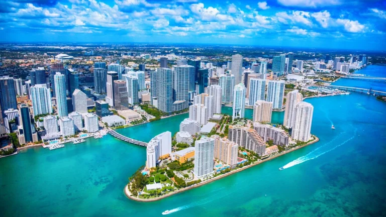
Three years ago, researchers at the University of Miami forecast that 60% of Miami-Dade County would be underwater by 2060. None of the information in their study has changed. As a matter of fact, many of the expected causes for this have worsened quickly.
The researchers first pointed out that much of Miami is already at or below sea level. FEMA flood maps show that this is the case across a large portion of the city, which includes Miami Beach and some of the land on Biscayne Bay.
Today, the worst flooding would be caused by a storm surge from a large hurricane. Miami-Dade County has a map of these based on the Category level of the hurricane. A Category 5 hurricane would swamp at least a third of the city. When Hurricane Andrew hit the area on August 24, 1992, it caused $30 billion in damages (closer to $60 billion in today’s dollars). It left 126,000 people homeless and damaged or destroyed thousands of buildings.
NASA Research
NASA researchers report that global warming and ice melting near both poles will increase the water level on the US coast by 10 inches to 12 inches by 2050. At that level, much of Miami would be underwater without being hit by any storms.
A large hurricane will paint the picture of Miami’s flood problem before permanent sea levels do. That could happen any year between now and 2060.
More from ClimateCrisis 247
- States With The Most Dangerous Weather
- Weather Forecast Are Being Hacked
- The American Counties Missing the Most Rain This Year
- Tornado Season Looks Different Now: Is Your State on the List?