America’s 10 Largest Reservoirs And How Much Water They Have Lost
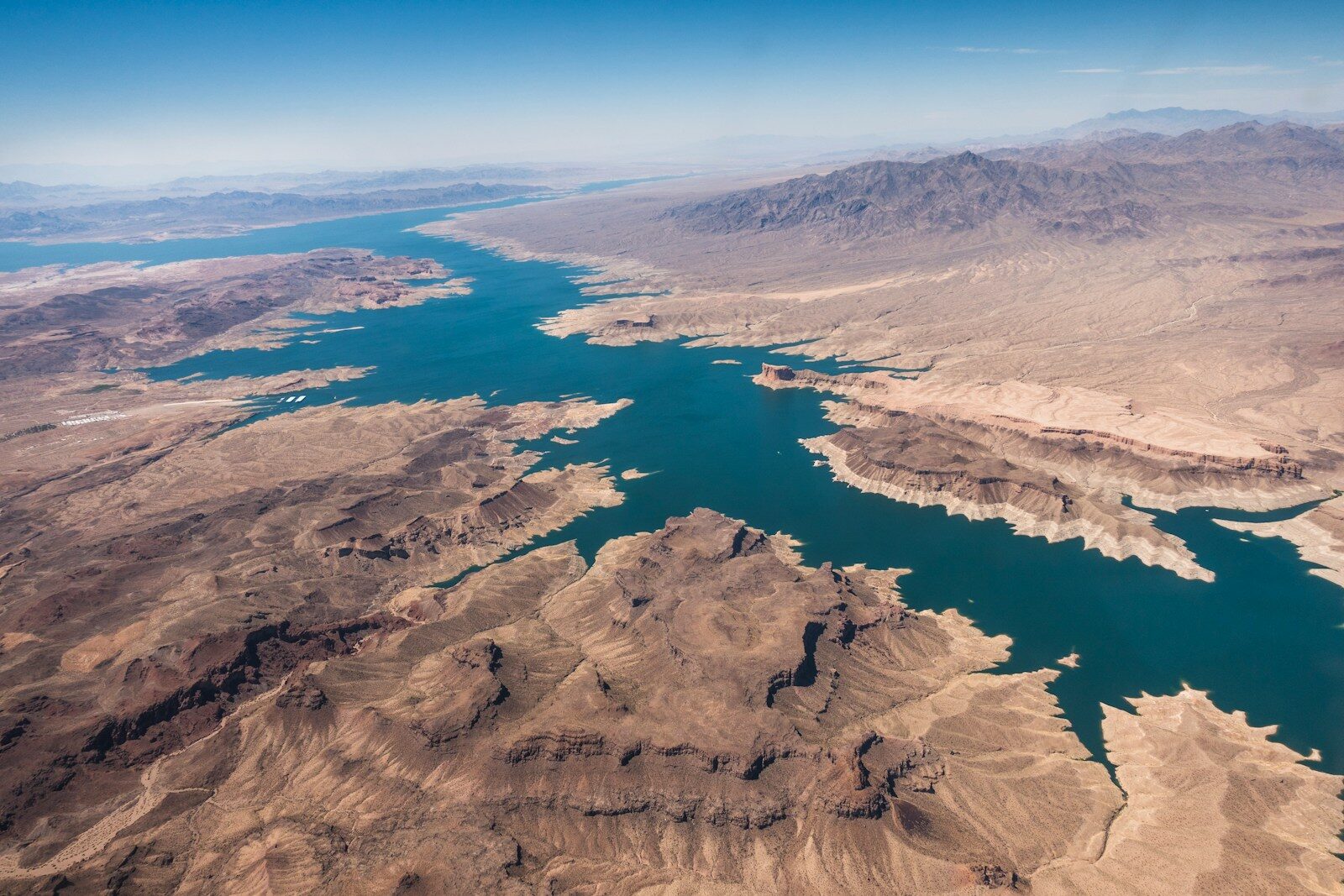
One of the most pressing environmental issues facing America is the alarming decline of its largest reservoirs and how it affects the millions of people who depend on them. CNN reported last week that water levels in Lake Mead dropped to 1,040.5 feet on Thursday, falling below the previous record low of 1,040.58 feet set in July 2022. Lake Powell is experiencing a similarly historic low.
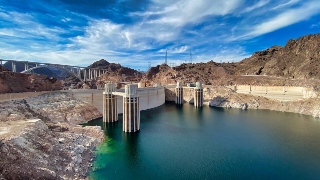
Lake Mead provides water to approximately 23 million people across Arizona, Colorado, California, and northern Mexico, while its hydroelectric turbines generate power for 1.3 million. When water levels drop too low, these turbines lose access to their sole power source: the reservoir itself.
Similarly, Lake Powell’s Glen Canyon Dam supplies electricity to 5 million people. Combined with the water from Lake Mead, the storage provided by Lake Powell is vital for the entire Colorado River Basin system, which supplies water to upwards of 40 million people across seven basin states and Mexico, according to the Western Resource Advocates.
This severe shortage stems from a sharp drop in the flow of the Colorado River, which has decreased by roughly 20% over the last 27 years compared to the 20th-century average. Many scientists attribute this decline to a multi-decade drought driven by climate change.
While several other massive U.S. reservoirs serve similar functions to Lakes Mead and Powell, the six largest are all located in the Western U.S.
Interestingly, two of these reservoirs are currently near capacity. The Toledo Bend Reservoir Water Data reports that Toledo Bend is 90.7% full. As the fifth-largest reservoir in America by surface area, it is fed by the Sabine River along the Texas-Louisiana border and has benefited from recent heavy rainfall. Lake Texoma offers another example of shifting conditions, having previously suffered from severe drought in 2014 before bouncing back.
Despite occasional recoveries, most environmentalists believe long-term drought conditions will ultimately prevail. KLAS reports that the U.S. Bureau of Reclamation’s 24-month study projects Lake Mead will fall to 1,009.69 feet by June 2028, representing a drop of nearly 33 feet over the next two years.
(Note: All water level data reflects current monthly reports. In some cases, up-to-date information is unavailable or unverified.)
| Rank | Reservoir | Dam | Built | Capacity (acre-ft) | % Full (current) |
| 1 | Lake Mead | Hoover Dam | 1936 | ~28.9 million | ~27% |
| 2 | Lake Powell | Glen Canyon Dam | 1966 | ~24.3 million | ~23% |
| 3 | Lake Sakakawea | Garrison Dam | 1953 | ~23.8 million | Running ~10 ft below its flood-control target |
| 4 | Lake Oahe | Oahe Dam | 1958 | ~23.0 million | Running ~11.5 ft below its flood-control target |
| 5 | Fort Peck Lake | Fort Peck Dam | 1937 | ~18.7 million | Running ~10 ft below its flood-control target |
| 6 | Lake Francis Case | Fort Randall Dam | 1952 | ~5.7 million | Not confirmed |
| 7 | Kentucky Lake | Kentucky Dam | 1944 | ~6.0 million | TVA does not publish percentage figures |
| 8 | Toledo Bend Reservoir | Toledo Bend Dam | 1966 | ~4.5 million | ~90.7% |
| 9 | Lake Texoma | Denison Dam | 1944 | ~2.7 million | ~100% |
| 10 | Lake Koocanusa | Libby Dam | 1972 | ~5.8 million | Not confirmed |
More from ClimateCrisis 247
- New York City Gets Flooded Again
- These Nations Will Be Underwater, and 600,000 People Will Leave
- From Deepwater Horizon to Donora: America’s Biggest Environmental Disasters
- Estancia, N.M. Is Drying Up