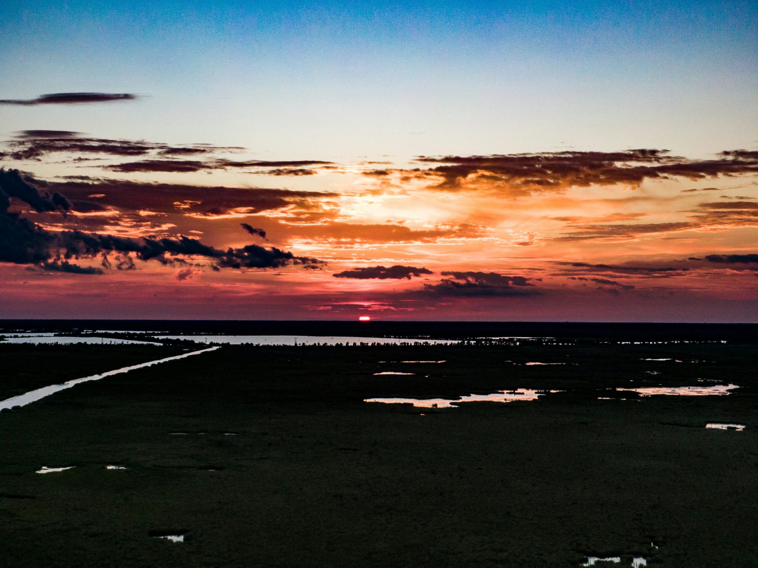
Southern Louisiana May Be Gone in 50 Years
Stretching from the Atlantic Ocean to the Pacific, the United States has nearly 100,000 miles of coastline – and according to the U.S. Geological Survey, coastal areas are home to over 40% of the U.S. population. As the effects of climate change intensify in the coming decades, many densely-populated coastal communities will face some of the most severe consequences of a warming planet.
According to a 2022 report from the National Ocean Service, greenhouse gas emissions that have already been released into the atmosphere will likely result in 2 feet of sea level rise along the U.S. coast by the end of the century. The same report also found that if future emissions are not meaningfully reduced, sea levels could rise by as much as 7 feet in the next 75 years.
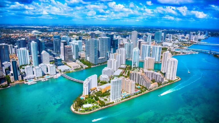
Even if global carbon emissions are curbed, the expected minimum level of sea level rise will expose millions of Americans to flooding risk. Researchers at Columbia University found that some of the most populous places in the country – including counties that are home to Los Angeles, Miami, New York, and San Diego – will be among the most vulnerable to sea level rise and flooding in the coming decades. But perhaps nowhere is the threat more pronounced in the U.S. than along Louisiana’s Gulf coast.
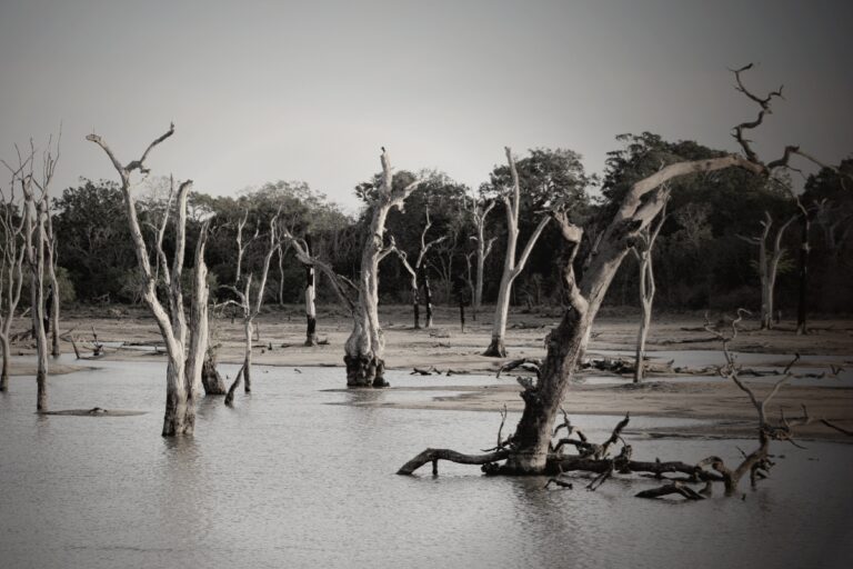
Flooding and the resulting land loss has been a problem in Louisiana for nearly a century. According to the Louisiana Coastal Protection and Restoration Authority, the state has lost an estimated 2,000 square miles of land since the 1930s. Estimates from the federal government show that for much of the last century, coastal land in the state disappeared at an annual rate of 25 to 35 square miles – more land area than the borough of Manhattan
Past land loss in the state is attributable to a number of factors, including levees and floodgates along the Mississippi River that deprive coastal wetlands of critical fresh water, ecological damage linked to oil and gas exploration, severe storms, invasive species, and sea level rise.
Encouragingly, land loss in the state has slowed in recent years. A study from the USGS shows that Louisiana now loses an area roughly the size of a football field every 100 minutes. Prior to 2010, it lost the same amount of land every hour. Experts attribute the improvement to an ongoing 15-year period without a major hurricane, as well as public and private sector wetland conservation initiatives.
The recent deceleration trend may prove short-lived, however. According to the state’s CPRA, if nothing is done to prepare for rising sea levels, Louisiana could lose another 3,000 square miles of land area in the next 50 years – 50% more than the total losses since the 1930s in roughly half the time.
Such a loss would inundate about 7% of the state – about three times the land area of Rhode Island. The same CPRA report found that coastal flooding could result in an average of $24.3 billion in damage every year, more than the combined losses accumulated from every billion-plus dollar climate disaster in the state throughout the 1990s, adjusting for inflation.
To mitigate the threat of sea-level rise, the state is investing tens of billions to create marshes, landbridges, and water diversions. These measures will not be enough to eliminate future land loss, however, and how effective they prove to be will hinge largely on the success or failure of global emissions reduction initiatives.
Sponsor
Find a Vetted Financial Advisor
- Finding a fiduciary financial advisor doesn't have to be hard. SmartAsset's free tool matches you with up to 3 financial advisors that serve your area in 5 minutes.
- Each advisor has been vetted by SmartAsset and is held to a fiduciary standard to act in your best interests. Get on the path toward achieving your financial goals!
More from ClimateCrisis 247
- The 9 Countries With The Most Air Conditioning
- 100+ Degree Temperatures Forecasted for Millions Across these Southwest Cities
- Heat Waves Start To Damage the U.S. Economy.
- 100 Degree Days Are New York’s Future