The U.S. States Where the Sea Is Rising Fastest
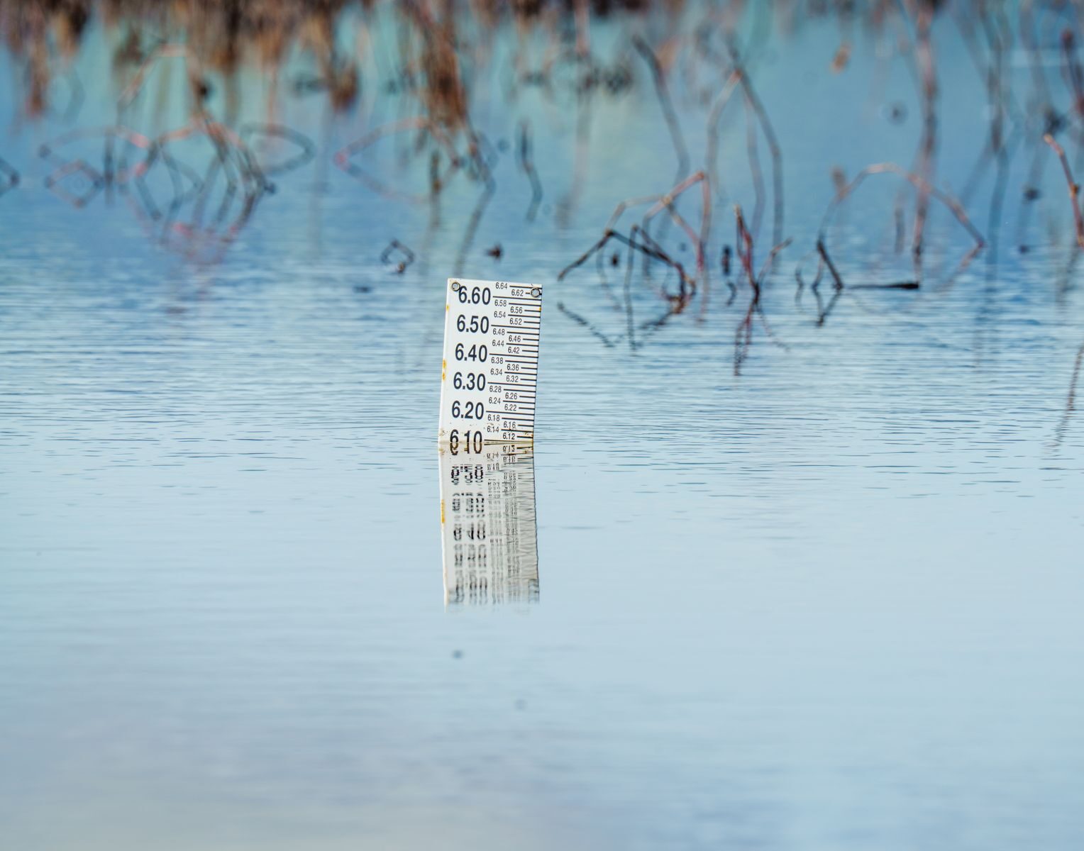
Sea level rise is likely to become one of the most hazardous, persistent, and expensive climate-related challenges in the coming years. According to the non-profit research and advocacy group Climate Central, nearly 30% of the U.S. population live along the shore, and as ice sheets melt and sea levels rise, millions of Americans will be faced with the threat of severe coastal flooding.
To mitigate hazards and improve resilience, some U.S. cities, including Charleston, South Carolina, Miami Beach, and San Francisco, are building seawalls–or protective retaining walls along the shore. The costs associated with such infrastructure projects are by no means trivial, however. According to estimates from the Center for Climate Integrity, seawall installation along the most vulnerable stretches of coastline in the Continental U.S. will likely cost more than $400 billion. Not a solution to the root cause of the problem, investment in infrastructure is only buying time.
Sea level rise is not a new phenomenon–but the pace at which it is now occurring is. Historical data shows that the Atlantic Ocean has risen by about 11 inches along much of the Eastern Seaboard in the last 75 years. Now, in many of the same areas, 11 inches of sea level rise is expected to occur in as little as 22 years.
Using data from the research organization SeaLevelRise.org, Climate Crisis 247 identified the states where sea-level rise is accelerating the fastest. We ranked all coastal states in the Continental U.S. on the current rate of sea-level rise. Only the 10 states with the fastest rates of change are listed. Supplemental data on historical sea-level rise is also from SeaLevelRise.org. All other supplemental data is from Climate Central.
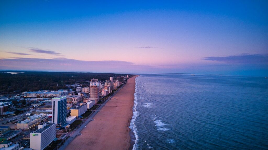
10. Virginia
- Current rate of sea level rise: 1 inch every 4 years
- Observed historical sea level rise: 14 inches since 1950
- Population in areas at risk of severe coastal flooding by 2050: 1.7% (146,035 people total)
- Homes in areas at risk of severe coastal flooding by 2050: 2.0% (71,236 homes total)
- Land area at risk of severe coastal flooding by 2050: 847 square miles
9. Florida
- Current rate of sea level rise: 1 inch every 3 years
- Observed historical sea level rise: 8 inches since 1950
- Population in areas at risk of severe coastal flooding by 2050: 2.4% (505,498 people total)
- Homes in areas at risk of severe coastal flooding by 2050: 3.6% (355,096 homes total)
- Land area at risk of severe coastal flooding by 2050: 4,210 square miles
8. Connecticut
- Current rate of sea level rise: 1 inch every 2.5 years
- Observed historical sea level rise: 5 inches since 1964
- Population in areas at risk of severe coastal flooding by 2050: 1.1% (38,398 people total)
- Homes in areas at risk of severe coastal flooding by 2050: 1.3% (19,538 homes total)
- Land area at risk of severe coastal flooding by 2050: 60 square miles
7. Mississippi
- Current rate of sea level rise: 1 inch every 2 years
- Observed historical sea level rise: 7 inches since 1978
- Population in areas at risk of severe coastal flooding by 2050: 0.5% (15,695 people total)
- Homes in areas at risk of severe coastal flooding by 2050: 0.6% (8,500 homes total)
- Land area at risk of severe coastal flooding by 2050: 270 square miles
6. South Carolina
- Current rate of sea level rise: 1 inch every 2 years
- Observed historical sea level rise: 10 inches since 1950
- Population in areas at risk of severe coastal flooding by 2050: 1.3% (67,057 people total)
- Homes in areas at risk of severe coastal flooding by 2050: 1.9% (45,060 homes total)
- Land area at risk of severe coastal flooding by 2050: 1,414 square miles
5. North Carolina
- Current rate of sea level rise: 1 inch every 2 years
- Observed historical sea level rise: 11 inches since 1950
- Population in areas at risk of severe coastal flooding by 2050: 0.6% (67,207 people total)
- Homes in areas at risk of severe coastal flooding by 2050: 1.1% (49,562 homes total)
- Land area at risk of severe coastal flooding by 2050: 1,756 square miles
4. Georgia
- Current rate of sea level rise: 1 inch every 2 years
- Observed historical sea level rise: 11 inches since 1950
- Population in areas at risk of severe coastal flooding by 2050: 0.2% (24,111 people total)
- Homes in areas at risk of severe coastal flooding by 2050: 0.3% (12,941 homes total)
- Land area at risk of severe coastal flooding by 2050: 1,011 square miles
3. Alabama
- Current rate of sea level rise: 1 inch every 2 years
- Observed historical sea level rise: 11 inches since 1966
- Population in areas at risk of severe coastal flooding by 2050: 0.4% (20,961 people total)
- Homes in areas at risk of severe coastal flooding by 2050: 0.9% (20,710 homes total)
- Land area at risk of severe coastal flooding by 2050: 358 square miles
2. Louisiana
- Current rate of sea level rise: 1 inch every 2 years
- Observed historical sea level rise: 24 inches since 1950
- Population in areas at risk of severe coastal flooding by 2050: 6.7% (313,163 people total)
- Homes in areas at risk of severe coastal flooding by 2050: 6.7% (139,782 homes total)
- Land area at risk of severe coastal flooding by 2050: 9,164 square miles
1. Texas
- Current rate of sea level rise: 1 inch every year
- Observed historical sea level rise: 18 inches since 1950
- Population in areas at risk of severe coastal flooding by 2050: 0.3% (78,432 people total)
- Homes in areas at risk of severe coastal flooding by 2050: 0.5% (56,473 homes total)
- Land area at risk of severe coastal flooding by 2050: 1,885 square miles
More from ClimateCrisis 247
- Mapping the US Counties Where Climate Doubt is Spreading
- From Deepwater Horizon to Donora: America’s Biggest Environmental Disasters
- The Heaviest Polluting Power Plants in the United States
- The Largest Wildfires Burning In The US Today